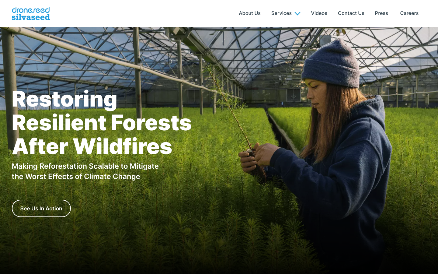
DroneSeed
Reforesting after wildfires with drones
Seattle, WA, United States of America
sustainability, fires, forests

Reforesting after wildfires with drones
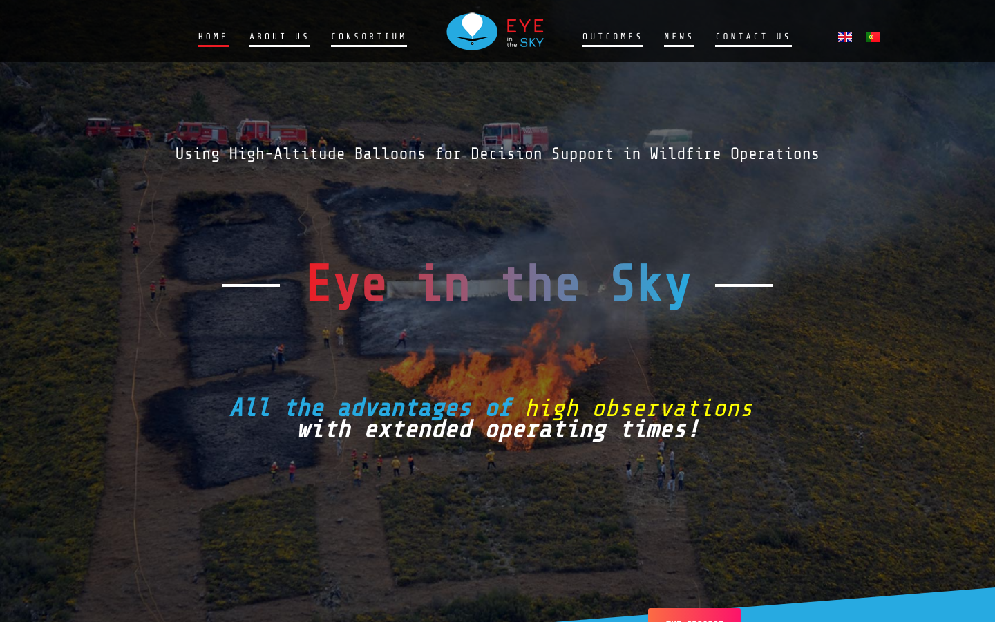
Using High-Altitude Balloons [and drones] for Decision Support in Wildfire Operations
The initiative was developed in partnership between the National Council of Justice (CNJ) and the United Nations Development Program (UNDP), with support from the Federal Supreme Court (STF), Superior Court of Justice (STJ), Superior Electoral Court (TSE), and Superior Council of Labor Justice (CSJT).

A community of female drone pilots, enthusiasts, content creators and innovators. Fly, learn and contribute with us!

Georeferenced Guassian Splatting for drones to reproduce thin and tricky structures with clarity.
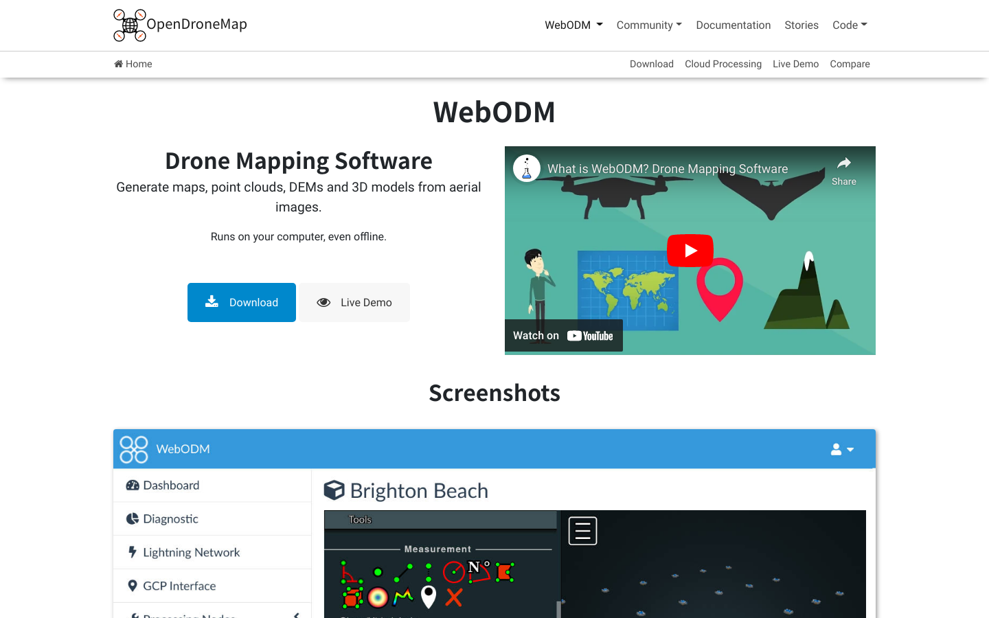
A free, user-friendly, extendable application and API for drone image processing.
We’re building sustainable solutions for collecting, processing, analyzing and displaying aerial data while supporting the communities built around them.