
"Unmanned aerial vehicles" and other self-propelled flying machines when they're used for positive societal ends, like delivering medicine or capturing environmental imagery.

Georeferenced Guassian Splatting for drones to reproduce thin and tricky structures with clarity.
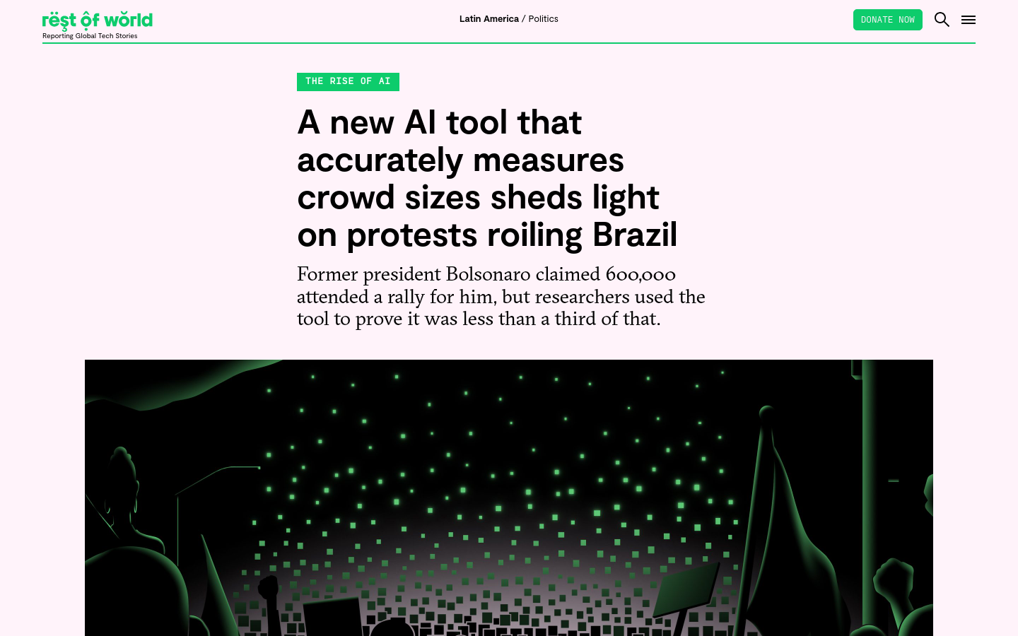
Former president Bolsonaro claimed 600,000 attended a rally for him, but researchers used the tool to prove it was less than a third of that.
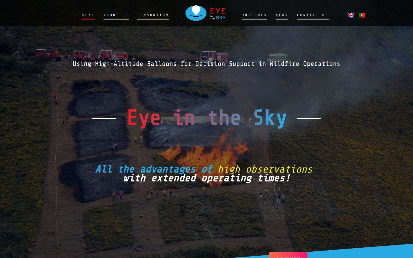
Using High-Altitude Balloons [and drones] for Decision Support in Wildfire Operations
OpenAerialMap is an open service to provide access to a commons of openly licensed imagery and map layer services. Download or contribute imagery to the growing commons of openly licensed imagery. Start Exploring
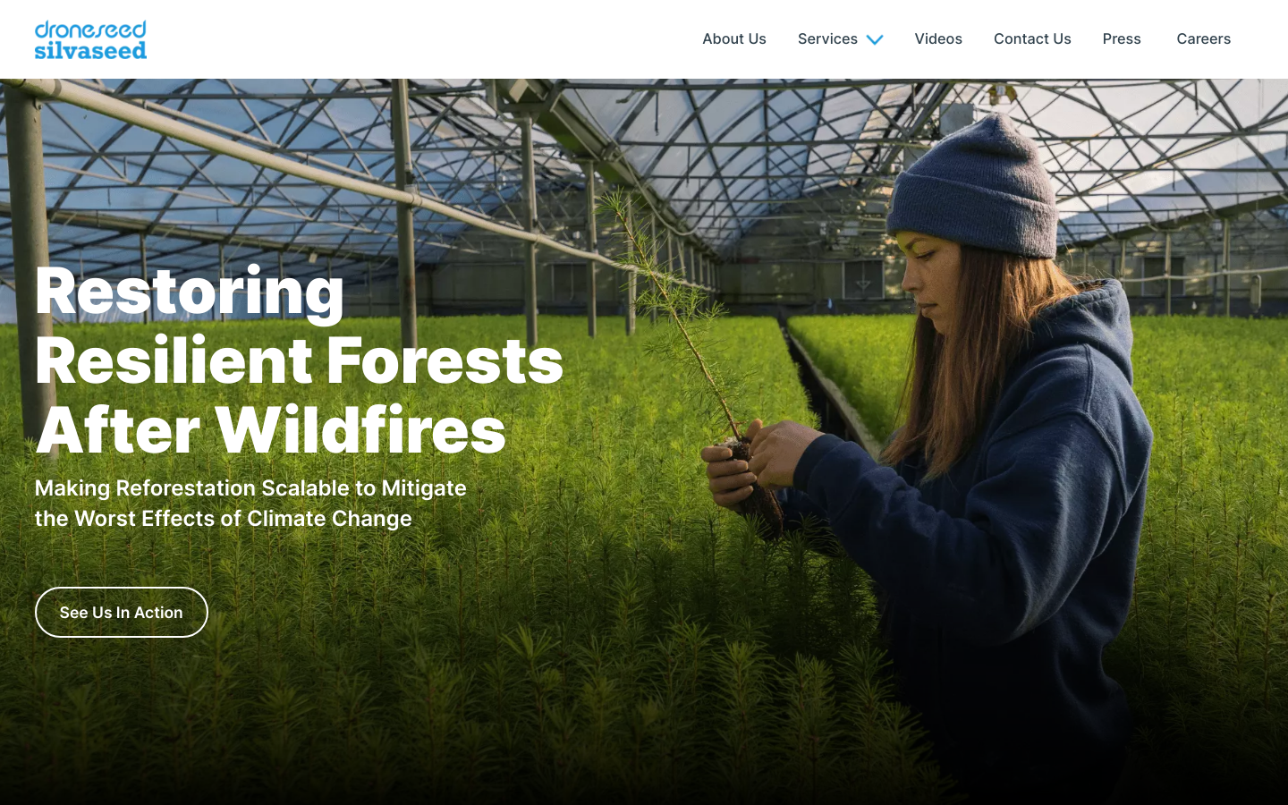
Reforesting after wildfires with drones

We co-create and facilitate a network of local knowledge hubs in Africa, Asia and Latin America to build on existing expertise in drones, data and AI, the “Flying Labs®” network.

Links, thoughts and research into using drones, UAVs or remotely piloted vehicles for journalism
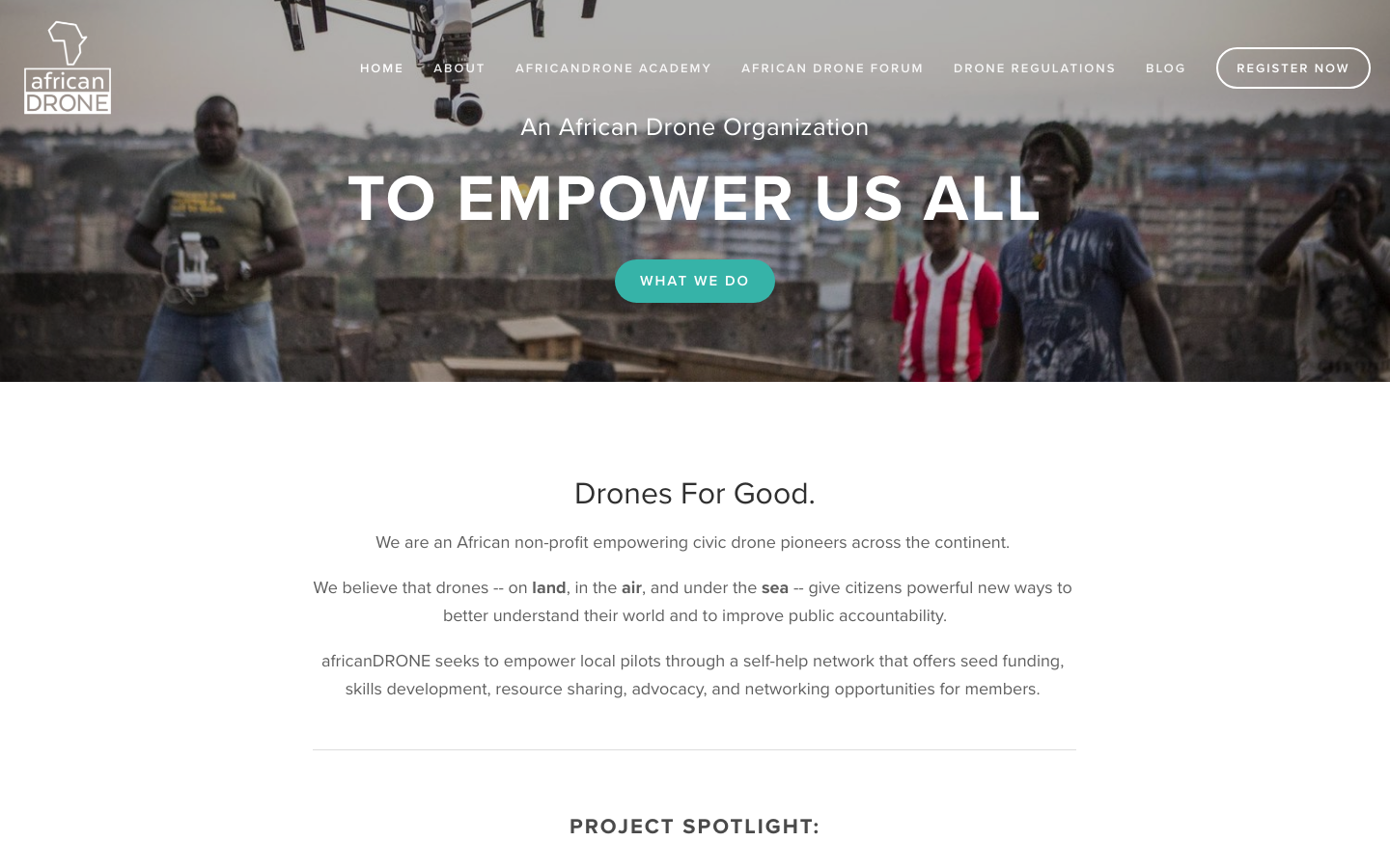
africanDRONE seeks to empower the drone pioneers already living on the continent, by networking them together into a self-help association that can share resources and knowledge