PIX4D
Georeferenced Guassian Splatting for drones to reproduce thin and tricky structures with clarity.

Georeferenced Guassian Splatting for drones to reproduce thin and tricky structures with clarity.
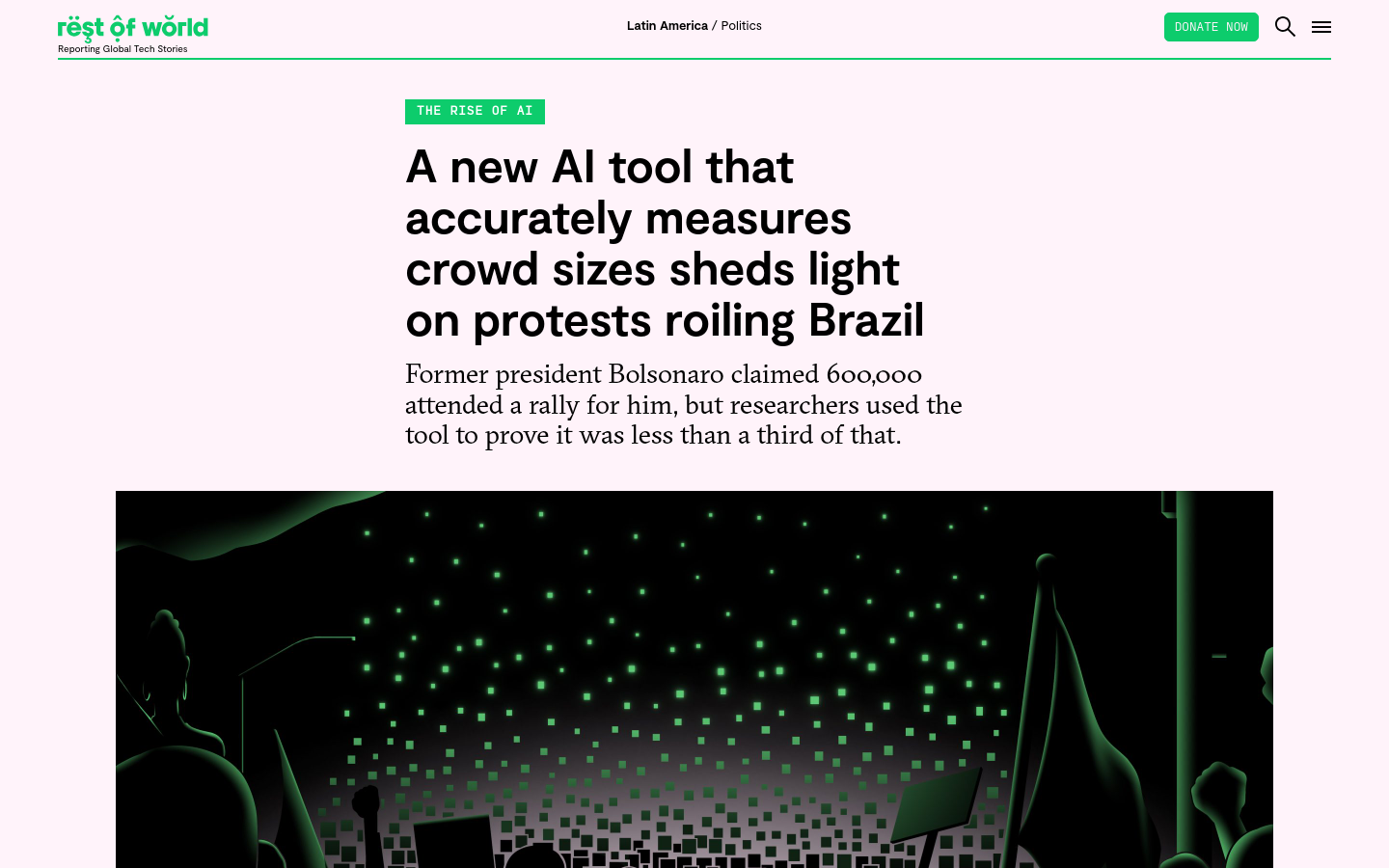
Former president Bolsonaro claimed 600,000 attended a rally for him, but researchers used the tool to prove it was less than a third of that.
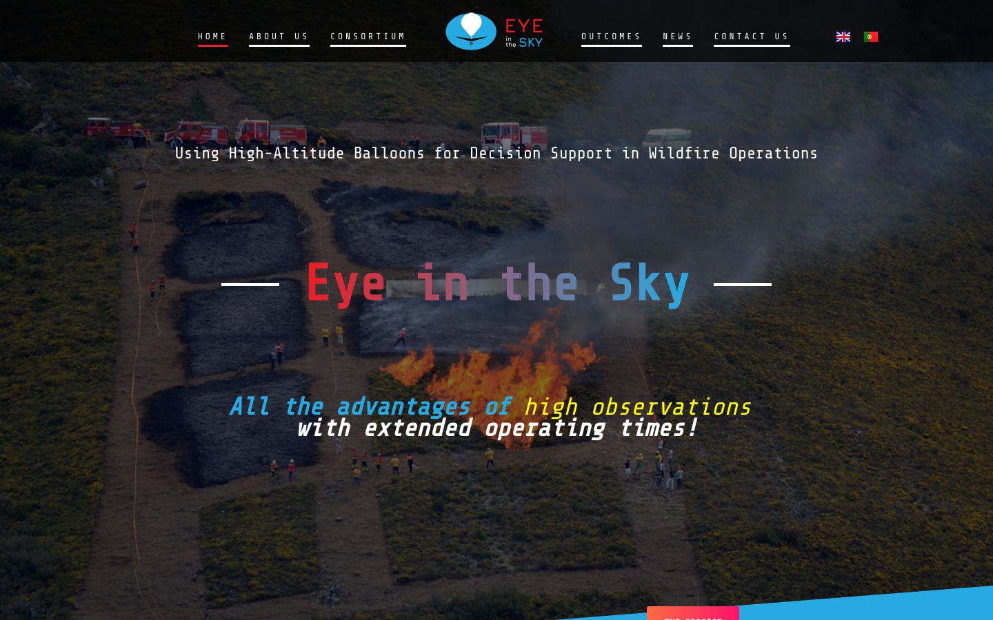
Using High-Altitude Balloons [and drones] for Decision Support in Wildfire Operations
OpenAerialMap is an open service to provide access to a commons of openly licensed imagery and map layer services. Download or contribute imagery to the growing commons of openly licensed imagery. Start Exploring