Drones & Dreams: A Speculative Sprint Story Collection
A speculative story sprint collection
Asia
2019

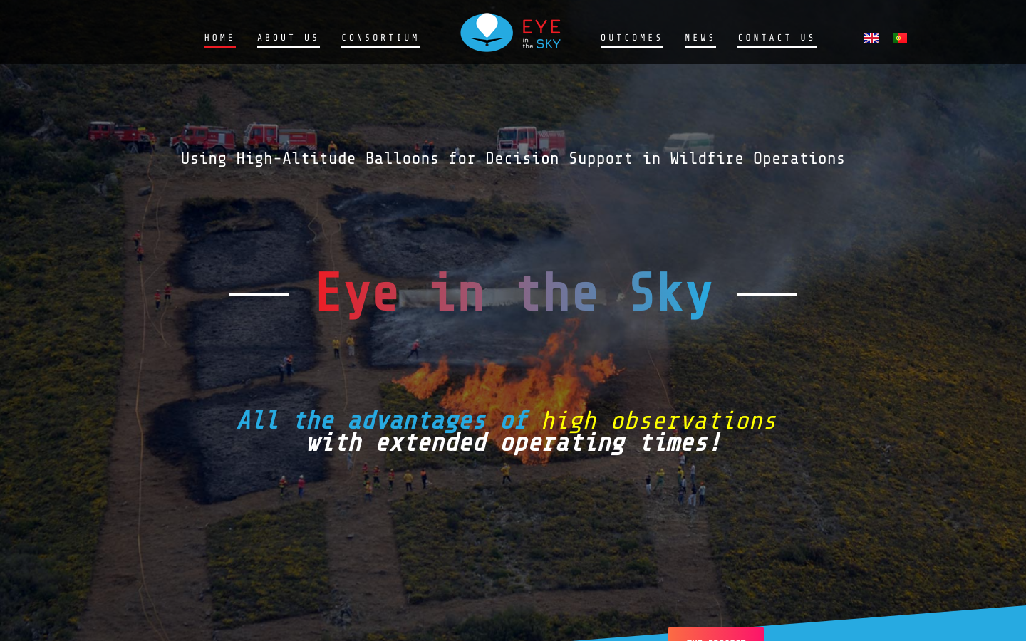
Using High-Altitude Balloons [and drones] for Decision Support in Wildfire Operations
The Eye in the Sky Project aims at the design and development of an aerial platform to support wildfire operations. The system reinforces the emergency communications network, while providing real-time geo-referenced images from high altitude, allowing the fire perimeter monitoring and detection of hotspots in the burnt area. This information with high spatial and temporal resolution improves situational-awareness, in order to support firefighting operations and the definition of tactics and firefighting strategies. The platform will be composed by a High-Altitude Balloon (HAB) responsible for the rise in altitude of an observation and communication payload to collect and transmit images and to relay communications. The HAB will also carry an unmanned aerial vehicle (UAV) – flying wing type (glider) – which will be launched from high altitude. Thus, when the HAB moves away from the region of interest, the UAV is released carrying the payloads to the remotely indicated position.
The system attaches to a drone, and drops small incendiaries known as “dragon eggs” from a safe height, at a much lower cost and personal risk than a helicopter.
Drone maps and 3D models processed in the cloud for construction, mining, energy, & more.
OpenAerialMap is an open service to provide access to a commons of openly licensed imagery and map layer services. Download or contribute imagery to the growing commons of openly licensed imagery. Start Exploring