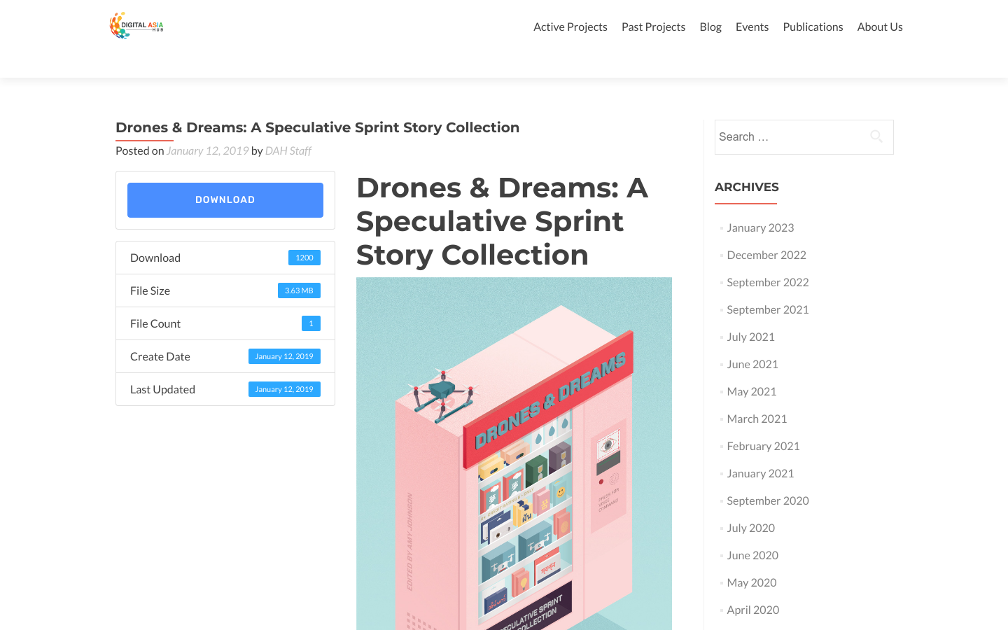
Drones & Dreams: A Speculative Sprint Story Collection
A speculative story sprint collection
Asia
2019

Georeferenced Guassian Splatting for drones to reproduce thin and tricky structures with clarity.
Pix4D merges Gaussian Splatting with general photogrammetry into one common reconstruction workflow. Instead of splatting as an afterthought add-on, Pix4D incorporates splatting into the basic flow that controls the generation, verification, and georeferencing of point clouds and meshes. Unlike traditional photogrammetry, instead of reducing the world into rigid meshes or disconnected points, [Gaussian Splatting constructs reality from millions of radiance-rich “splats".](https://www.pix4d.com/blog/pix4d-gaussian-splatting-3D-visualization/) Each splat carries depth, color, and orientation, blending into a model that looks strikingly lifelike.

The system attaches to a drone, and drops small incendiaries known as “dragon eggs” from a safe height, at a much lower cost and personal risk than a helicopter.
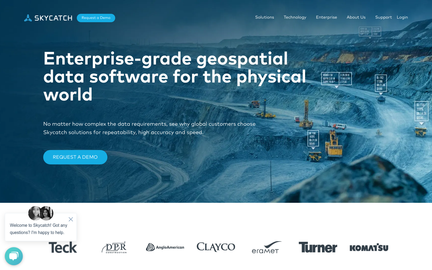
Drone maps and 3D models processed in the cloud for construction, mining, energy, & more.
OpenAerialMap is an open service to provide access to a commons of openly licensed imagery and map layer services. Download or contribute imagery to the growing commons of openly licensed imagery. Start Exploring