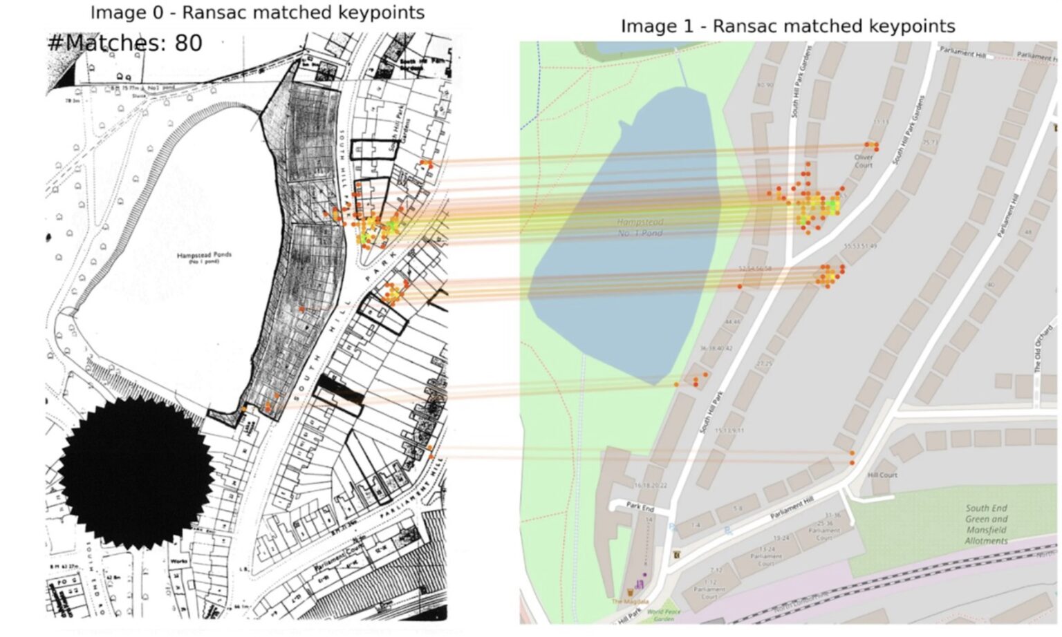
Extract
Using AI to unlock historic planning data
10 Downing Street
2025
Gemini, OpenStreetMap

Explore 64 projects in the Urban Planning category of the Civic Tech Field Guide.
Using AI to unlock historic planning data
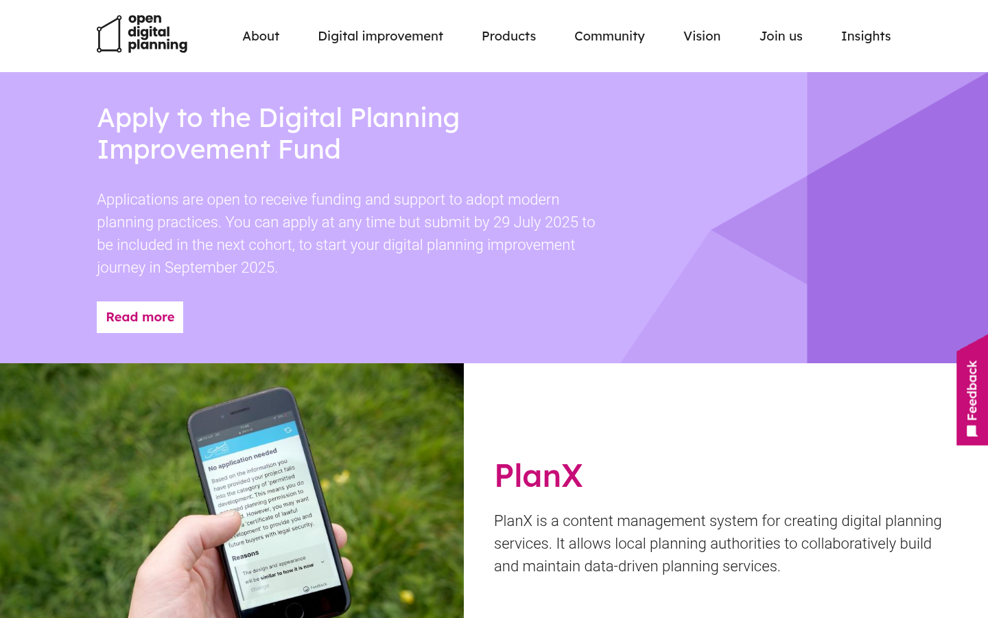
PlanX is a content management system for creating digital planning services. It allows local planning authorities to collaboratively build and maintain data-driven planning services.
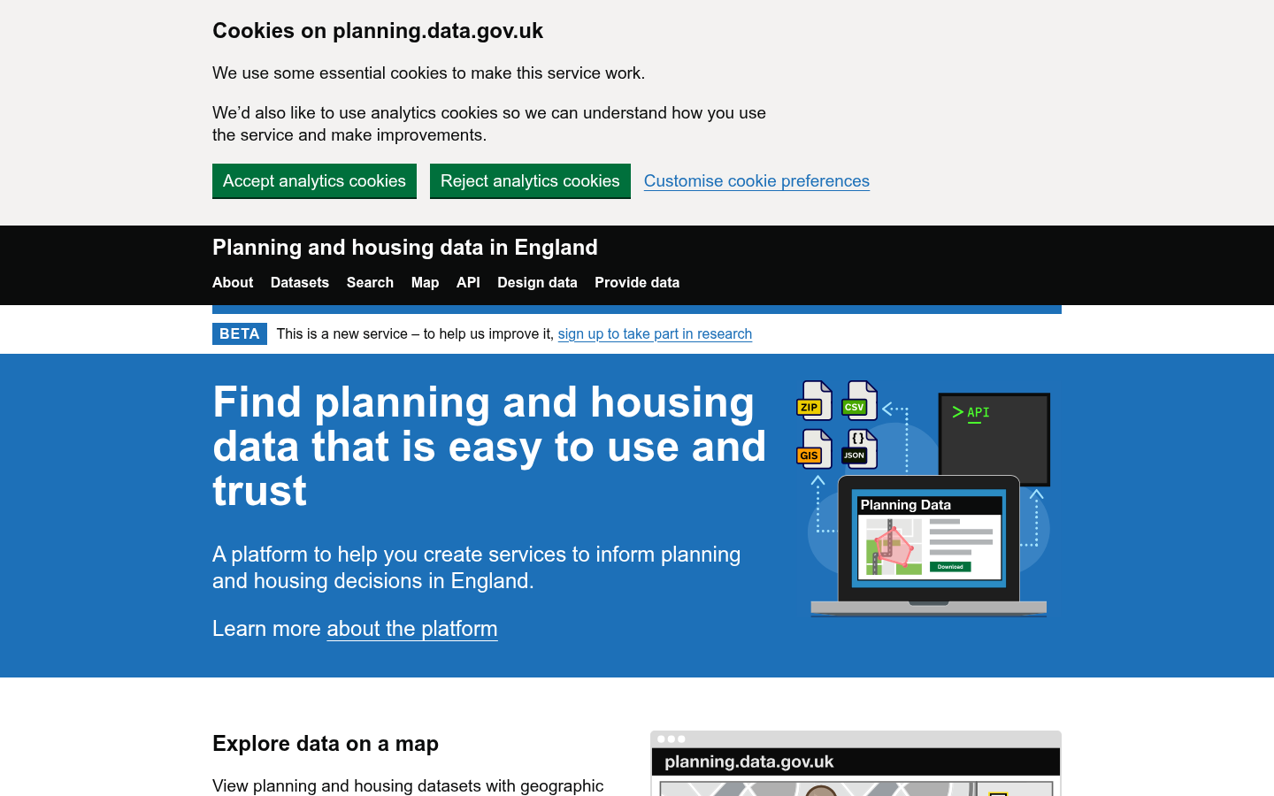
Official government portal for open planning and housing data
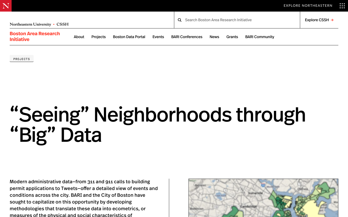
Modern administrative data—from 311 and 911 calls to building permit applications to Tweets—offer a detailed view of events and conditions across the city.
The project will establish a workshop to bring community-centered planning to the emerging technology of autonomous vehicles (AV)
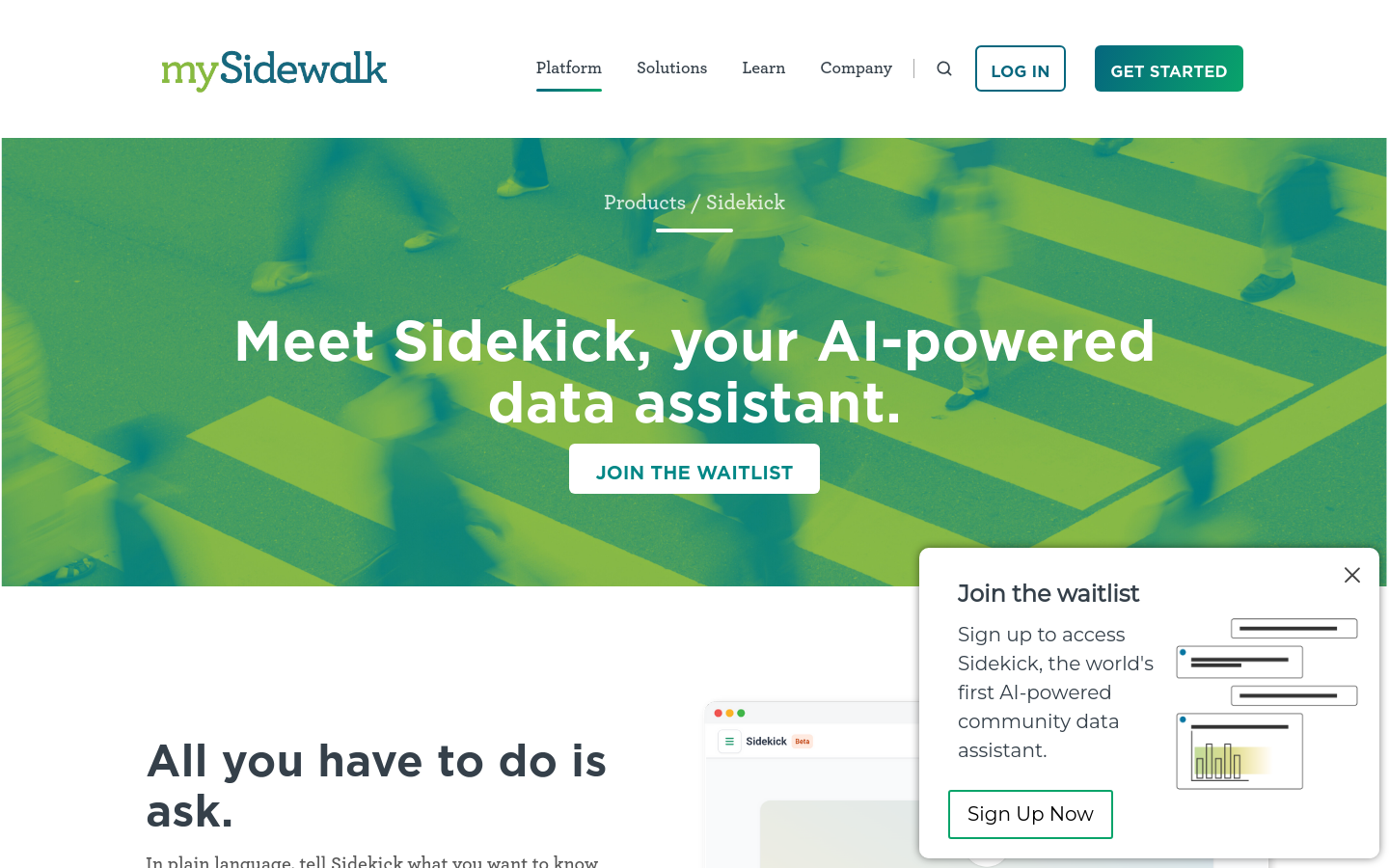
In plain language, tell Sidekick what you want to know and get answers straight from the mySidewalk data library.
BARI has worked closely with the Mayor’s Office of New urban Mechanics and the 311 system examine how Bostonians contribute to the maintenance of the public spaces and infrastructure of neighborhoods—that is, custodianship in the urban commons.
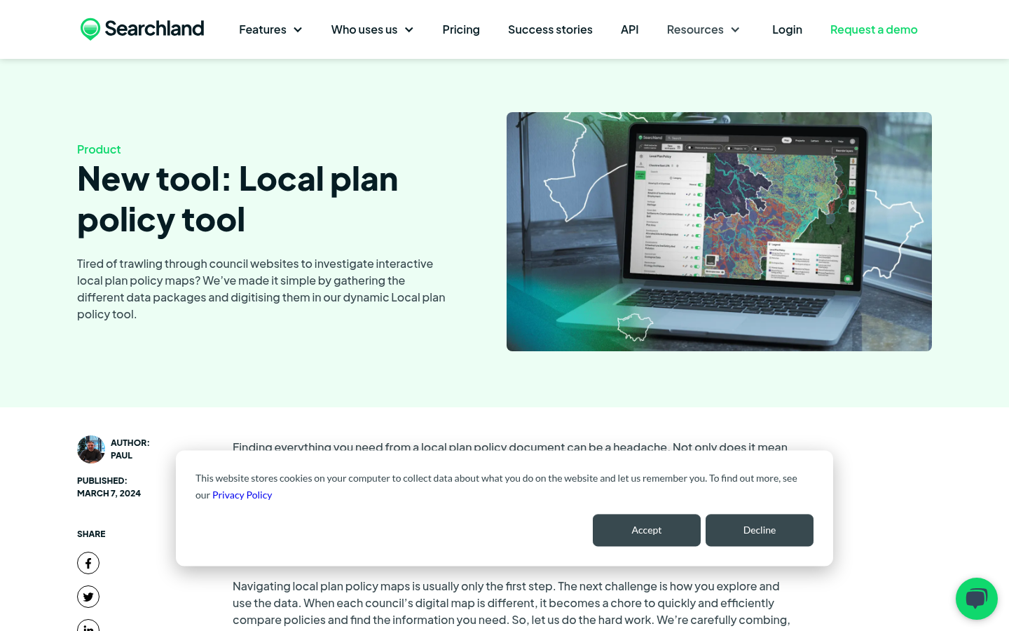
Local plan policy tool
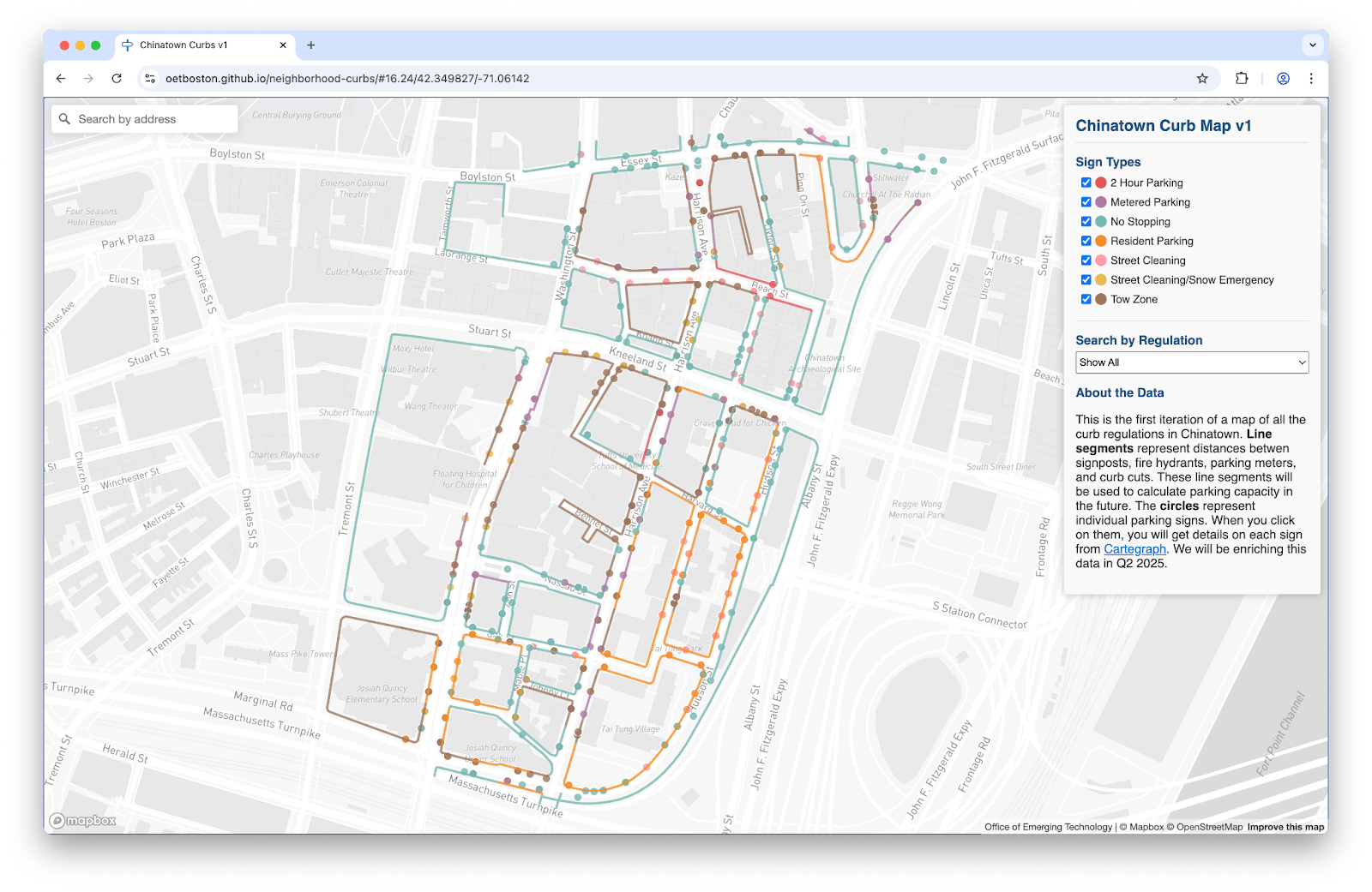
To solve these challenges, the Streets Cabinet and Innovation and Technology Cabinet are building a digital map of Boston’s complex curb network and regulations.