Civic Tech Field Guide
Submit Project

Directory / Curb management

Curb management

Explore 5 projects in the Curb management category of the Civic Tech Field Guide.

Curb management platforms are a class of urban tech that use data, sensors, and digital mapping tools to coordinate how curbs are used in cities. The stated goal is to balance competing demands from road users like parking, deliveries, rideshare, bikes, pedestrians, and others, but in real time. The wave of companies that represented this field during its boom from 2018-2020 have mostly been shut down, absorbed, or abandoned: Coord was bought by Sidewalk Labs just as Alphabet was dissolving it into Google, and the open standards meant to keep curb data portable have sat untouched for years. City-run programs and the Curb Data Specification continue.

5 projects

Curb Data Specification (CDS)

A digital tool that helps cities and companies pilot and scale dynamic curb zones. CDS provides a mechanism for expressing static and dynamic regulations, measuring activity at the curb, and developing policies that create more accessible, useful curbs.

California

Automotus

tackling safety hazards, congestion, compliance and emissions. automated curb management for cities + airports

Los Angeles, CA

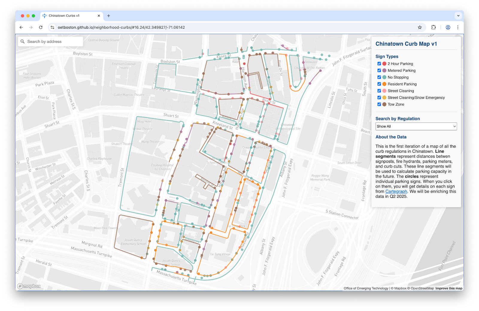
Boston Curb Usage Map

To solve these challenges, the Streets Cabinet and Innovation and Technology Cabinet are building a digital map of Boston’s complex curb network and regulations.

Boston, MA
city

Uber data-sharing with governments

The ride-hailing company is working with DC to share data—and the much coveted curb.

Uber HQ, Market Street, San Francisco, CA, USA
2009
Uber