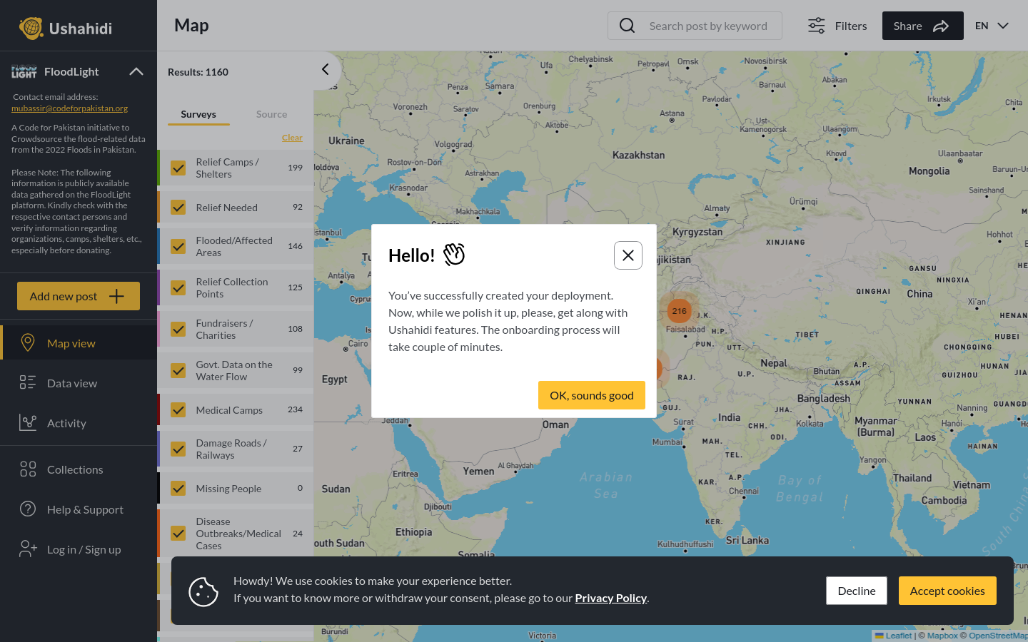
FloodLight
A Code for Pakistan initiative to Crowdsource the flood-related data from the 2022 Floods in Pakistan.
Pakistan
2022
floods

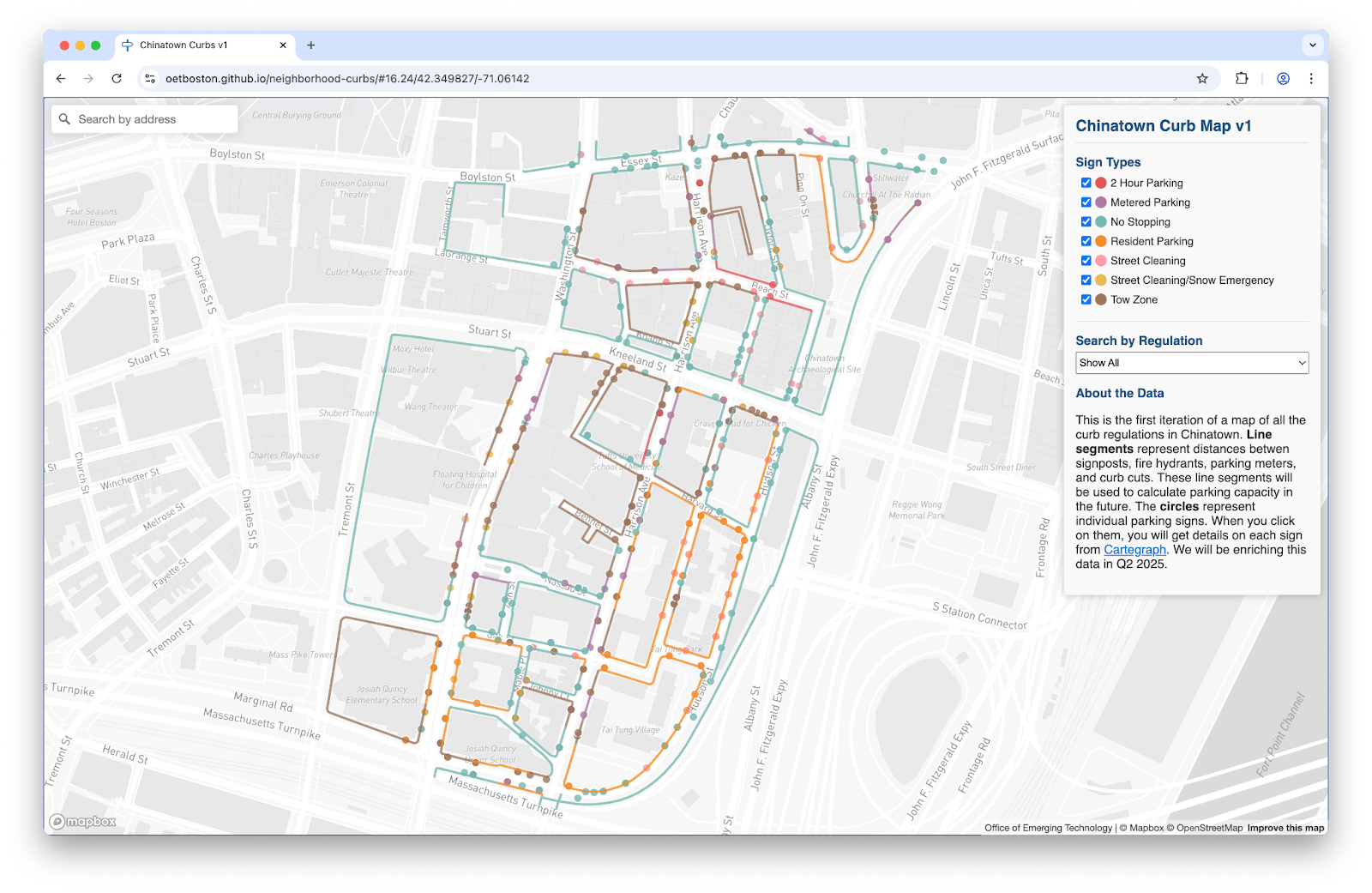
To solve these challenges, the Streets Cabinet and Innovation and Technology Cabinet are building a digital map of Boston’s complex curb network and regulations.
Over the last decade, ride-sharing, delivery services, and population growth have placed new demands on the City of Boston's limited curb space. Residents need to quickly understand where they can park. The City must have processes to continuously update parking rules based on community needs. Legal loading zones must be easy to find, such that delivery drivers can access them. To solve these challenges, the **Streets Cabinet** and **Innovation and Technology Cabinet** are building a digital map of Boston’s complex curb network and regulations. Through the U.S. Department of Transportation [Strengthening Mobility and Revolutionizing Transportation](https://www.transportation.gov/grants/SMART) (SMART) Grant, this digital transformation will combine artificial intelligence, real-time information sharing, and planning expertise to implement solutions for curbside management.
A Code for Pakistan initiative to Crowdsource the flood-related data from the 2022 Floods in Pakistan.
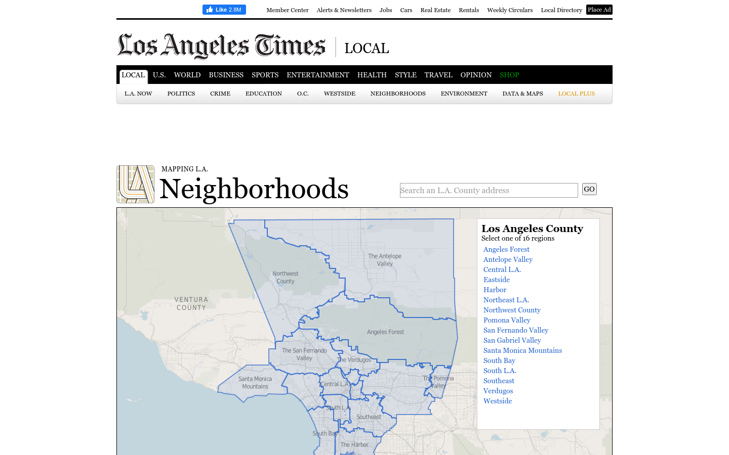
This regional view is your portal to individual maps and statistics for 158 cities and unincorporated places and 114 neighborhoods within the city of Los Angeles.
A 12-year retrospective of problems that have bothered Bangkok residents | สำรวจปัญหากวนใจชาว กทม.
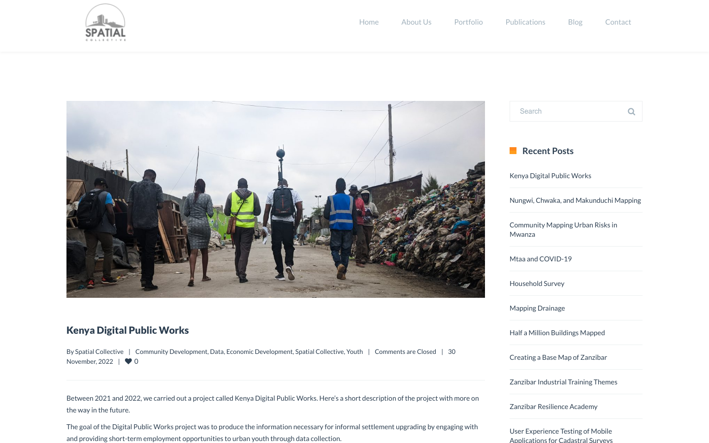
"DPW set out to answer a question: Can the youth use affordable and widely available technologies to gather the information necessary to support informal settlement upgrading?"