Carbon Mapper
We leverage remote sensing technology to detect, pinpoint, and quantify methane and carbon dioxide (CO2) emissions at the scale of individual facilities.
methane, Climate action, Responsible consumption and production

Explore 25 projects in the Satellites category of the Civic Tech Field Guide.
We leverage remote sensing technology to detect, pinpoint, and quantify methane and carbon dioxide (CO2) emissions at the scale of individual facilities.

Amazon Mining Watch uses machine learning to map the scars of gold mining activities in the Amazonian countries.

UP42 transforms how organizations order, access, and analyze Earth observation data.
Starshield leverages SpaceX's Starlink technology and launch capability to support national security efforts. While Starlink is designed for consumer and commercial use, Starshield is designed for government use, with an initial focus on three areas:
"an end-to-end open-source framework for creating georeferenced pedestrian networks from aerial imagery"
MethaneMapper is an open-source, AI-powered hyperspectral imaging tool to detect methane emissions and trace them to their sources.
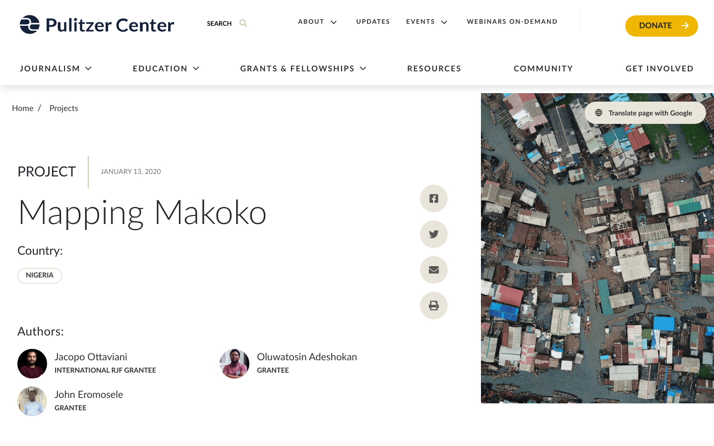
A combined tech and journalistic effort to map the Makoko informal settlement
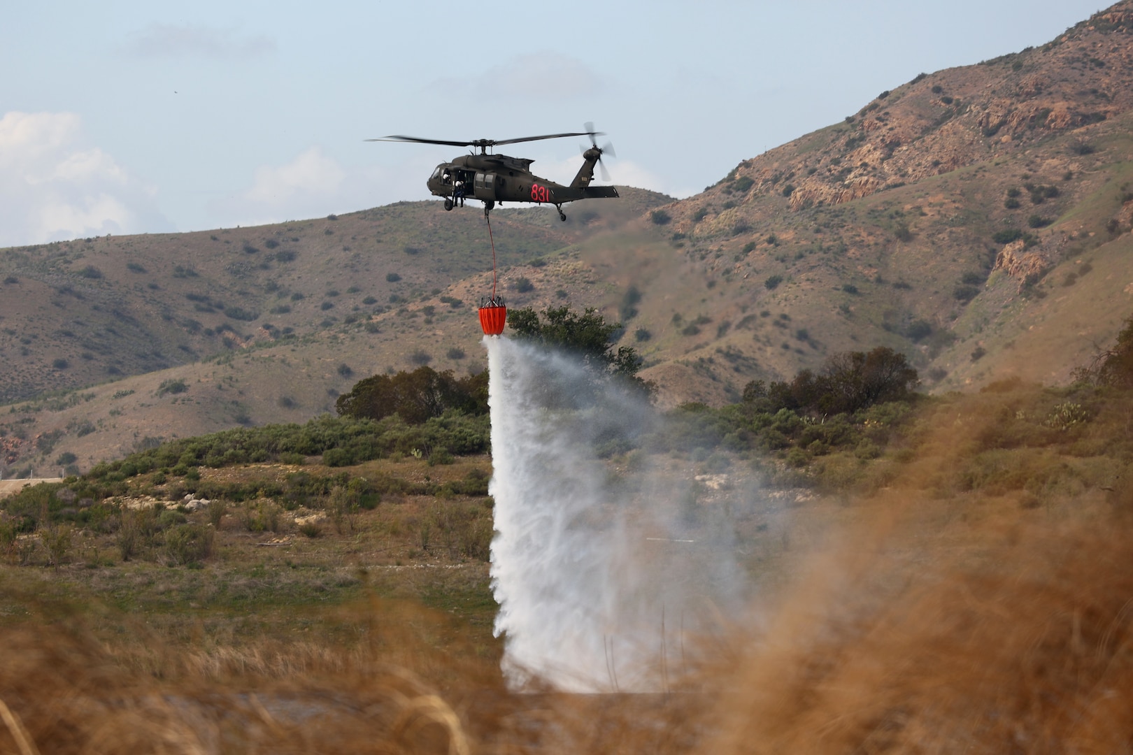
FireGuard uses military satellites with the National Interagency Fire Center, U.S. Forest Service and the National Geospatial-Intelligence Agency’s Firefly capability to detect wildfires, notify authorities, and create products to disseminate to firefighting networks nationwide.
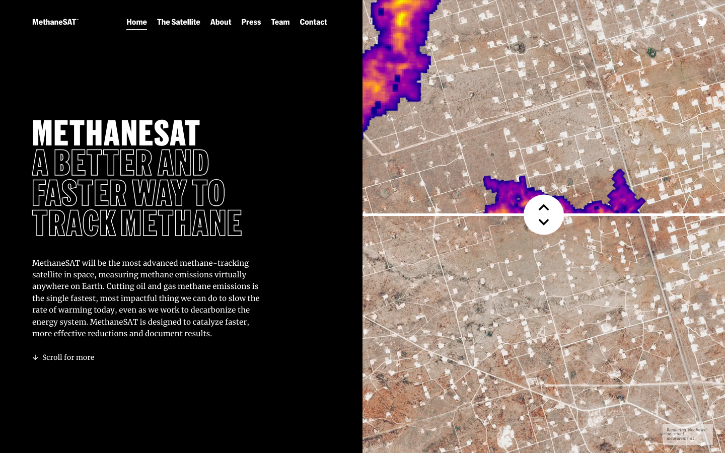
A better and faster way to track methane