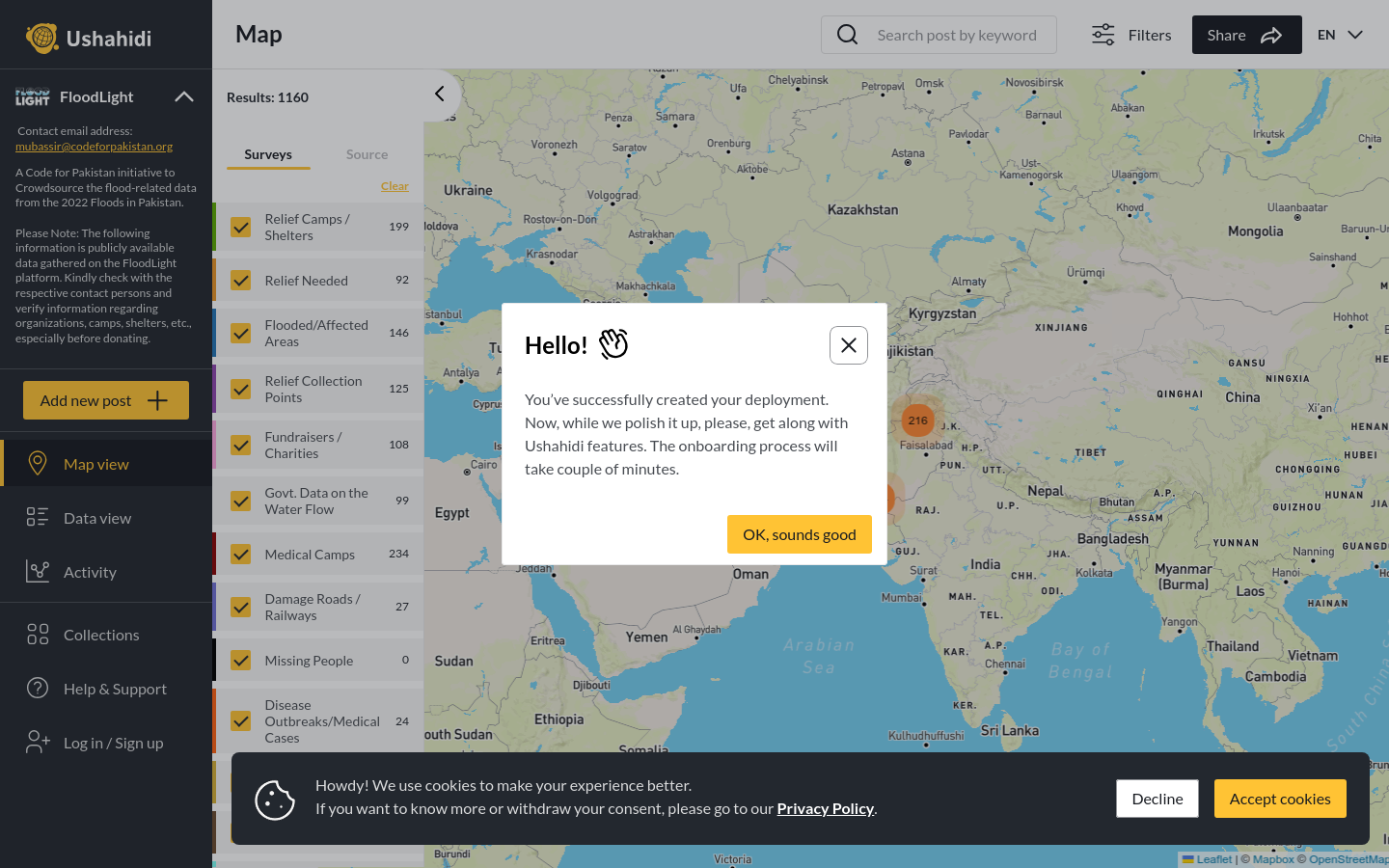
FloodLight
A Code for Pakistan initiative to Crowdsource the flood-related data from the 2022 Floods in Pakistan.
Pakistan
2022
floods

A combined tech and journalistic effort to map the Makoko informal settlement
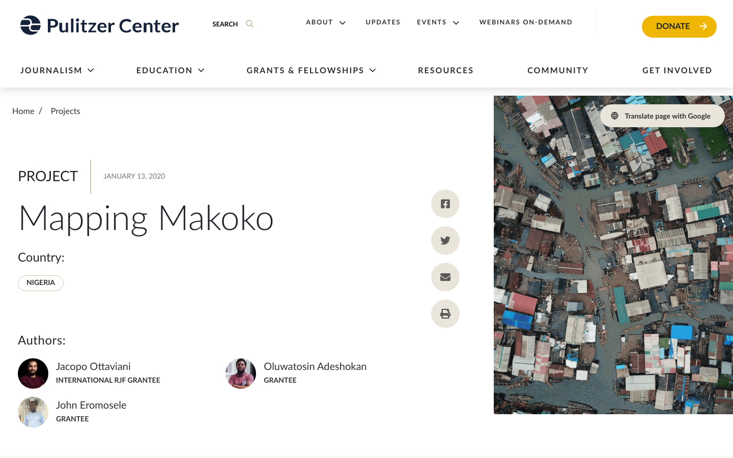
Makoko is one of Africa's most unique inner-city slums, with a third of the community built on stilts in a lagoon off the Lagos mainland. Transport is by canoe. The rest of the settlement is on swampy land with little sanitation and few public services. Makoko is estimated to be home to 300,000 people, but both government and residents claim the figure is higher. The numbers are hazy because the area appears as a near-blank space on maps—with little information about structures, density, or streets. This means it is almost impossible to properly track land ownership, plan infrastructure, optimize services, plan for emergencies, or support development. Being a blank spot on the map means authorities never adequately allocate resources to Makoko, or—worse—exploit the lack of awareness to grab the land and displace dwellers. This reporting explores a bottom-up mapping project that helped the community fight for their land rights. The project combines data, satellite images, on-the-ground multimedia journalism, and long-form storytelling.
A Code for Pakistan initiative to Crowdsource the flood-related data from the 2022 Floods in Pakistan.
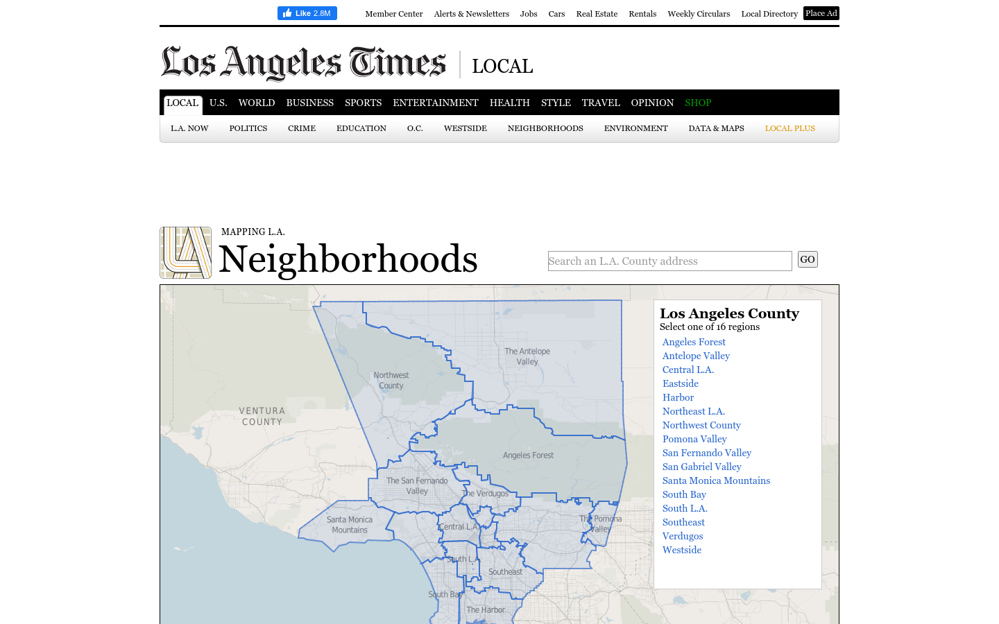
This regional view is your portal to individual maps and statistics for 158 cities and unincorporated places and 114 neighborhoods within the city of Los Angeles.
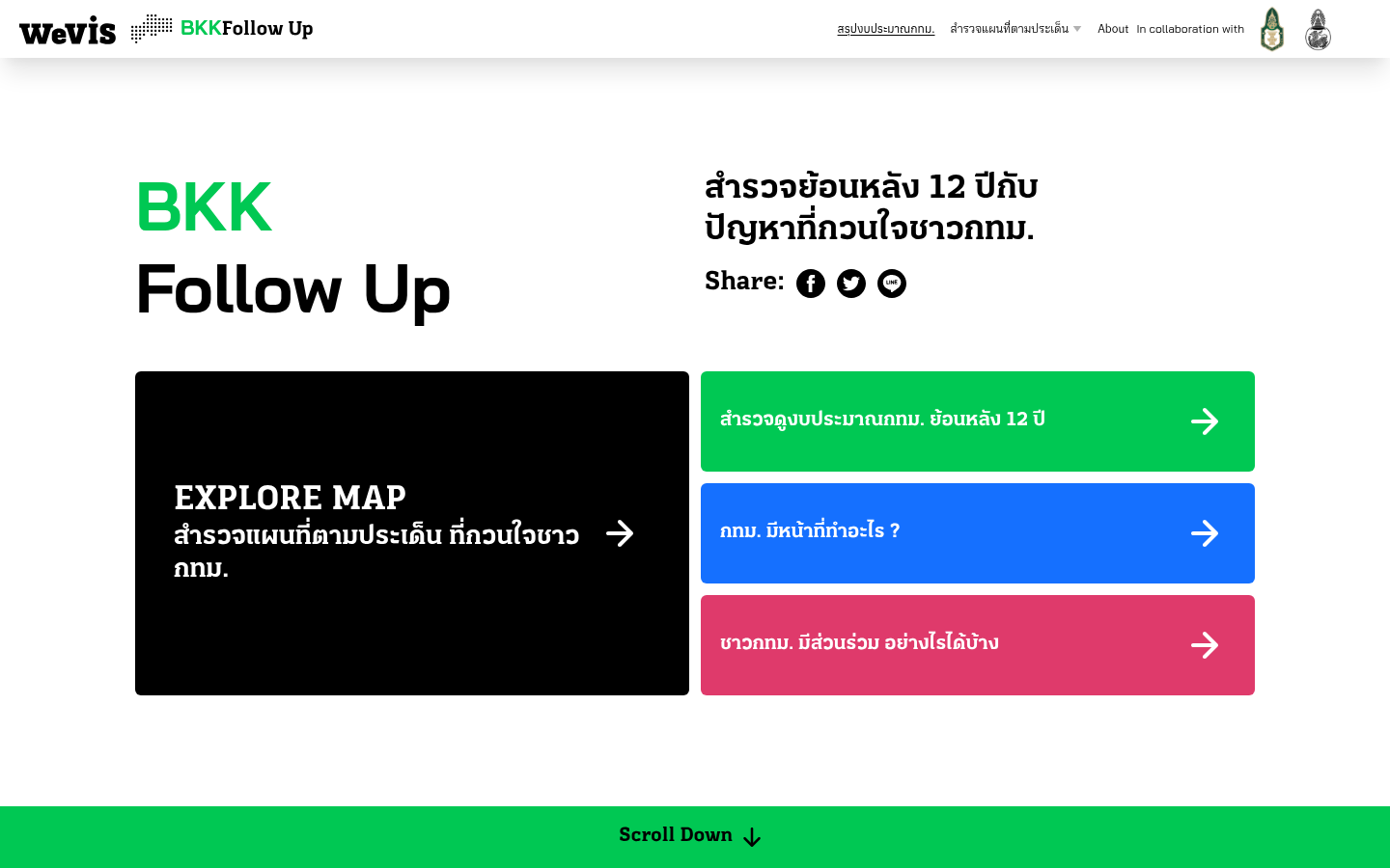
A 12-year retrospective of problems that have bothered Bangkok residents | สำรวจปัญหากวนใจชาว กทม.
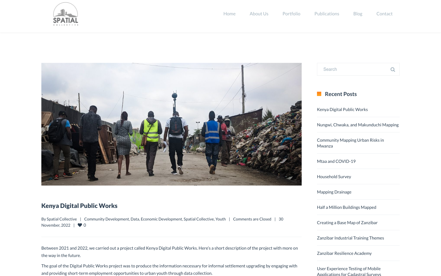
"DPW set out to answer a question: Can the youth use affordable and widely available technologies to gather the information necessary to support informal settlement upgrading?"