Civic Tech Field Guide
Donate

Directory / Satellites

Satellites

Explore 25 projects in the Satellites category of the Civic Tech Field Guide.

25 projects

Google Heat Resilience Tool

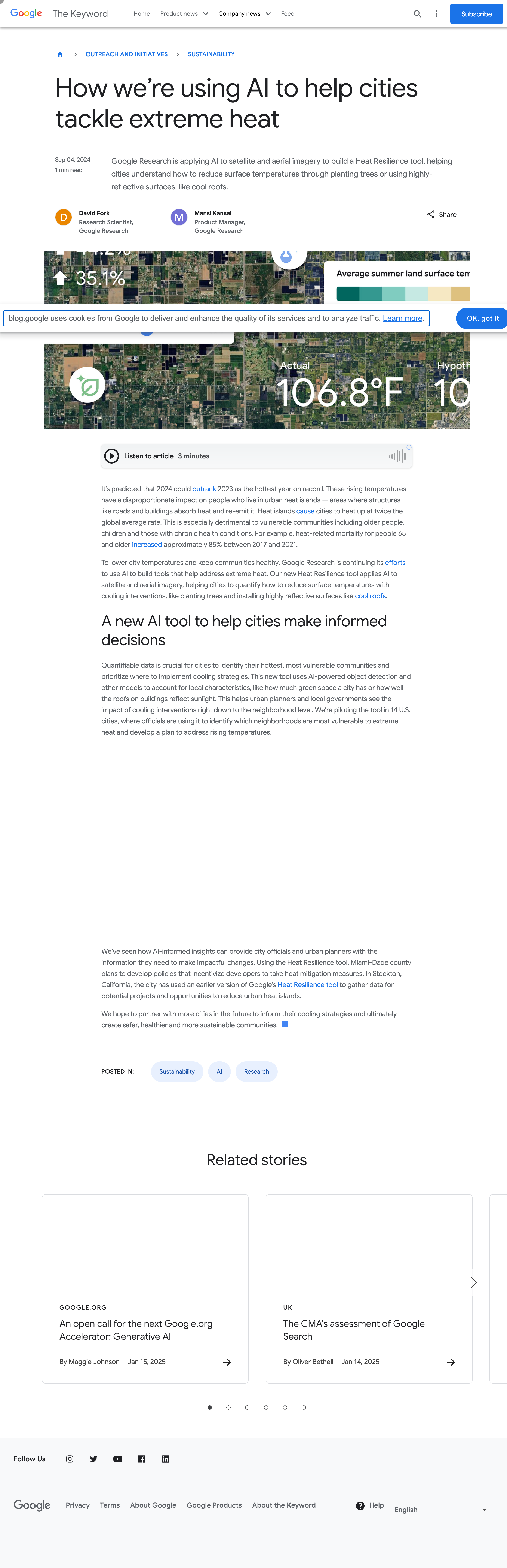
Google Research is applying AI to satellite and aerial imagery to build a Heat Resilience tool, helping cities understand how to reduce surface temperatures through planting trees or using highly-reflective surfaces, like cool roofs.

Mountain View, CA, USA
city, heat, Sustainable cities and communities, Google
Radiant Earth

Increasing shared understanding of our world through community-led initiatives that make data easier to access and use.

Washington, DC

NASA Space Apps Challenge

NASA is launching the Space Apps Challenge. A hackathon to encourage to encourage anyone with an interest in space and science to address real-world challenges.

2026

Climate TRACE

We use satellites, other remote sensing techniques, and artificial intelligence to deliver a detailed look at global emissions that gets even better over time.

Climate action

Google MethaneSAT partnership

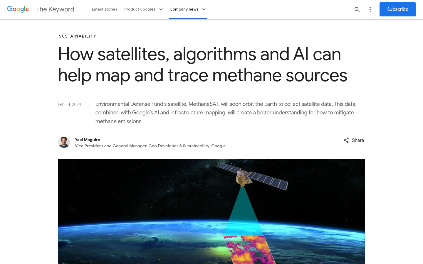
Just like how we use AI to detect sidewalks, street signs and road names in satellite imagery to display helpful information in Google Maps, weโ€™ll also use AI to identify oil and gas infrastructure, like oil storage containers, in our imagery. Then, weโ€™ll combine it with EDFโ€™s information about oil and gas infrastructure to locate where the emissions are coming from.

USA
2024
methane, Climate action, Google

Rapid

Rapid integrates advanced mapping tools, authoritative geospatial open data, and cutting-edge technology to empower OpenStreetMap mappers at all levels to get started quickly, making accurate and fresh edits to maps.

Clay

Clay is a nonprofit team on a mission to make Earth observation as useful and ubiquitous as a Google search. We believe in using open, responsible AI to make Earth observation a force for positive change.

Washington, DC
mining, Climate action, forests