Bomb blast
Experience the power of a nuclear blast in your area
2019

Explore 151 projects in the Mapping category of the Civic Tech Field Guide.
Experience the power of a nuclear blast in your area
See how cloud-based and on-premise civic engagement software creates a dynamic ecosystem between government agencies, citizens, developers and partners.
Helping communities use digital media, mapping, and open data tools for greater influence and representation in development and democracy.
The CUNY Mapping Service at CUR engages with foundations, government agencies, businesses, nonprofits, and other CUNY researchers to use spatial information and analysis techniques to develop and execute applied research projects.
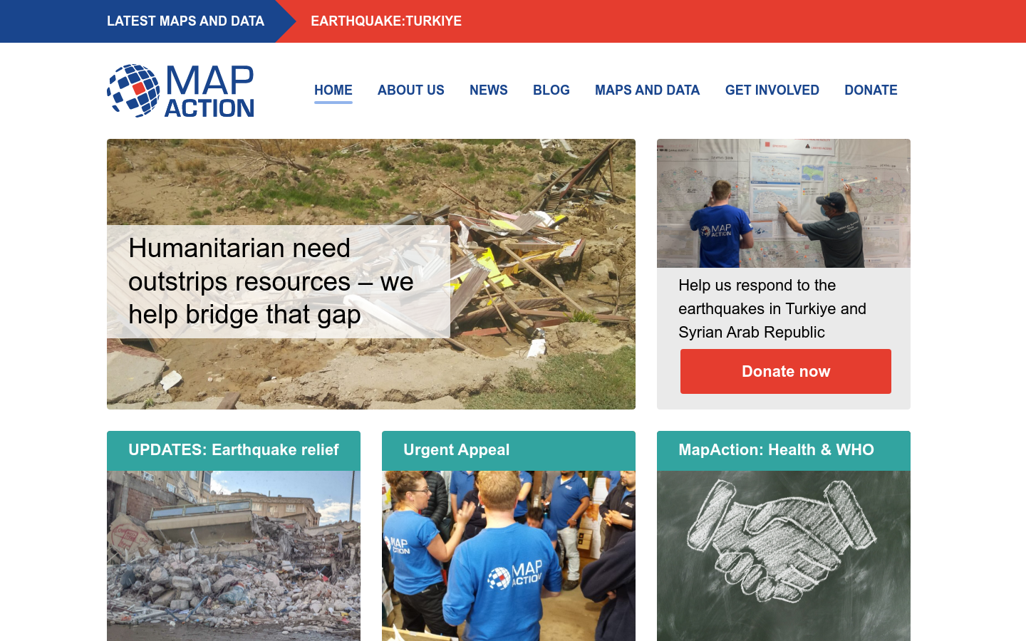
An emergency map publishing system that supports humanitarian workers in the field
With this mapathon, the UN Mappers community wants to join the efforts of the NGO Yer Çizenler and the OpenStreetMap community to map buildings and roads in the area.
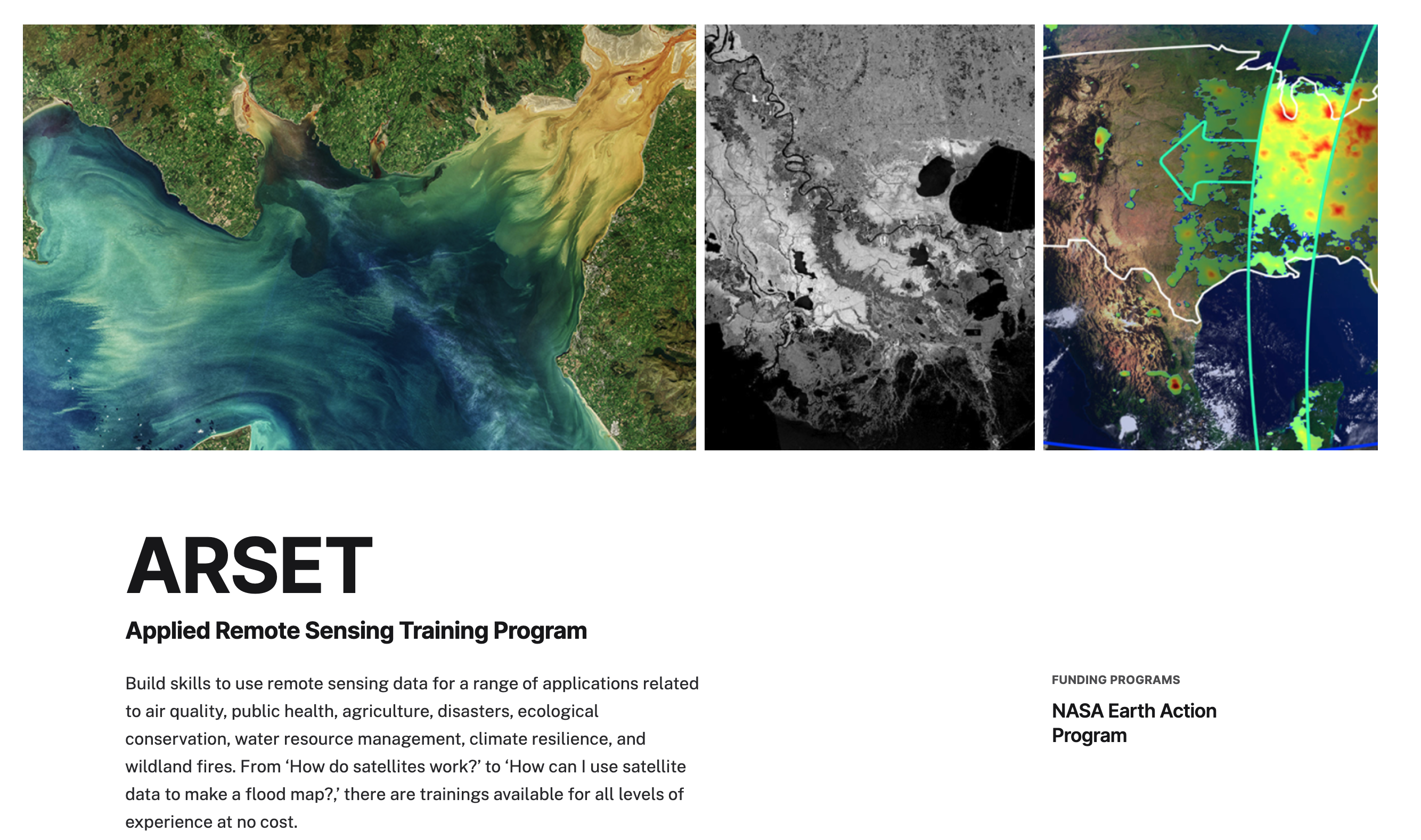
ARSET offers satellite remote sensing training that builds the capacity of organizations to use NASA Earth science data in their decision-making.
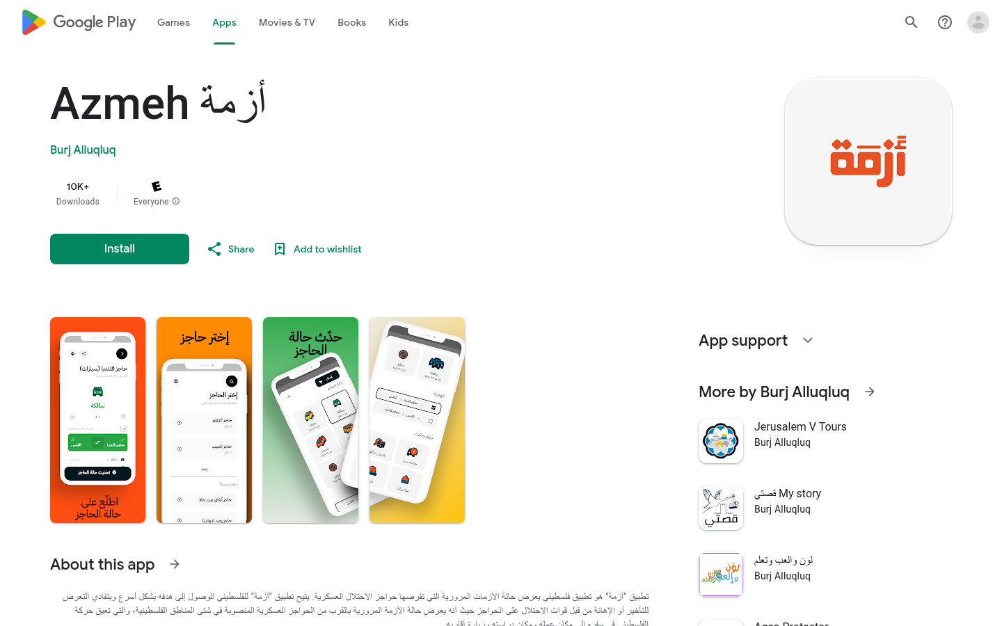
تطبیق "أزمة" ھو تطبیق فلسطیني يعرض حالة الأزمات المرورية التي تفرضھا حواجز الاحتلال
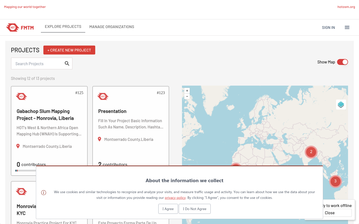
FIeldTM allows for coordinating field mapping activities in Open Mapping campaigns. While there are existing field mapping applications, there is a lack of efficient tools to coordinate these activities. The FMTM builds on the HOT Tasking Manager and other mapping applications to provide a more streamlined and organized process for completing field mapping tasks.