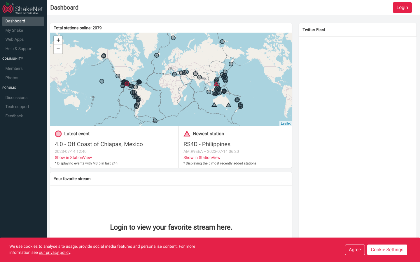
Mboalab
A biotech makerspace located in a rural community.
Cameroon
2020

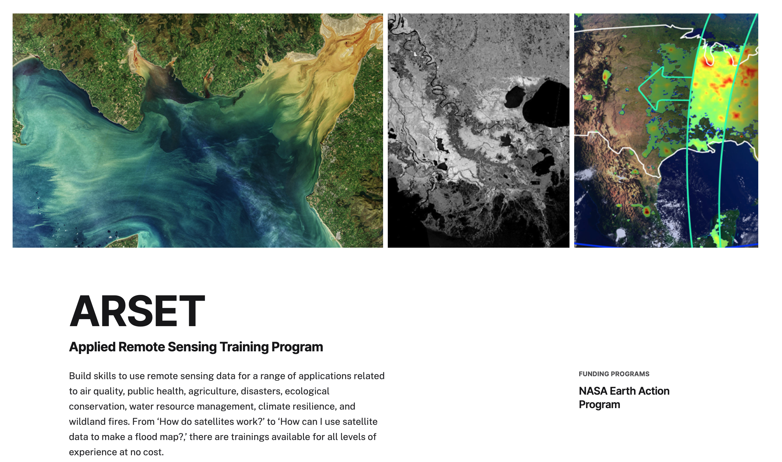
ARSET offers satellite remote sensing training that builds the capacity of organizations to use NASA Earth science data in their decision-making.
NASA's Applied Remote Sensing Training Program (ARSET) offers satellite remote sensing training that builds the capacity of organizations worldwide to integrate NASA Earth science data into environmental management and decision-making. ARSET provides introductory and advanced webinars and in-person trainings on topics including air quality, climate, disaster management, land use, and water resources. The program is designed to reach a broad audience including scientists, researchers, and professionals in government agencies, non-profit organizations, and international institutions.
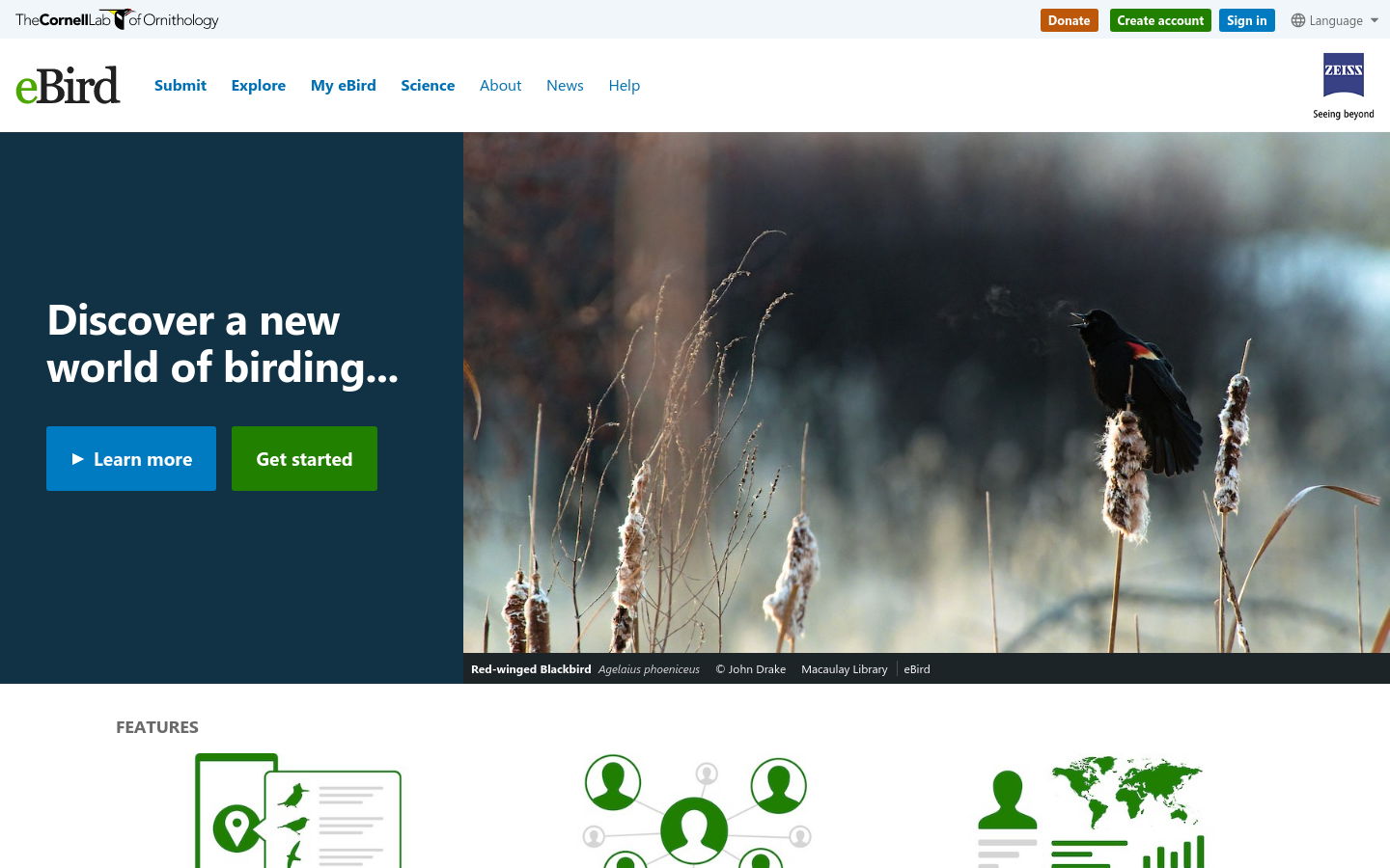
eBird transforms your bird sightings into science and conservation. Plan trips, find birds, track your lists, explore range maps and bird migration—all free.
The River Thames Water Quality Testing Group is operated by volunteers who enjoy wild swimming, paddle-boarding and boating, and are concerned about the water quality in the River Thames and the lack of up-to-date information.
The Centre for Collective Intelligence Design will explore how human and machine intelligence can be combined to make the most of our collective knowledge and develop innovative and effective solutions to social challenges.