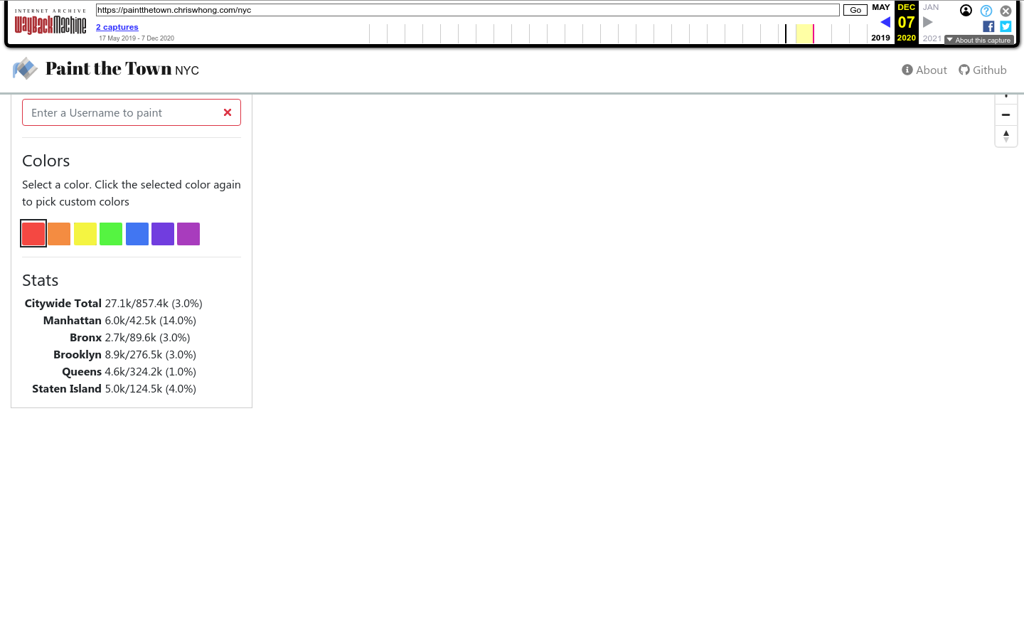
Paint the Town
Paint the Town is a collaborative data art project. It allows anyone to paint a New York City tax lot to any color they choose.
New York City
2019
city, Sustainable cities and communities

Explore 151 projects in the Mapping category of the Civic Tech Field Guide.
Paint the Town is a collaborative data art project. It allows anyone to paint a New York City tax lot to any color they choose.
GAMA is an easy-to-use open source modeling and simulation environment for creating spatially explicit agent-based simulations.
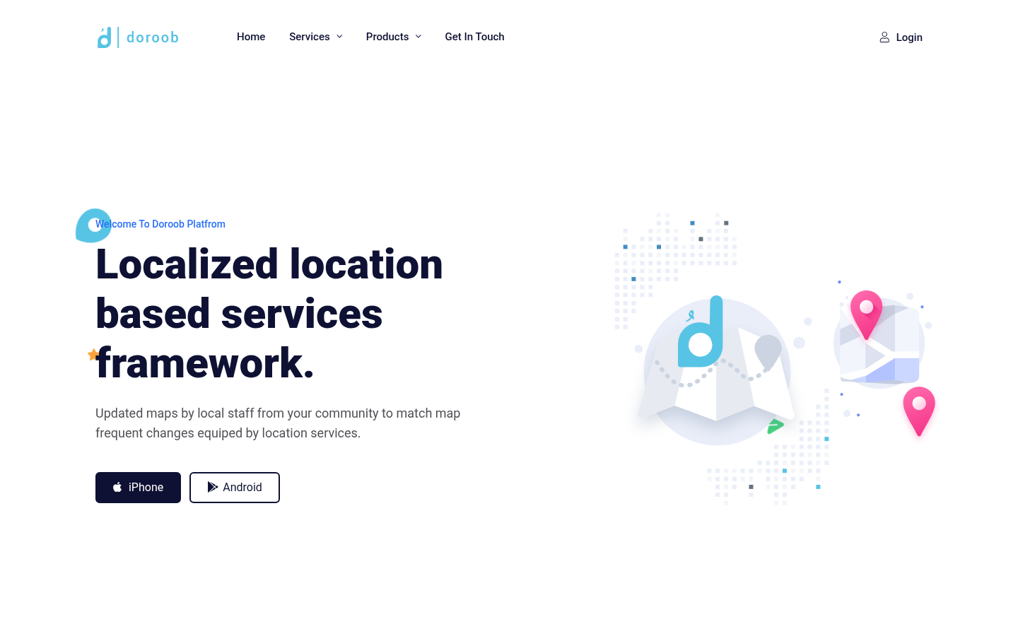
Updated maps by local staff from your community to match map frequent changes equiped by location services.
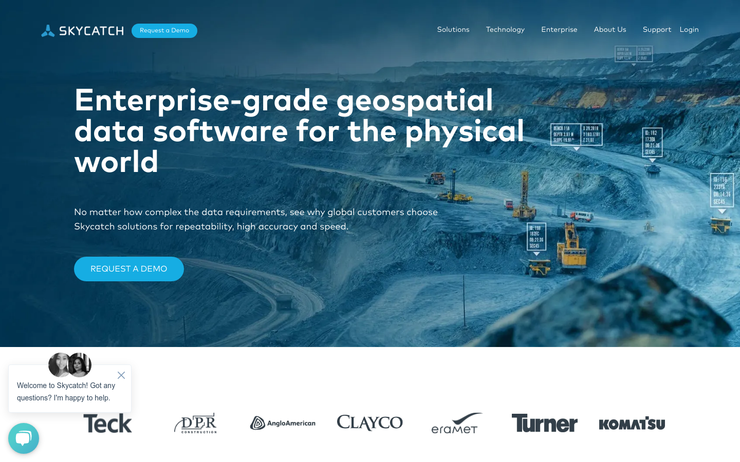
Drone maps and 3D models processed in the cloud for construction, mining, energy, & more.
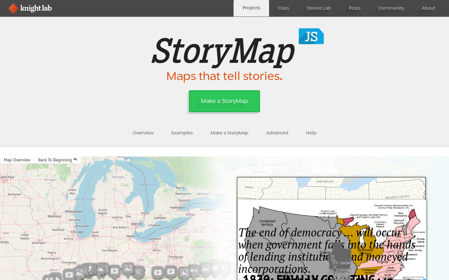
StoryMapJS is a free tool to help you tell stories on the web that highlight the locations of a series of events. Tells a story based on a series of singular point locations.
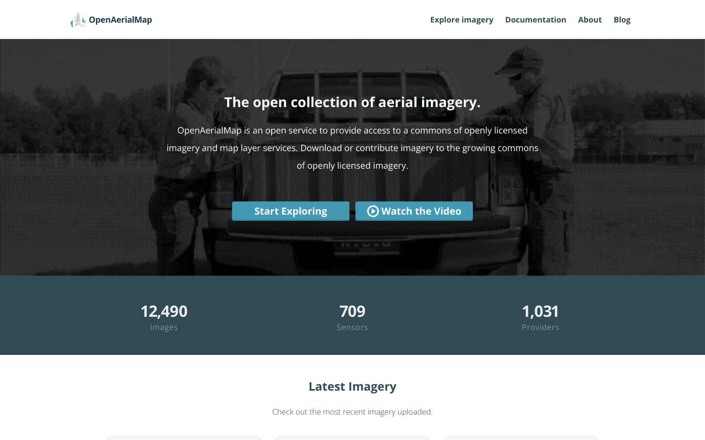
OpenAerialMap is an open service to provide access to a commons of openly licensed imagery and map layer services. Download or contribute imagery to the growing commons of openly licensed imagery. Start Exploring
This story map was created with the Story Map Series application in ArcGIS Online.
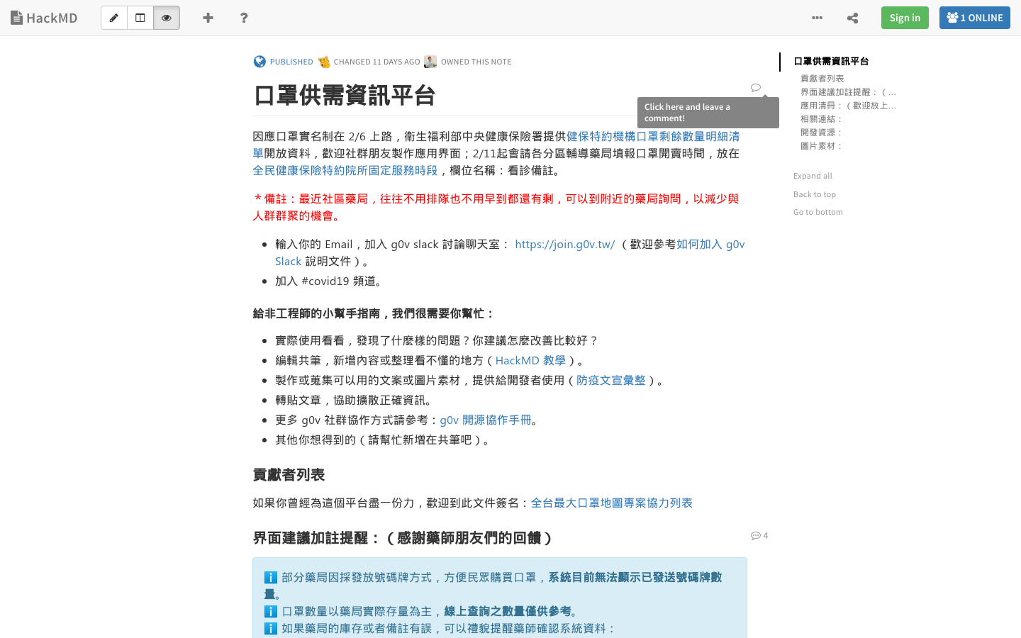
Maps and inventory status of masks to help reduce the spread of Coronavirus in Taiwan
Allmaps makes it easier and more inspiring to curate, georeference and explore collections of digitized maps.