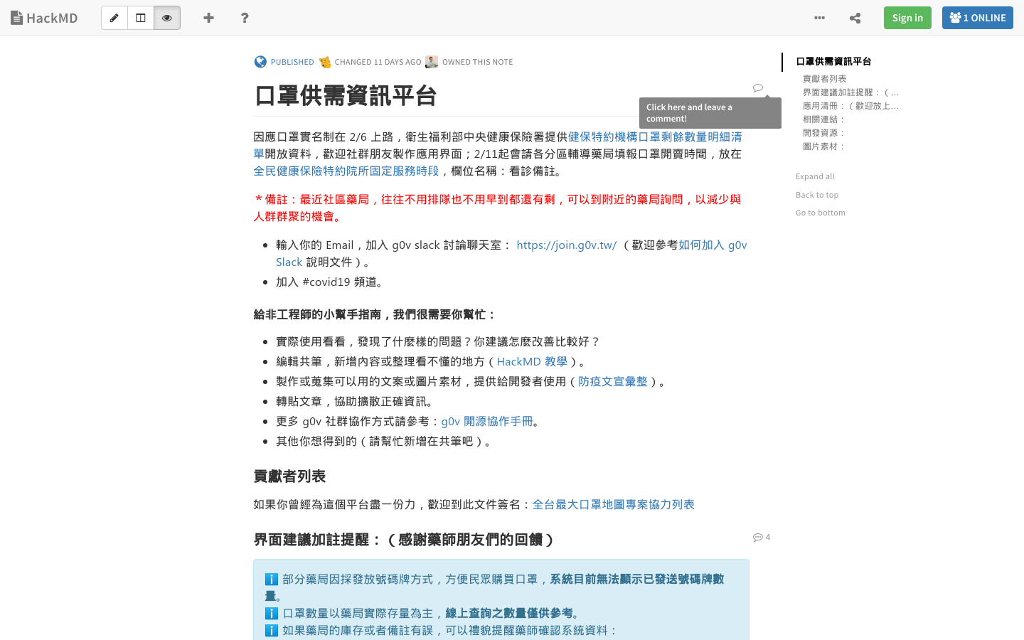
Mask supply and demand information platform
Maps and inventory status of masks to help reduce the spread of Coronavirus in Taiwan
Taiwan
COVID-19, health, Good health and well-being

Explore 215 projects in the Data Visualization category of the Civic Tech Field Guide.
Maps and inventory status of masks to help reduce the spread of Coronavirus in Taiwan
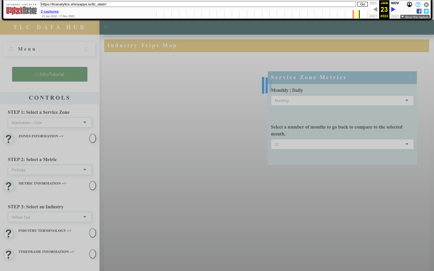
TLC Data Hub offers users a new and convenient location to access and visualize taxi and for hire industry data.
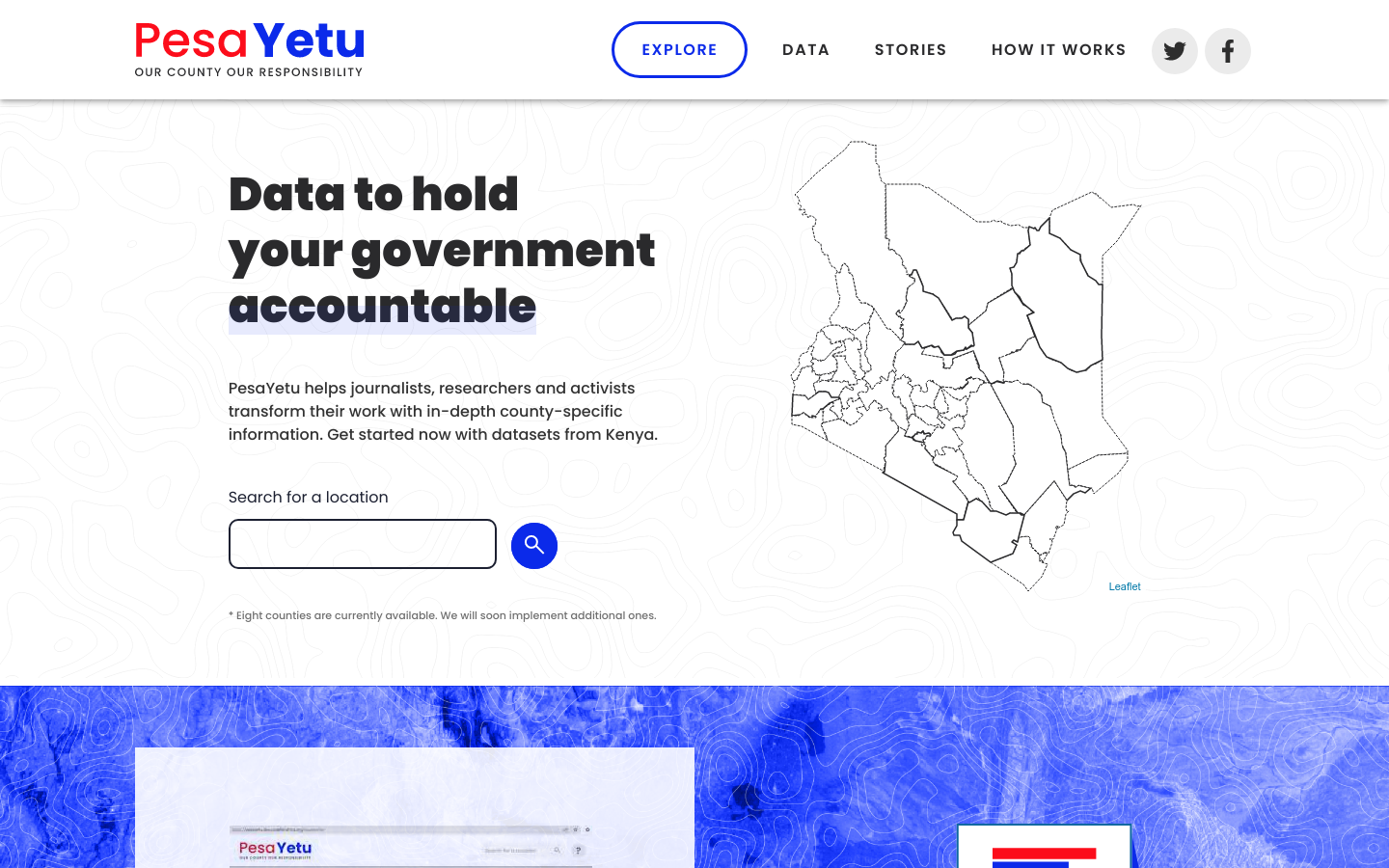
PesaYetu helps journalists, researchers and activists transform their work with in-depth county-specific information.
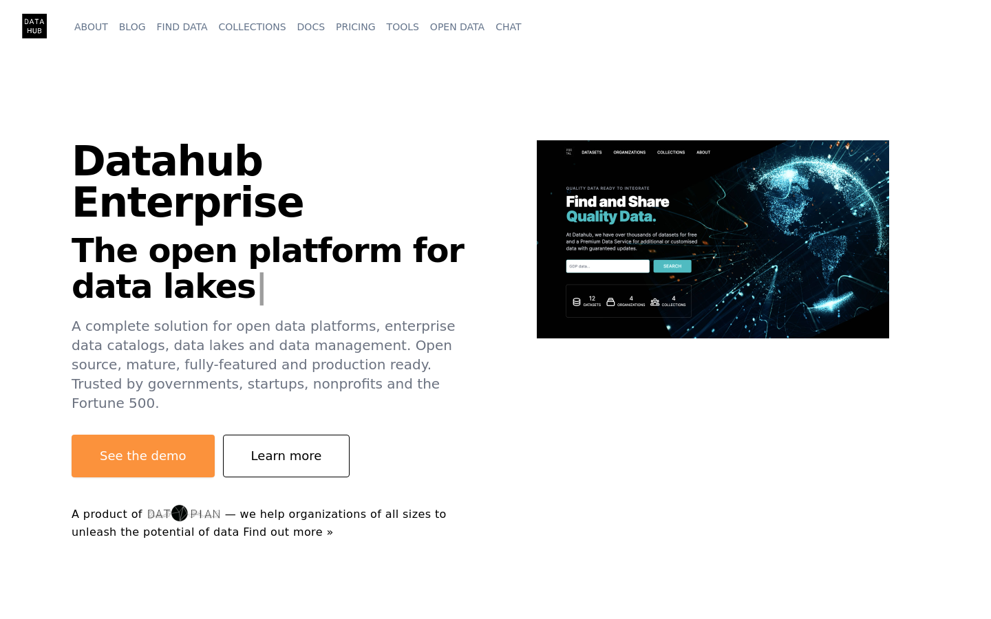
Find, Share and Publish Quality Data Online. The fastest way for individuals, teams and organizations to publish, deploy and share their data.

Experience the power of a nuclear blast in your area

See how cloud-based and on-premise civic engagement software creates a dynamic ecosystem between government agencies, citizens, developers and partners.
Helping communities use digital media, mapping, and open data tools for greater influence and representation in development and democracy.
The CUNY Mapping Service at CUR engages with foundations, government agencies, businesses, nonprofits, and other CUNY researchers to use spatial information and analysis techniques to develop and execute applied research projects.
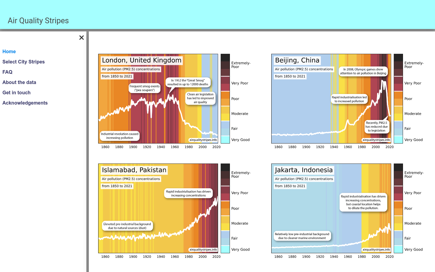
Data visualization plots showing the changing trends in outdoor concentrations of particulate matter (PM2.5) air pollution from 1850 to 2021 in cities around the world