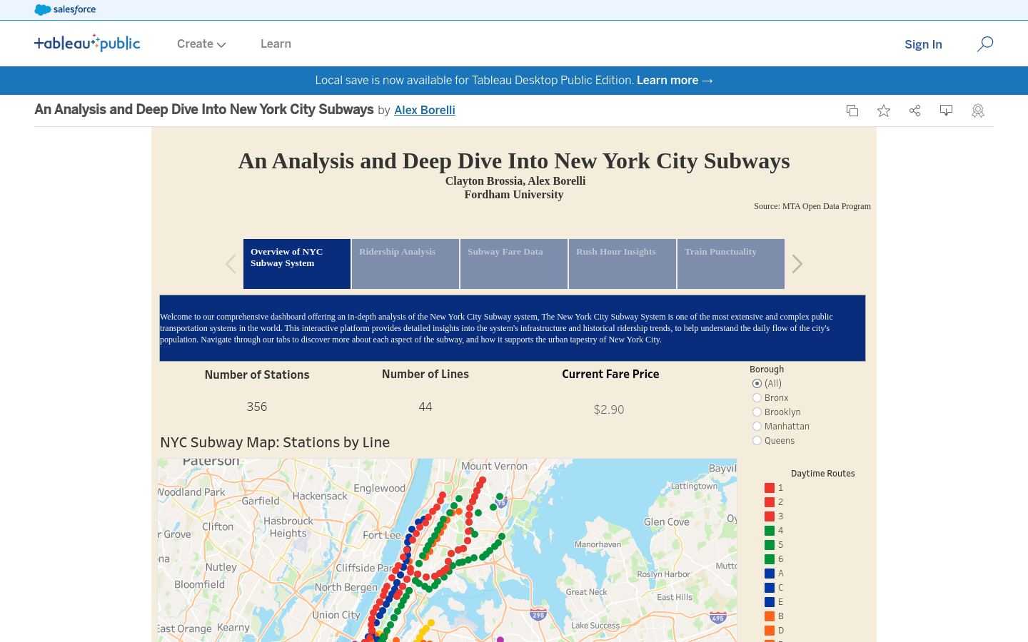
An Analysis and Deep Dive Into New York City Subways
A Tableau data visualization and analysis of public transit in NYC
New York City
2024
mass transit

Explore 215 projects in the Data Visualization category of the Civic Tech Field Guide.
A Tableau data visualization and analysis of public transit in NYC
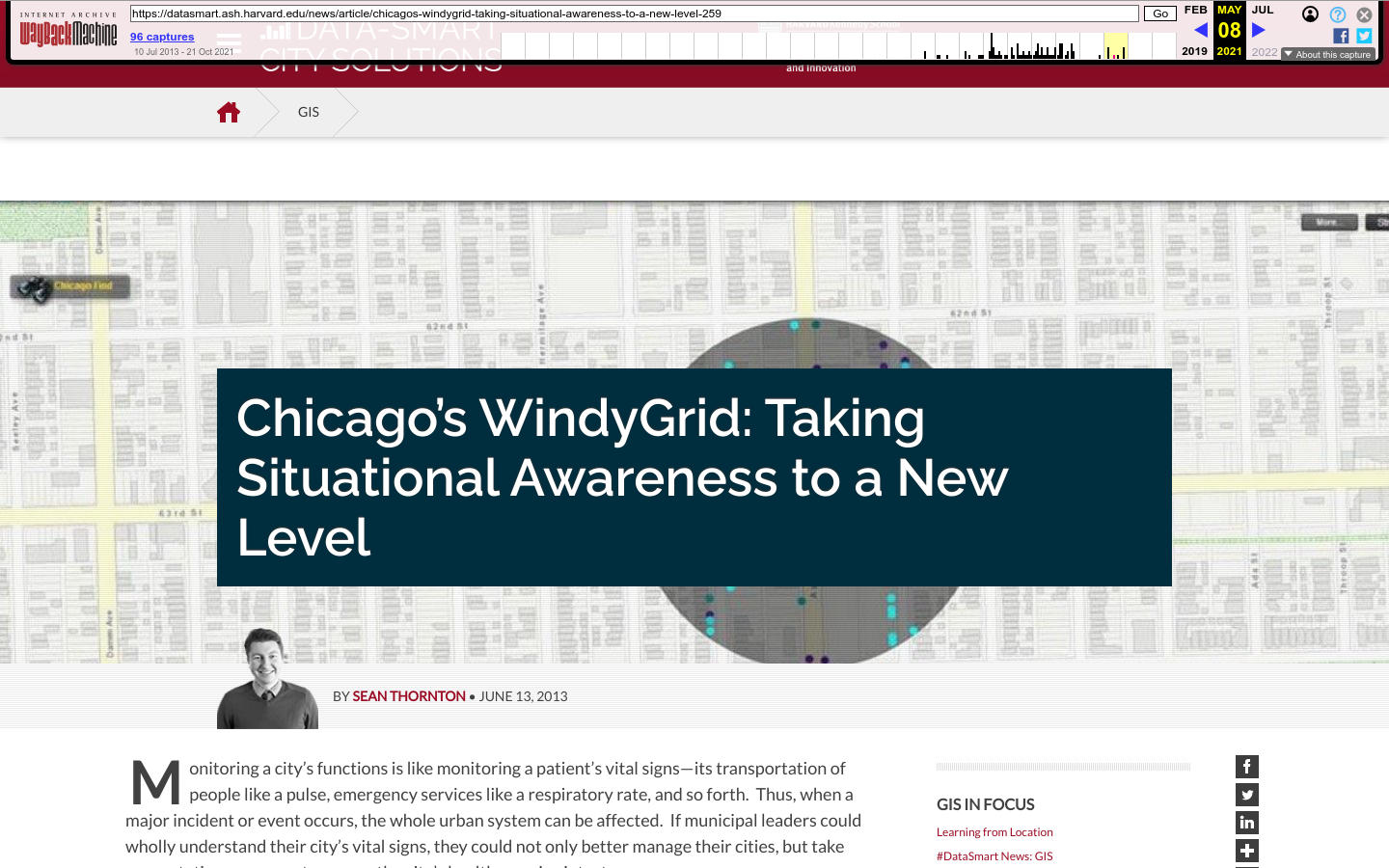
WindyGrid is a computer application, designed for City personnel, that makes Chicago’s big data easily and strategically accessible in one place.
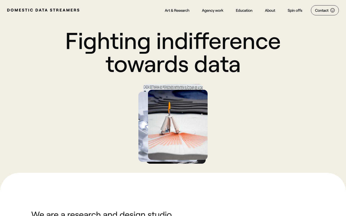
We are a research and design studio partnering up with organisations to build change through data, community, and arts.
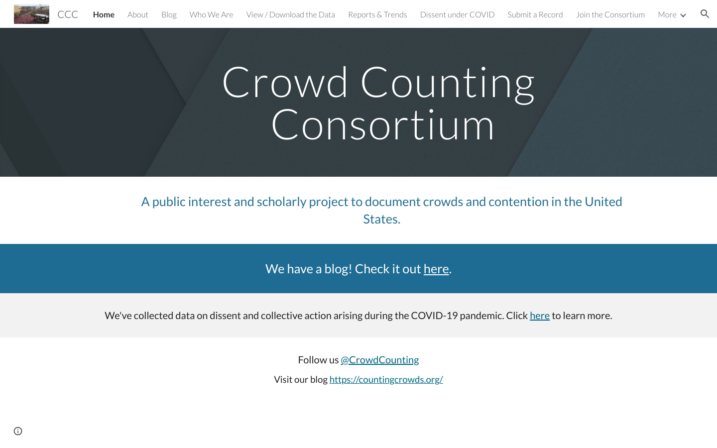
A public interest project to document crowds and contention in the United States.
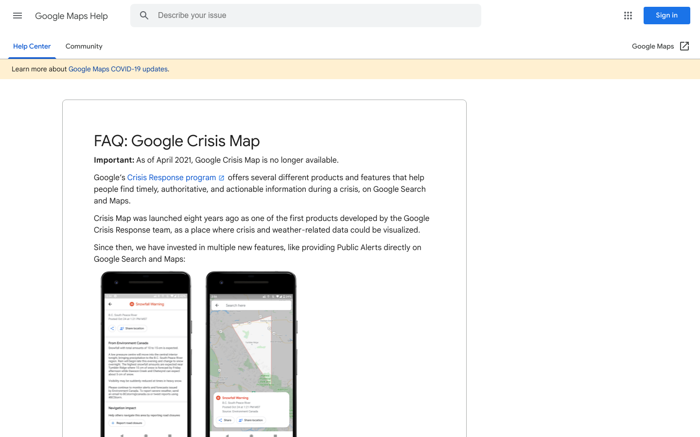
A collection of national and regional-scale layers related to weather, hazards, and emergency preparedness and response, mostly for the US.

Foundation Funding for U.S. Democracy is a data visualization platform featuring tens of thousands of grants, available to anyone interested in understanding philanthropy's role in U.S. democracy
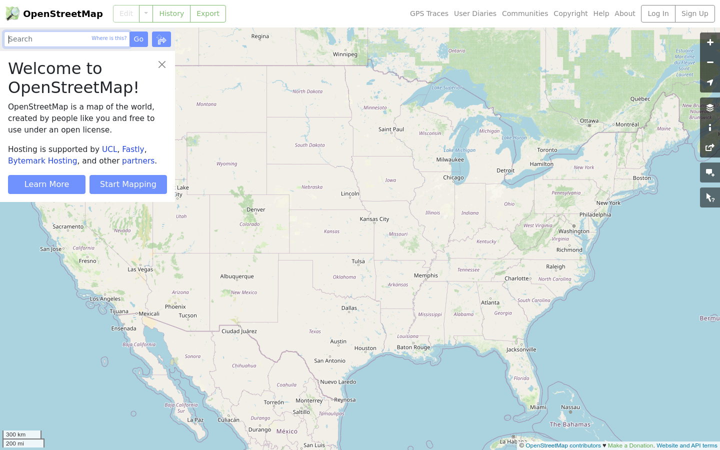
OpenStreetMap is the free wiki world map.
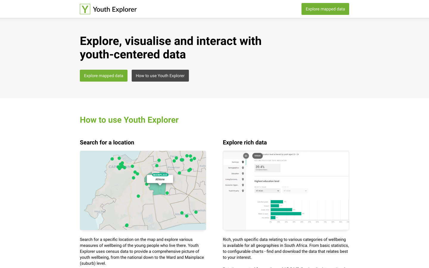
Explore, visualise and interact with youth-centered data
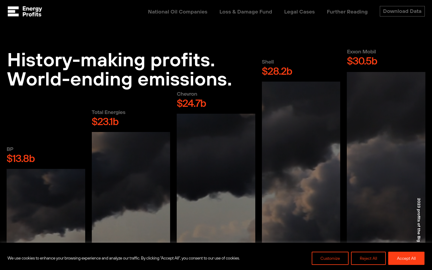
History-making profits. World-ending emissions.