
POPVOX Foundation
POPVOX Foundation works to inform and empower people and make government work better for everyone.
USA

Governments across the globe are on their way to building national-scale digital infrastructure. A comprehensive view of the state of DPI, however, is missing. The DPI Map addresses this.
The DPI Map is a comprehensive initiative that aims to provide a global view of the state of digital public infrastructure (DPI), including the deployment of digital ID, real-time payment, and data exchange systems across the world. The project collects and analyzes data to inform governments, researchers, and DPI implementers about the progress and challenges in building national-scale digital infrastructure.
Parent organization: UCL Institute for Innovation and Public Purpose
POPVOX Foundation works to inform and empower people and make government work better for everyone.
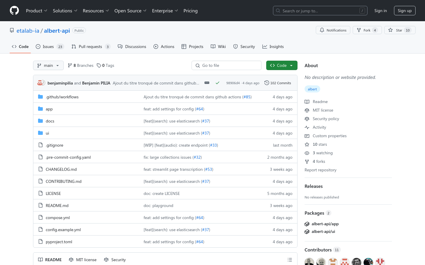
Starting in 2024, Albert will be tested at local public service counters — Maisons France services — to help users with their paperwork.

Open source financial management software for organizations (Die Finanzverwaltungssoftware)