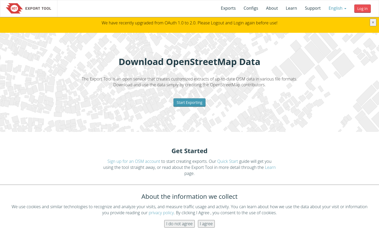
HOT Export Tool
The Export Tool is an open service that creates customized extracts of up-to-date OSM data in various file formats.

Explore 83 projects in the Mapping Tools category of the Civic Tech Field Guide.
The Export Tool is an open service that creates customized extracts of up-to-date OSM data in various file formats.

ForestMate is an open-source hiking safety companion for Korea that combines forest public data, real-time risk scoring, offline fallbacks, SOS workflows, and a k-anonymized public-agency monitoring dashboard.
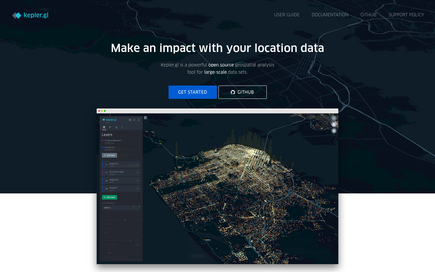
Kepler.gl is a powerful open source geospatial analysis tool for large-scale data sets.
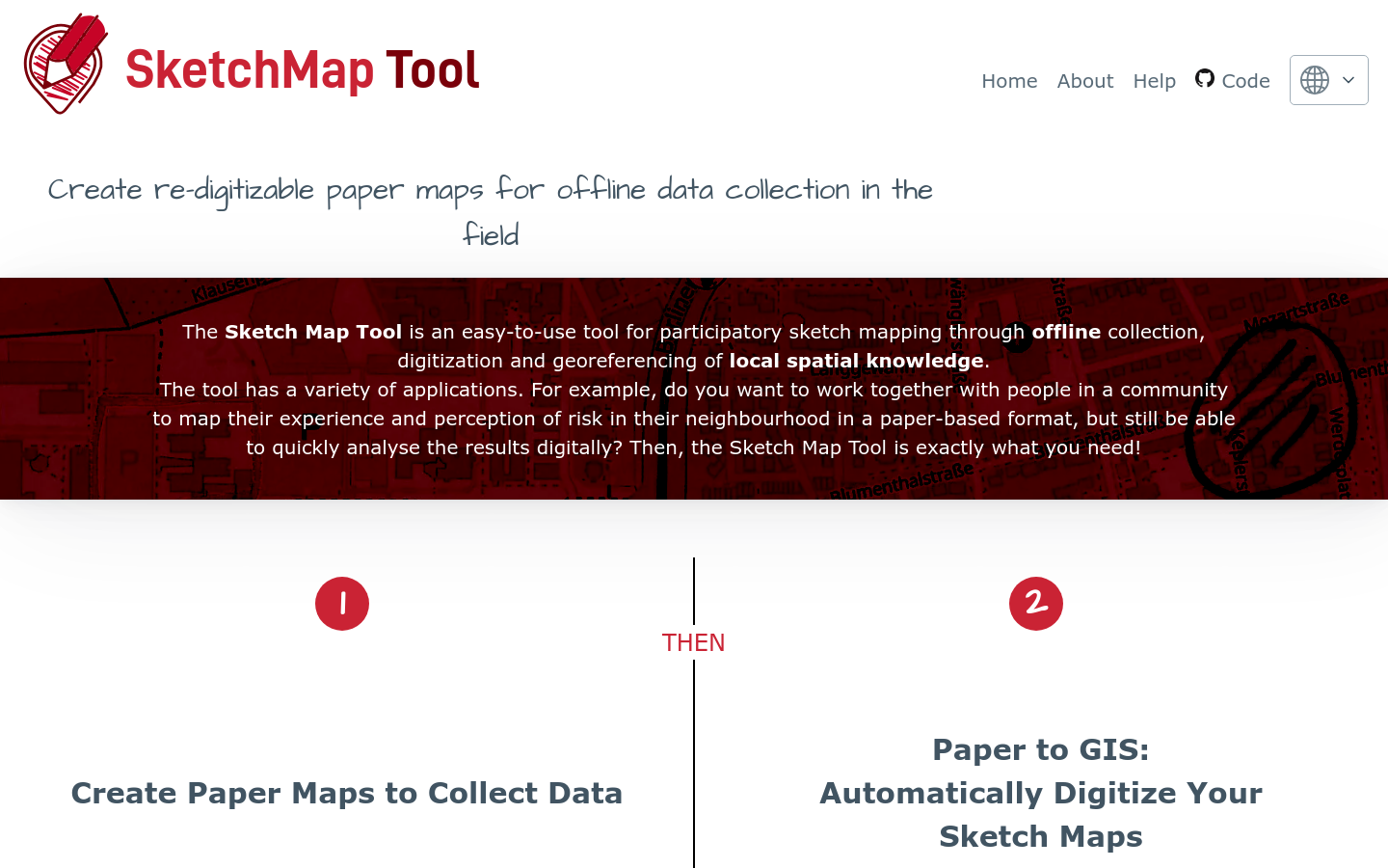
The Sketch Map Tool is an easy-to-use tool for participatory sketch mapping through offline collection, digitization and georeferencing of local spatial knowledge. The tool has a variety of applications. For example, do you want to work together with people in a community to map their experience and perception of risk in their neighbourhood in a paper-based format, but still be able to quickly analyse the results digitally? Then, the Sketch Map Tool is exactly what you need!
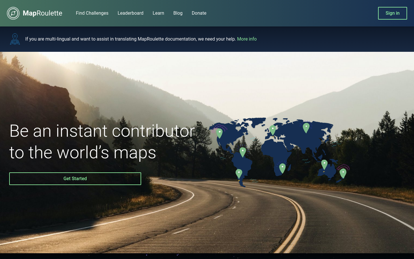
MapRoulette has dozens of mapping Challenges that are created by experienced mappers. Each Challenge is about improving OSM in one very specific way

The free and open global address collection
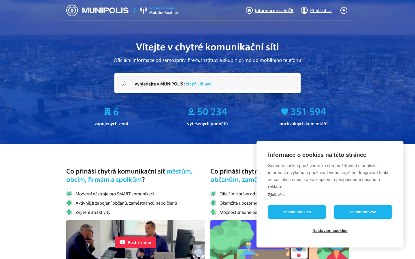
All-in-one resident engagement suite in Czechia
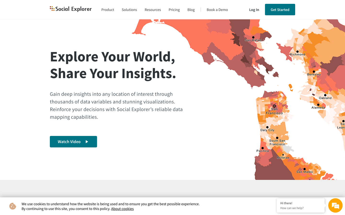
Gain deep insights into any location of interest through thousands of data variables and stunning visualizations. Reinforce your decisions with Social Explorer’s reliable data mapping capabilities. Watch Videoplay_arrow
A tool designed to strengthen the digital infrastructure of public transportation in Mexico and Latin America. With this open-access editor, agencies can generate and manage their GTFS data with full autonomy.