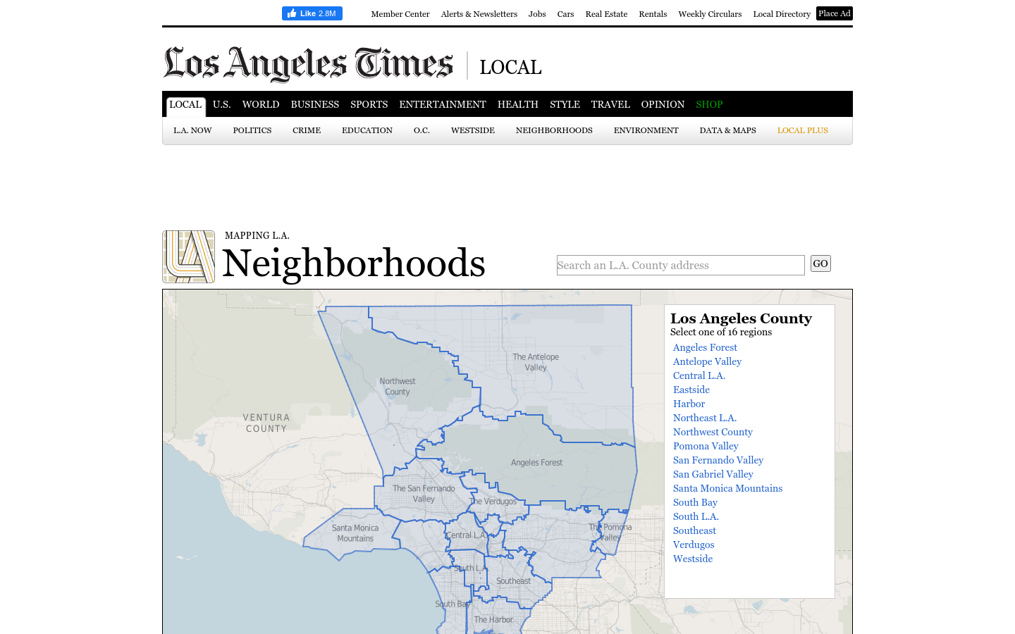
Mapping LA
This regional view is your portal to individual maps and statistics for 158 cities and unincorporated places and 114 neighborhoods within the city of Los Angeles.
Los Angeles, CA
2019

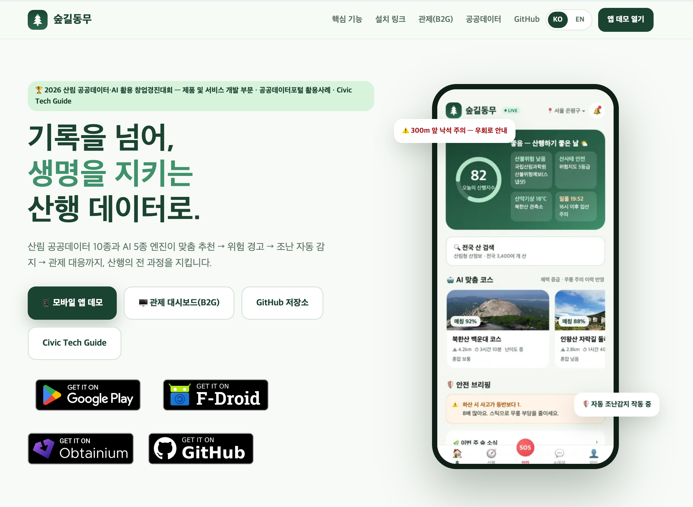
ForestMate is an open-source hiking safety companion for Korea that combines forest public data, real-time risk scoring, offline fallbacks, SOS workflows, and a k-anonymized public-agency monitoring dashboard.
ForestMate (숲길동무) is an open-source hiking safety service for South Korea. It combines public forest, trail, weather, forest-fire, landslide, and location data with local fallback logic and AI-assisted guidance so hikers can choose safer routes, understand current risk, and respond when a hike becomes unsafe. Core components include: - a mobile-first PWA plus Android TWA/APK packaging; - a nationwide mountain catalog based on roughly 4,600 Korea Forest Service mountain records; - real trail-map coverage for roughly 2,200 mountains and 50,000 trail segments, rendered with Leaflet and difficulty-colored routes; - a real-time hiking index that combines Korea Meteorological Administration forecasts, National Institute of Forest Science forest-fire risk, landslide risk, weather, and sunset timing; - GPS hike tracking, safety status, and SOS workflows with local/offline fallback behavior when live APIs or connectivity are unavailable; - an AI companion for route/risk Q&A and nature-identification demos, with rule-based behavior by default and LLM/RAG support when a deployment operator provides keys; - a B2G monitoring dashboard with real-time KPIs, WebSocket updates, and k-anonymized risk heatmaps instead of precise individual location or health traces. The repository is Apache-2.0 licensed and includes CI, tests, CodeQL, OpenSSF Scorecard, Dependabot, REUSE/license metadata, security disclosure guidance, and deployment documentation. The civic value is practical mountain safety: hikers get clearer pre-trip and on-trail risk signals, while public agencies can inspect aggregate safety patterns without exposing personal tracks.
This regional view is your portal to individual maps and statistics for 158 cities and unincorporated places and 114 neighborhoods within the city of Los Angeles.
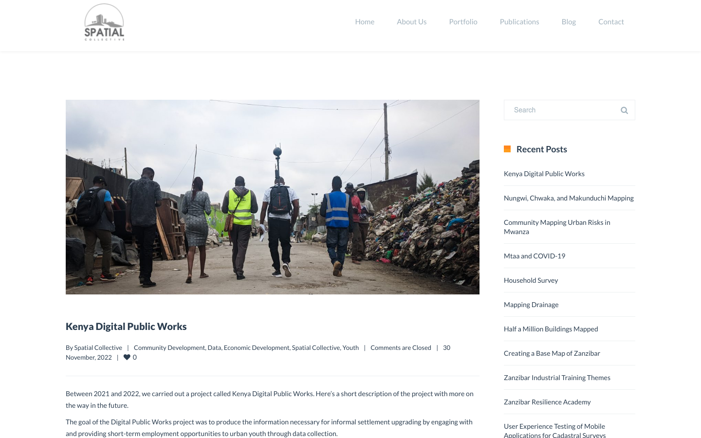
"DPW set out to answer a question: Can the youth use affordable and widely available technologies to gather the information necessary to support informal settlement upgrading?"
Fogo Cruzado (Cross-fire) is a laboratory of data on armed violence that aggregates and makes data and information available through an application for mobile technology combined with a database
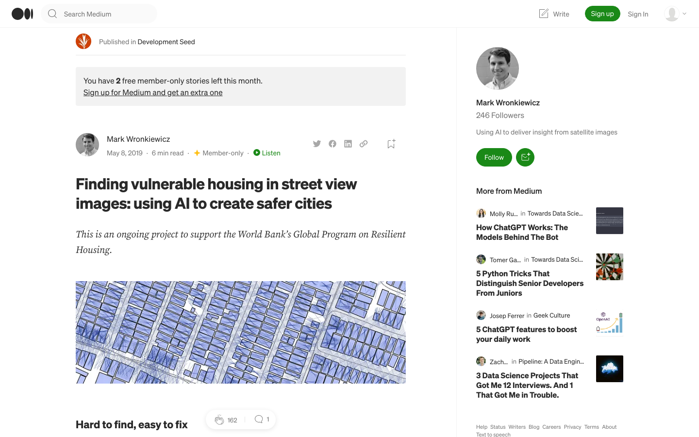
Development Seed is supporting the World Bank to identify dangerous housing in Colombia through the use of artificial intelligence.