GAMA Platform
GAMA is an easy-to-use open source modeling and simulation environment for creating spatially explicit agent-based simulations.
mobility

Explore 83 projects in the Mapping Tools category of the Civic Tech Field Guide.
GAMA is an easy-to-use open source modeling and simulation environment for creating spatially explicit agent-based simulations.
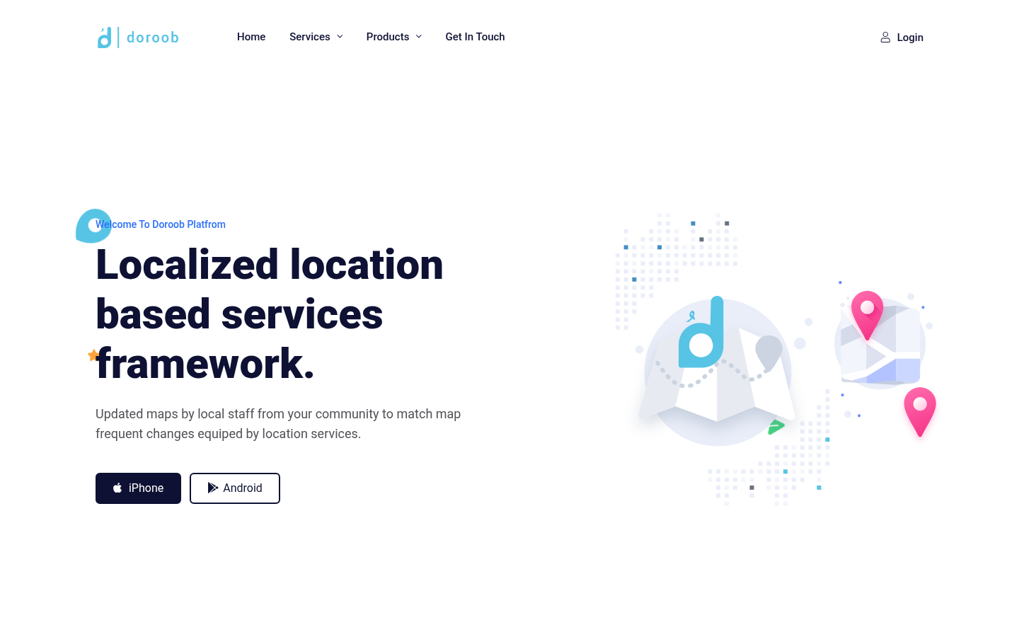
Updated maps by local staff from your community to match map frequent changes equiped by location services.
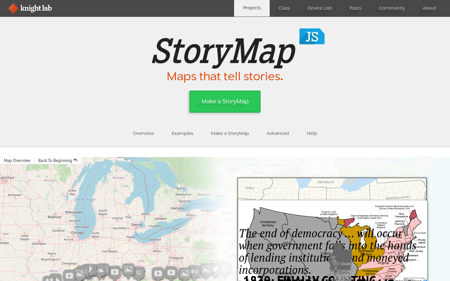
StoryMapJS is a free tool to help you tell stories on the web that highlight the locations of a series of events. Tells a story based on a series of singular point locations.
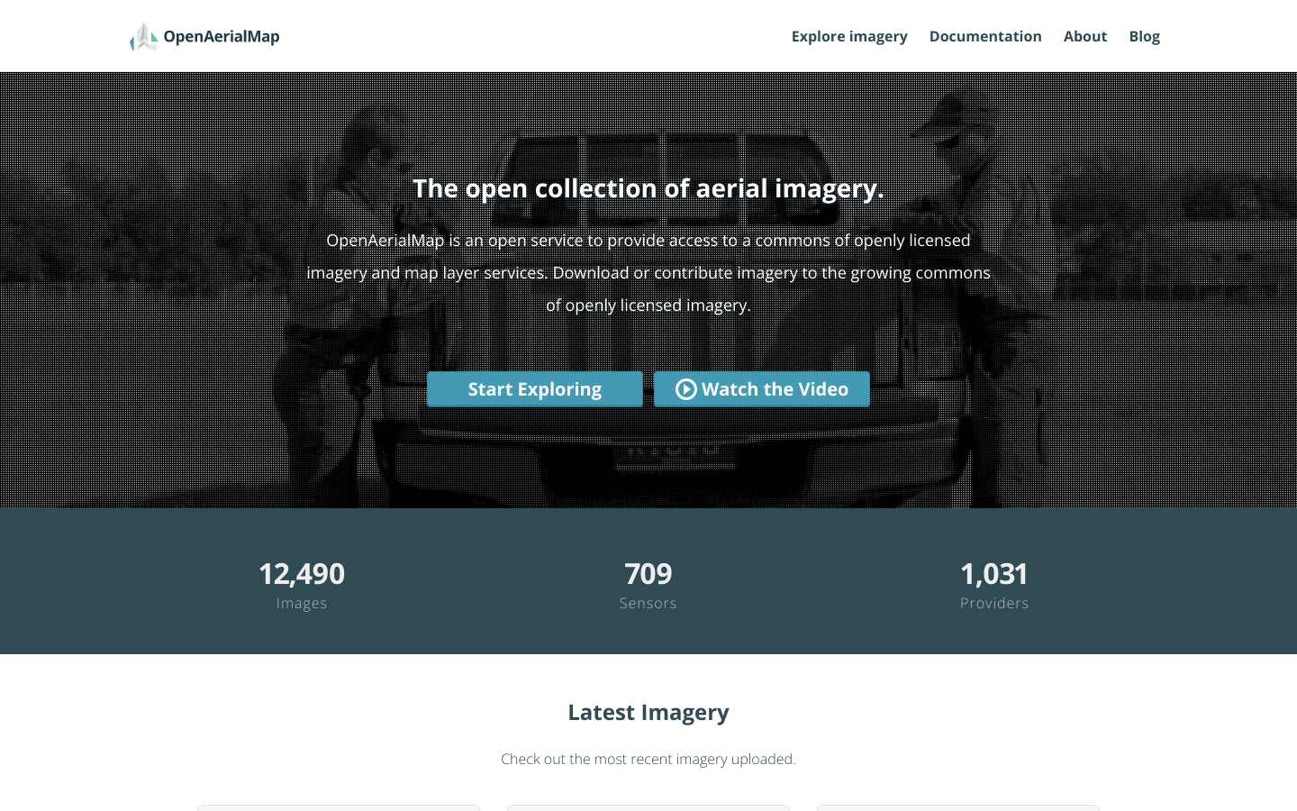
OpenAerialMap is an open service to provide access to a commons of openly licensed imagery and map layer services. Download or contribute imagery to the growing commons of openly licensed imagery. Start Exploring
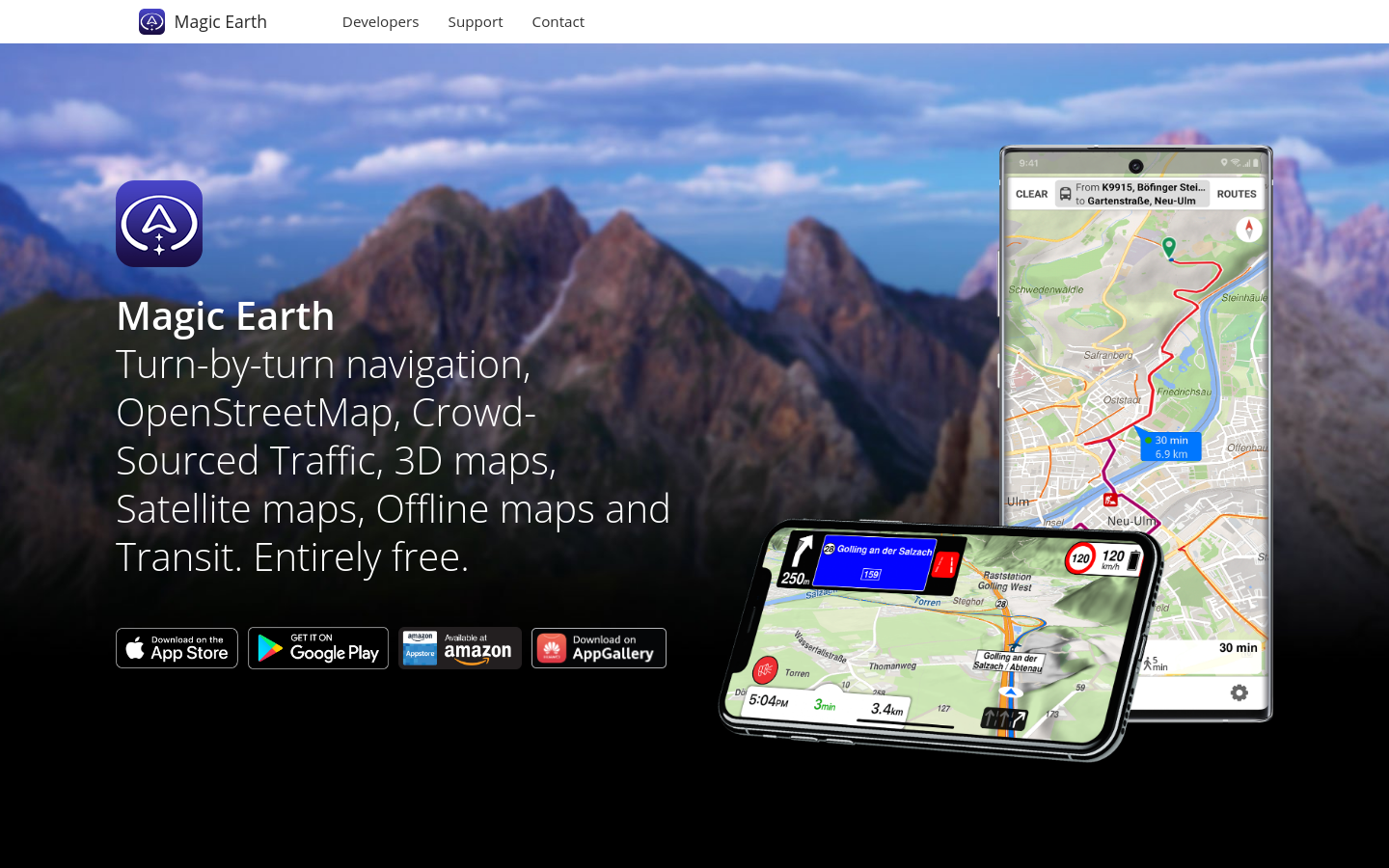
Turn-by-turn navigation, OpenStreetMap, Crowd-Sourced Traffic, 3D maps, Satellite maps, Offline maps and Transit. Entirely free.
Mark and find wheelchair accessible places — worldwide and for free. Wheelmap is the map for wheelchair accessible places

Allmaps makes it easier and more inspiring to curate, georeference and explore collections of digitized maps.
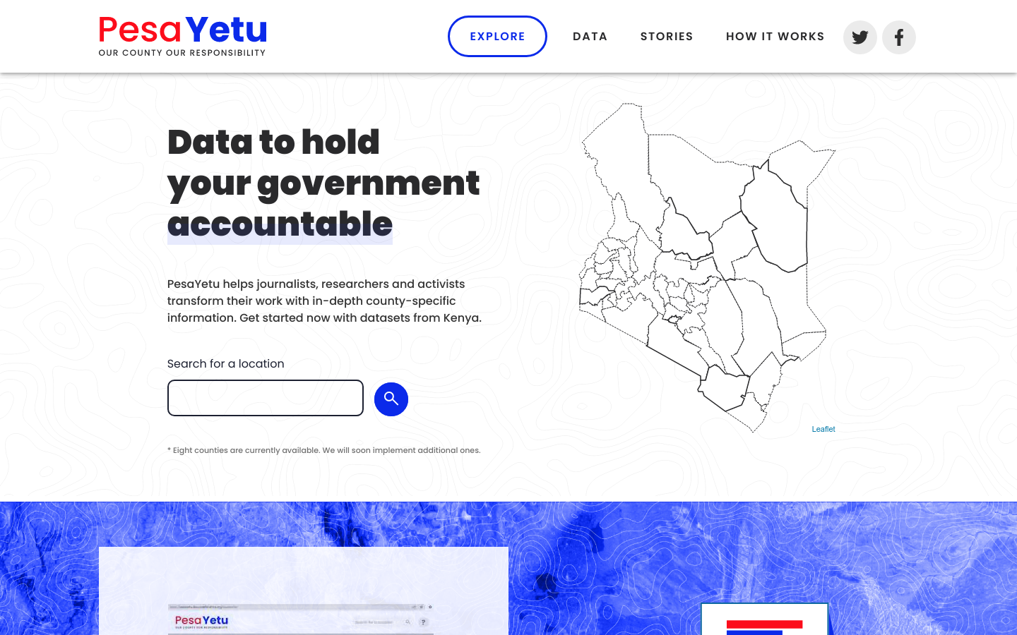
PesaYetu helps journalists, researchers and activists transform their work with in-depth county-specific information.
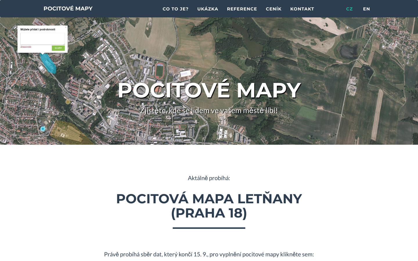
Map-based surveys with sentiment visualization