National Transportation Noise Map
USA
2017
United States (federal government)

Explore 215 projects in the Data Visualization category of the Civic Tech Field Guide.

Communalytic is a no-code computational social science research tool for studying online communities and public discourse on social media

Supporting the transformation of cities towards a more sustainable mobility through data analysis and digital communication.
Diese Seite wird nicht länger aktiv betreut oder gewartet.
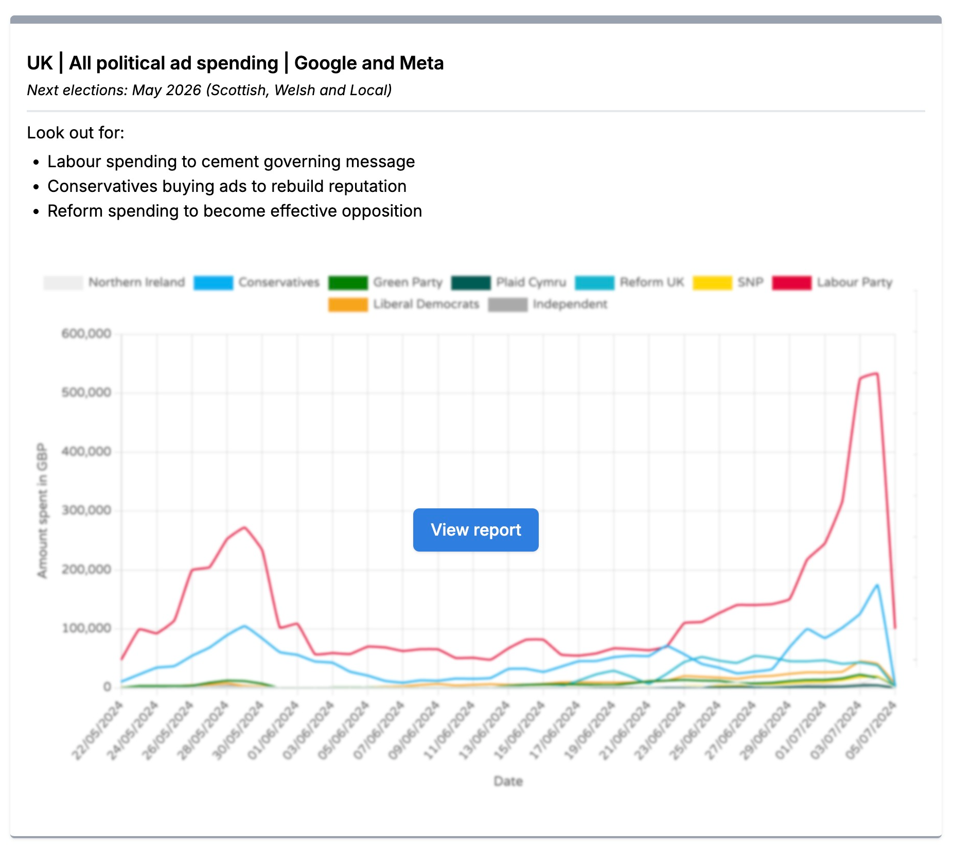
Trends from Who Targets Me makes navigating and understanding digital political advertising data easier. It operates in over 60 countries, covering 150,000+ advertisers from more than 1,000 parties and groups.

A map visualizing traffic in the city with incidents
The Streetwyze app is the world’s first neighborhood navigator powered by local knowledge.
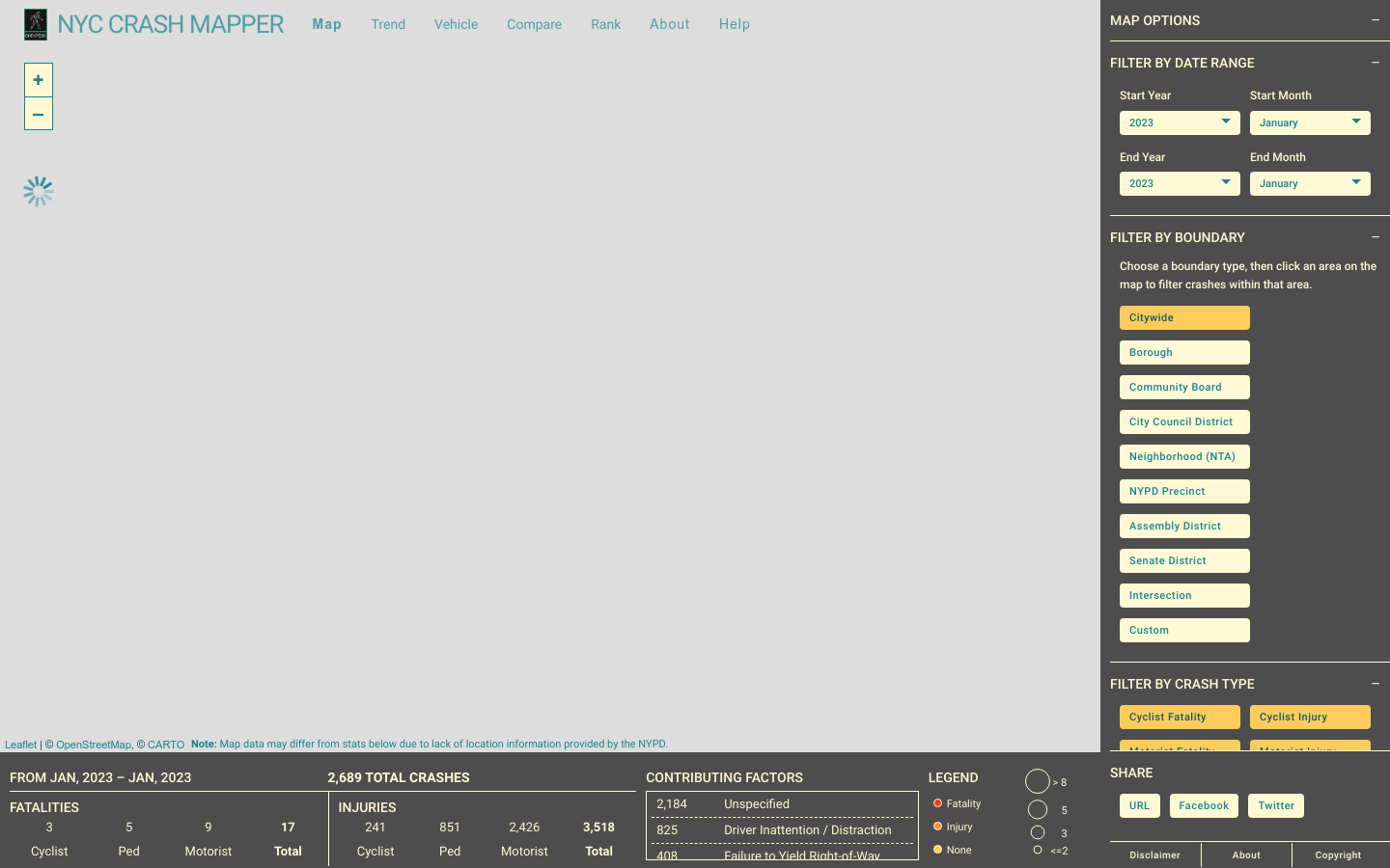
Mapping NYC automobile collisions and their resulting injuries and fatalities
Our goal is to provide multiple independent data sources allowing everyone to reach their own conclusions on what will happen in the 2020 elections.