SafeWalkr
SafeWalkr is an independent, free tool that maps the safest (not just shortest) walking route to school for every Fairfax County public school, using Street View imagery, sidewalk inventories, and traffic data.

SafeWalkr is an independent, free tool that maps the safest (not just shortest) walking route to school for every Fairfax County public school, using Street View imagery, sidewalk inventories, and traffic data.
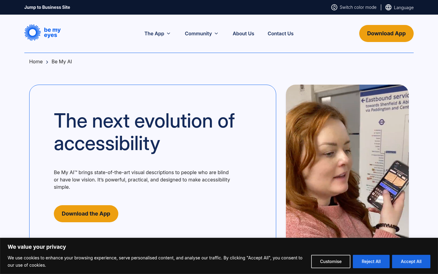
Be My AI™ brings state-of-the-art visual descriptions to people who are blind or have low vision. It’s powerful, practical, and designed to make accessibility simple.
Lookout uses computer vision to assist people with low vision or blindness get things done faster and more easily.
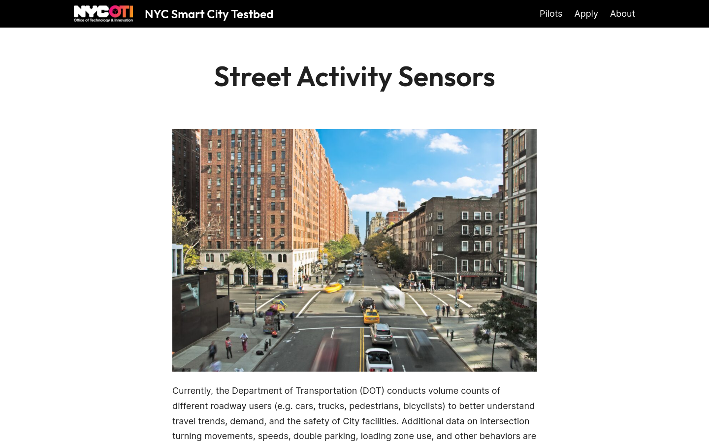
8-month pilot to test 12 computer-vision sensors across four boroughs of NYC to employ machine vision and improve street-level data collection and improve planning decisions
Unlock the power of AI waste analytics

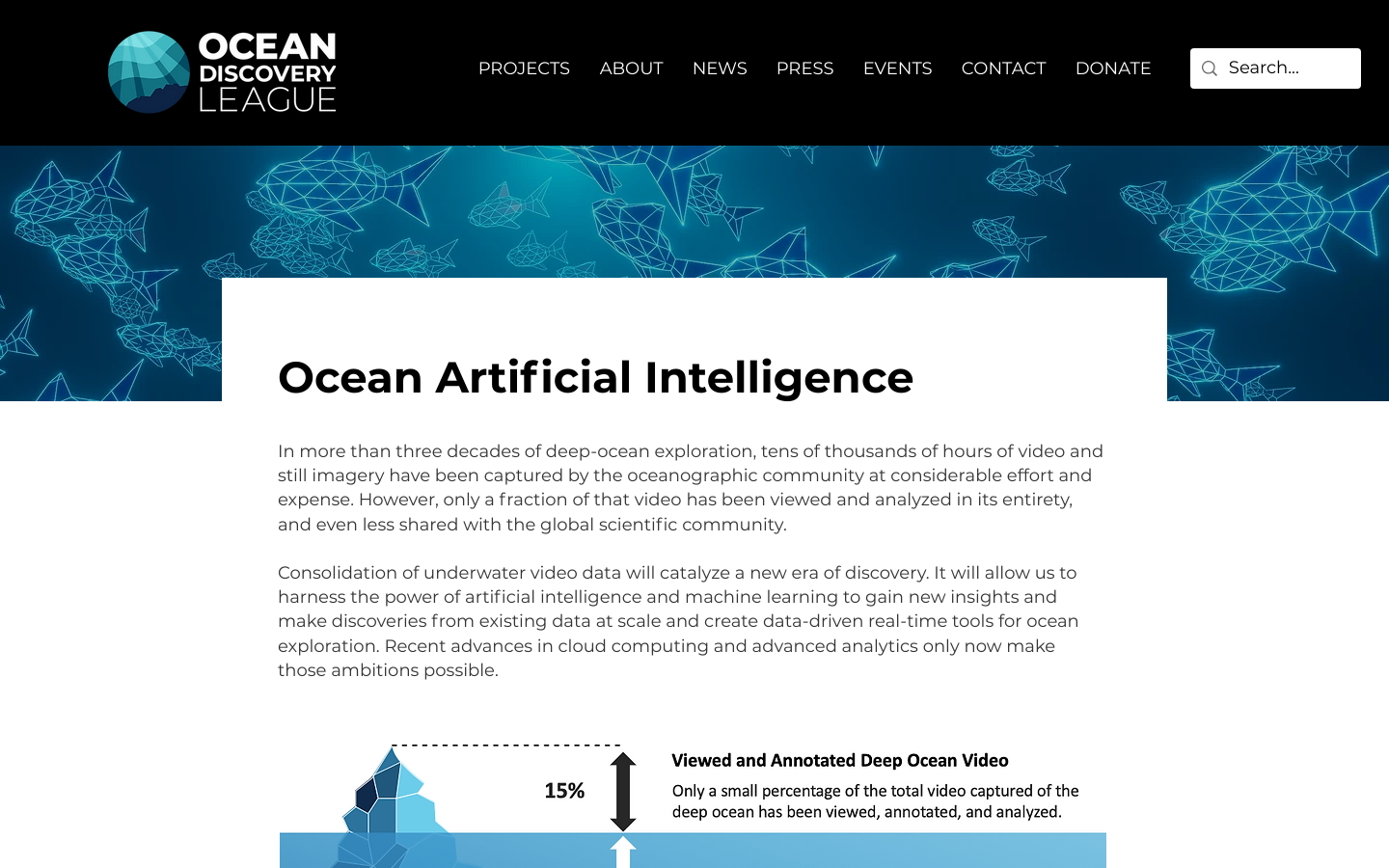
Consolidation of underwater video data will catalyze a new era of discovery.

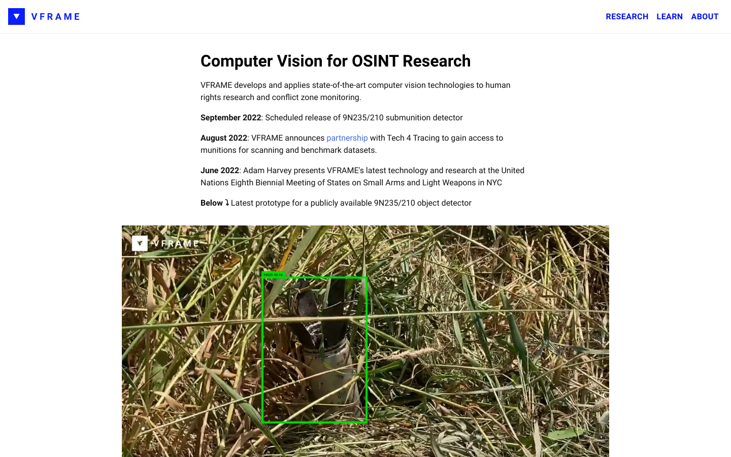
VFRAME is a computer vision toolkit for human rights researchers

"Verification Swiss Army knife", including lookups of video clips to find them in context elsewhere

Get consumer fit by accessing data from 100 million sources and over 1.3 trillion individual posts.