
Development Seed Vulnerable Housing pilot
Development Seed is supporting the World Bank to identify dangerous housing in Colombia through the use of artificial intelligence.
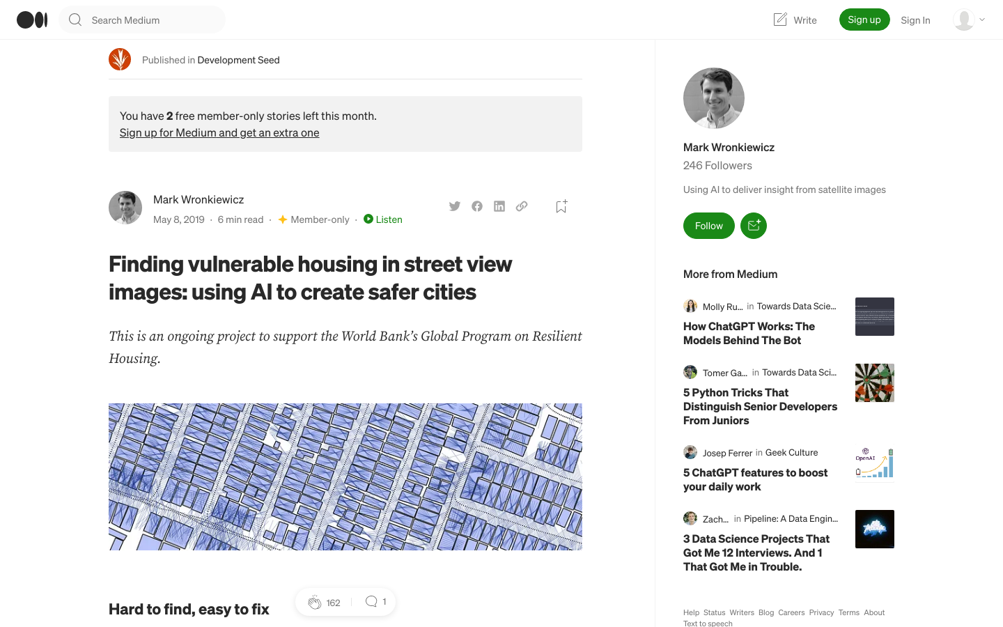
In this approach, the World Bank collects images in at-risk urban neighborhoods using vehicles outfitted with a multi-camera platform (similar to Google's street view cars). A machine learning (ML) pipeline then ingests these street view images and autonomously identifies risky structures. Finally, this information is organized and displayed in an online map for decision makers to help them direct retrofitting efforts. Instead of teams of engineers, this approach only requires a driver to weave through a neighborhood with a car-mounted camera. We aim to empower governments and local communities with this technology (especially those affected by climate change); they understand that increasing resilience is important but lack knowledge on where or how to act. Insights from this project will help communities find and protect infrastructure before a disaster rather than rebuild it after.
Related projects
Parent organization: Development Seed
- Country
- Colombia 🇨🇴
- Language(s)
- English
- Tech stack
- BuiltWith report →
- Categories
- Artificial Intelligence (AI), Civic data, Data visualization, Emerging tech, Machine vision, Mapping, The Tech
- Tags
- housing
- Added
- 2021-06-22
- Last modified
- 2026-03-23T11:00:53.000Z
Additional details
- Number of integrations
- 0
- Issues addressed
- housing