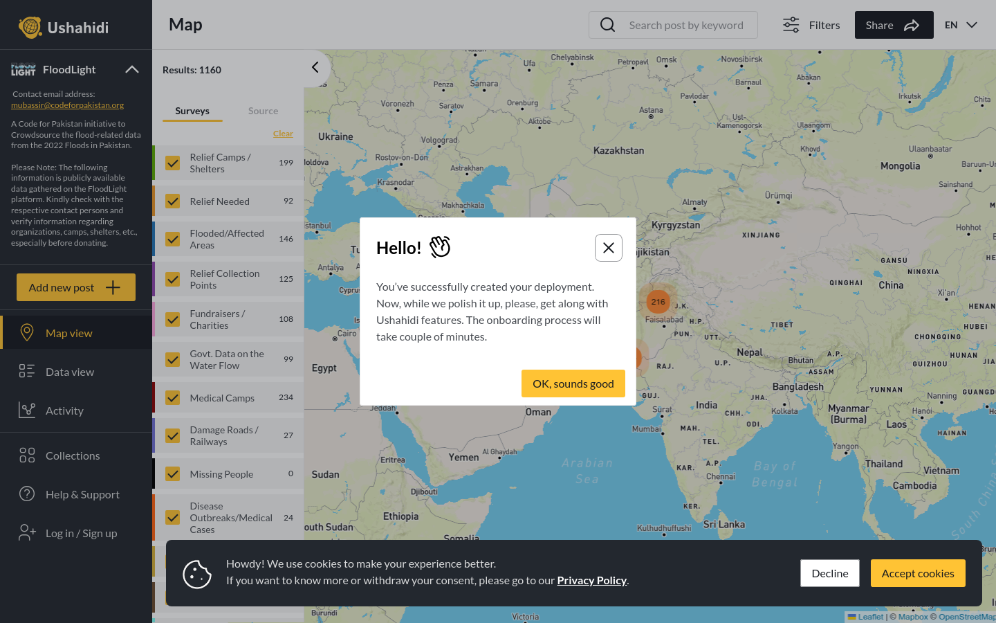
FloodLight
A Code for Pakistan initiative to Crowdsource the flood-related data from the 2022 Floods in Pakistan.
Pakistan
2022
floods

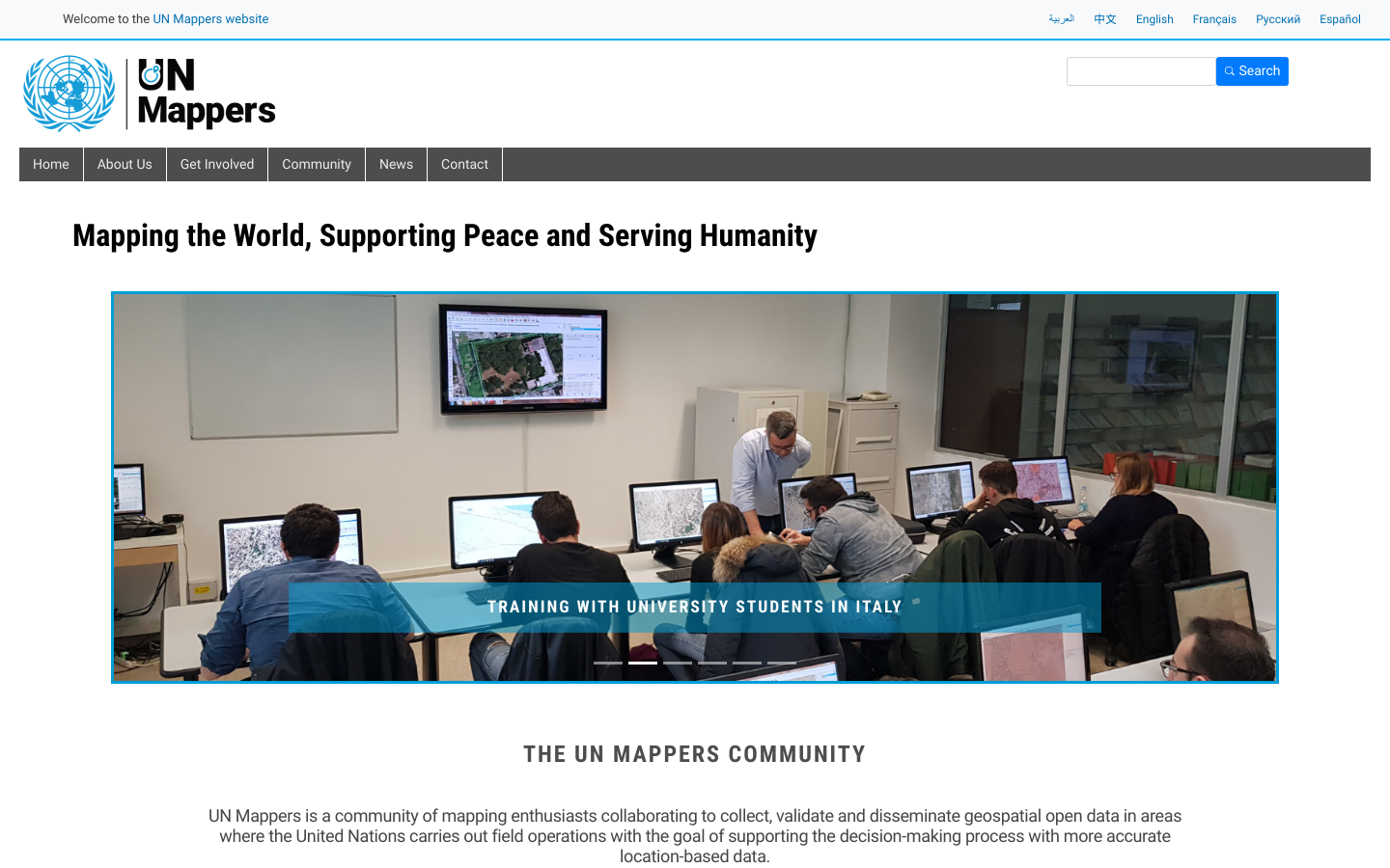
UN Mappers is a community of mapping enthusiasts collaborating to collect, validate and disseminate geospatial open data in areas where the United Nations carries out field operations with the goal of supporting the decision-making process with more accurate location-based data.
UN Mappers is part of the UN Maps, an initiative aimed at enriching topographic and operational data in UN missions and providing peacekeeping and humanitarian actors with better topographic maps, operational geo-information, search and navigation tools, and imagery and street-level base maps. UN Mappers is open to everyone. Support peace and security with open mapping and join our community!
A Code for Pakistan initiative to Crowdsource the flood-related data from the 2022 Floods in Pakistan.
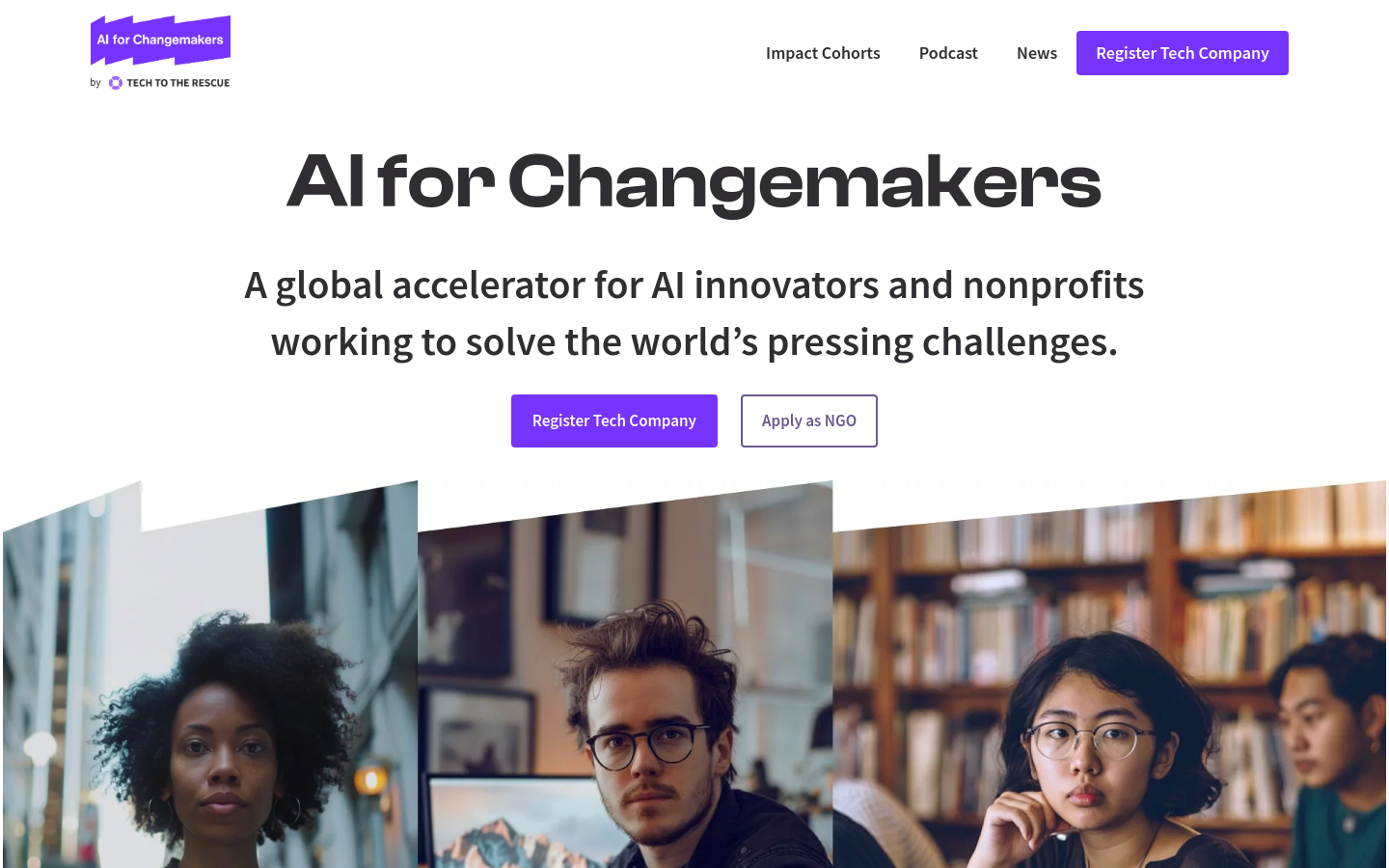
A global accelerator for AI innovators and nonprofits working to solve the world’s pressing challenges.
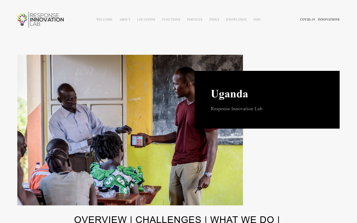
The Uganda Response Innovation Lab (Uganda RIL) was founded in 2018 by Save the Children Uganda. The main objective of the lab is to support the humanitarian response to 1.4 million refugees from eight East African countries, mainly from the Democratic Republic of Congo and South Sudan, and their host communities across 13 districts in the country through innovative approaches, systems, technologies and products.
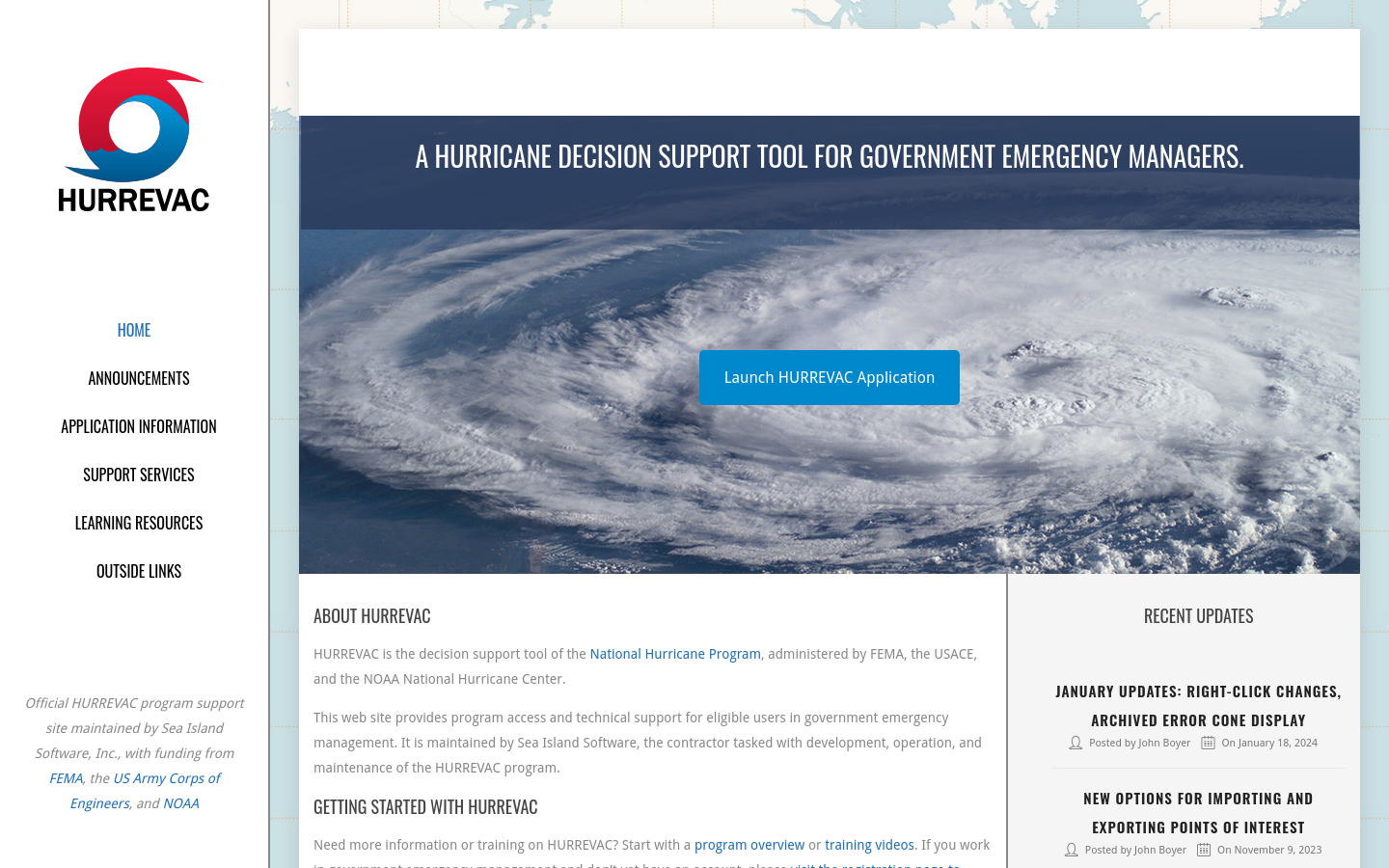
HURREVAC is the decision support tool of the [US] National Hurricane Program, administered by FEMA, the USACE, and the NOAA National Hurricane Center.