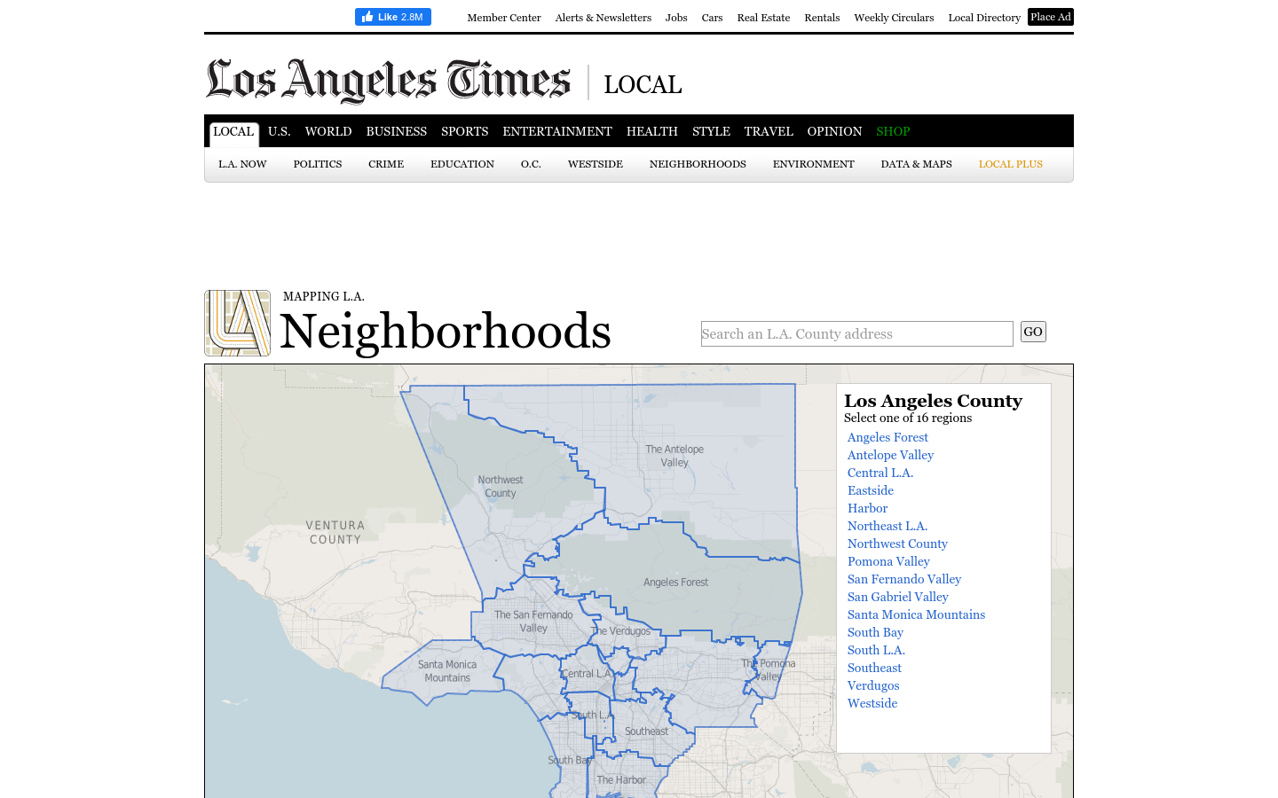
Mapping LA
This regional view is your portal to individual maps and statistics for 158 cities and unincorporated places and 114 neighborhoods within the city of Los Angeles.
Los Angeles, CA
2019

We’re helping city dwellers measure, map, and manage street trees.
TreeKITÂ builds tools to help city dwellers measure, map, and collaboratively manage urban ecosystems. The project is focused on high density urban areas where the links between human and non-human health are most clearly evident. Mapping street trees introduces people to the neighborly “charasmatic megaflora” (AKA trees)Â living on their city block and quietly contributing many ecosystem services and raising property values. Through TreeKIT’s educational mapping workshops, we aim to promote long term stewardship of the urban forest, one tree at a time.

This regional view is your portal to individual maps and statistics for 158 cities and unincorporated places and 114 neighborhoods within the city of Los Angeles.
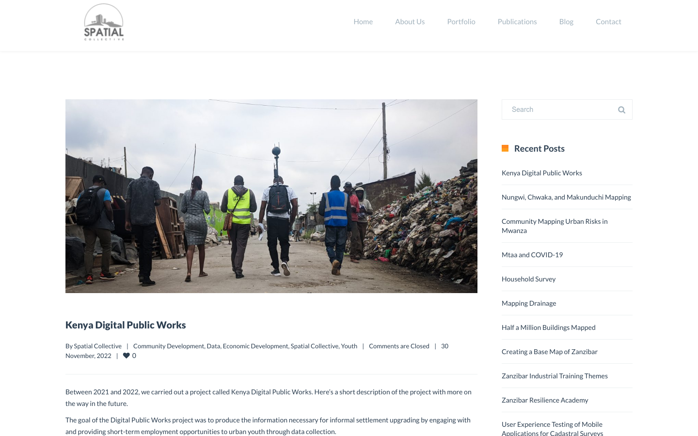
"DPW set out to answer a question: Can the youth use affordable and widely available technologies to gather the information necessary to support informal settlement upgrading?"
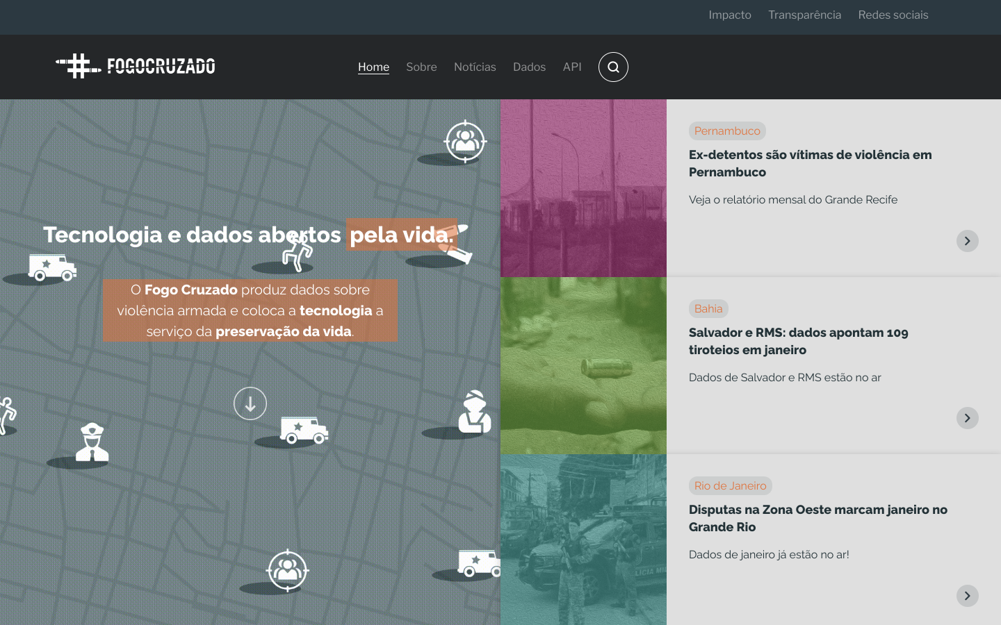
Fogo Cruzado (Cross-fire) is a laboratory of data on armed violence that aggregates and makes data and information available through an application for mobile technology combined with a database
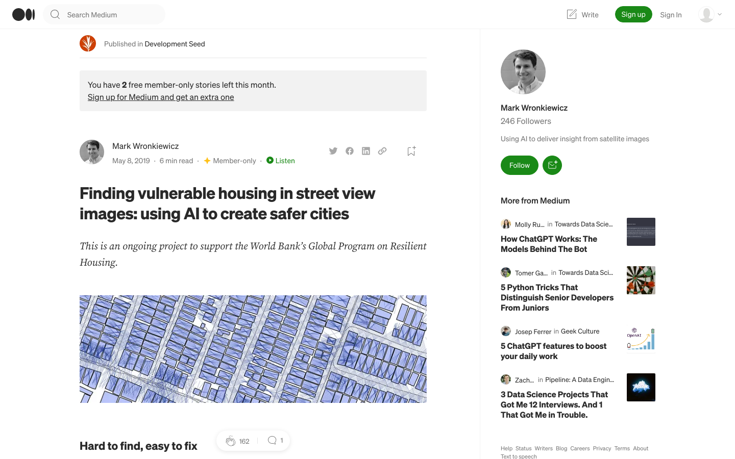
Development Seed is supporting the World Bank to identify dangerous housing in Colombia through the use of artificial intelligence.