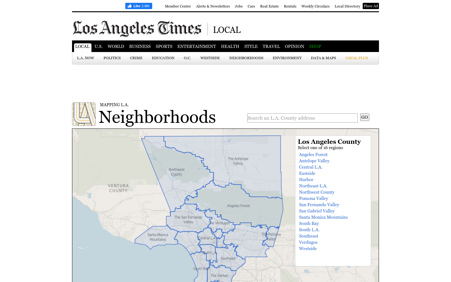
Mapping LA
This regional view is your portal to individual maps and statistics for 158 cities and unincorporated places and 114 neighborhoods within the city of Los Angeles.
Los Angeles, CA
2019

Terrastories is a geostorytelling application built to enable local communities to locate and map their own oral storytelling traditions about places of significant meaning or value to them.
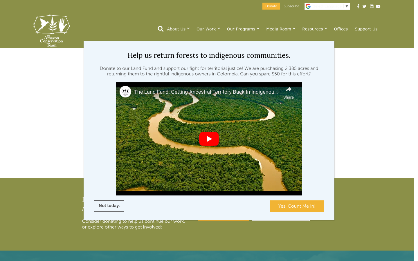
Terrastories is a geostorytelling application built to enable local communities to locate and map their own oral storytelling traditions about places of significant meaning or value to them. Community members can add places and stories through a user-friendly interface, and make decisions about setting certain stories as private or restricted. Powered by the [Mapbox](http://mapbox.com/) platform, Terrastories is designed to be entirely offline-compatible, so that remote communities can access the application entirely without needing internet connectivity. [Terrastories: Matawai Konde 1.0 (October 2018)](https://www.amazonteam.org/wp-content/uploads/2018/10/terrastories-1280x720.gif) The design of Terrastories is being stewarded by the Amazon Conservation Team (ACT). With the support of ACT, Terrastories will be used by the Matawai Maroons in Suriname, the Wauja in Brazil, and the Kogui in Colombia to map oral histories about their sacred and ancestral sites, former settlements, and other places of significance.
Parent organization: Awana Digital
This regional view is your portal to individual maps and statistics for 158 cities and unincorporated places and 114 neighborhoods within the city of Los Angeles.
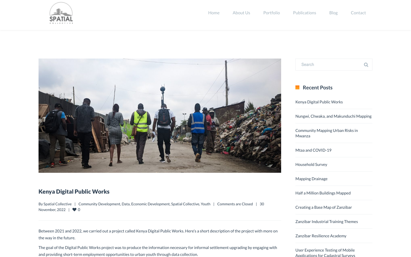
"DPW set out to answer a question: Can the youth use affordable and widely available technologies to gather the information necessary to support informal settlement upgrading?"
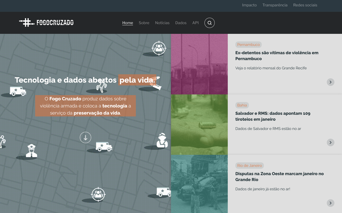
Fogo Cruzado (Cross-fire) is a laboratory of data on armed violence that aggregates and makes data and information available through an application for mobile technology combined with a database
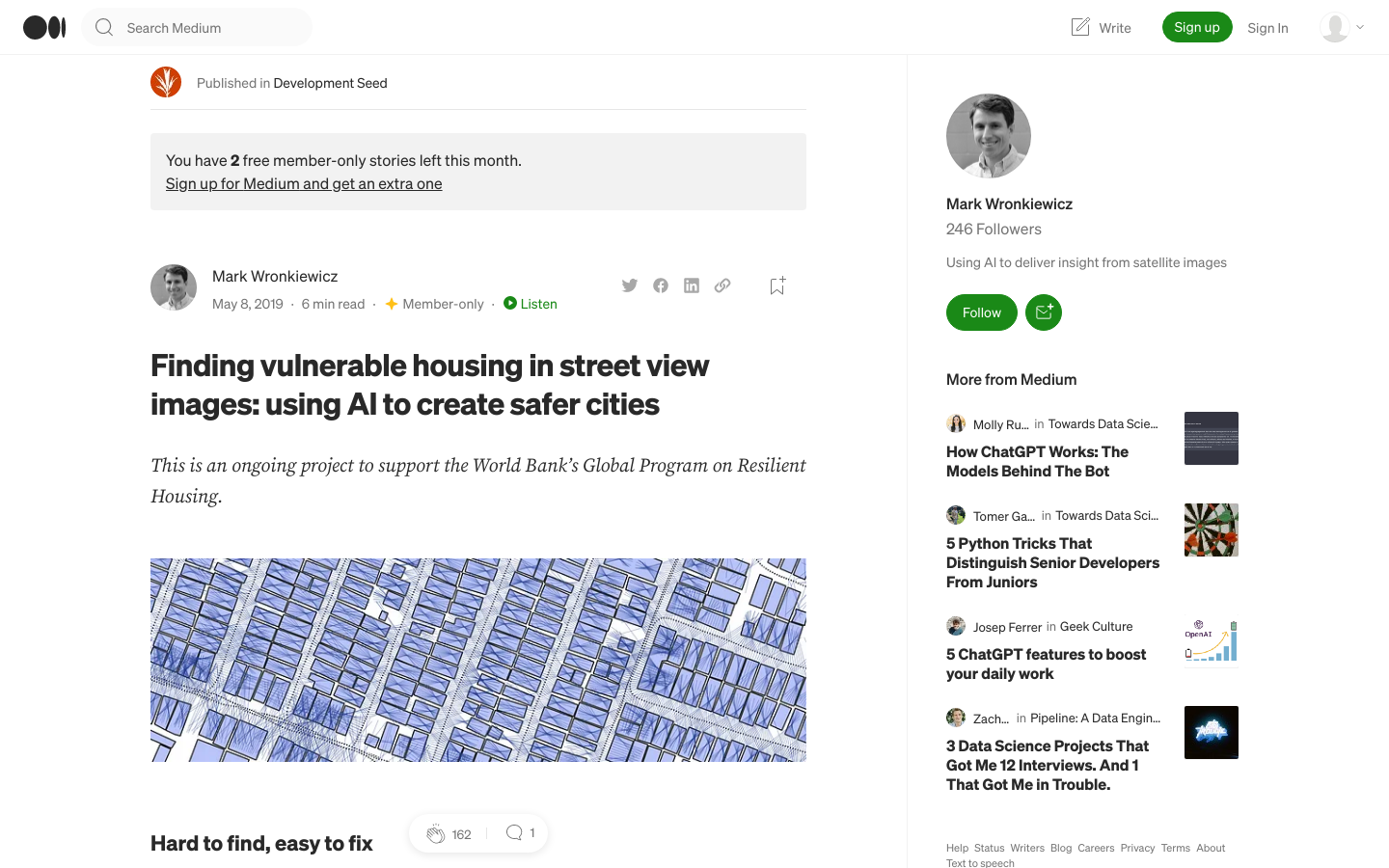
Development Seed is supporting the World Bank to identify dangerous housing in Colombia through the use of artificial intelligence.