
Satellite Eye
Satellite Eye is a free web-based imaging-satellite pass tracker from the space-tracking site Orbital Radar that estimates how often Earth-observation satellites pass over any location and gives it an A-to-F "surveillance score".
2026

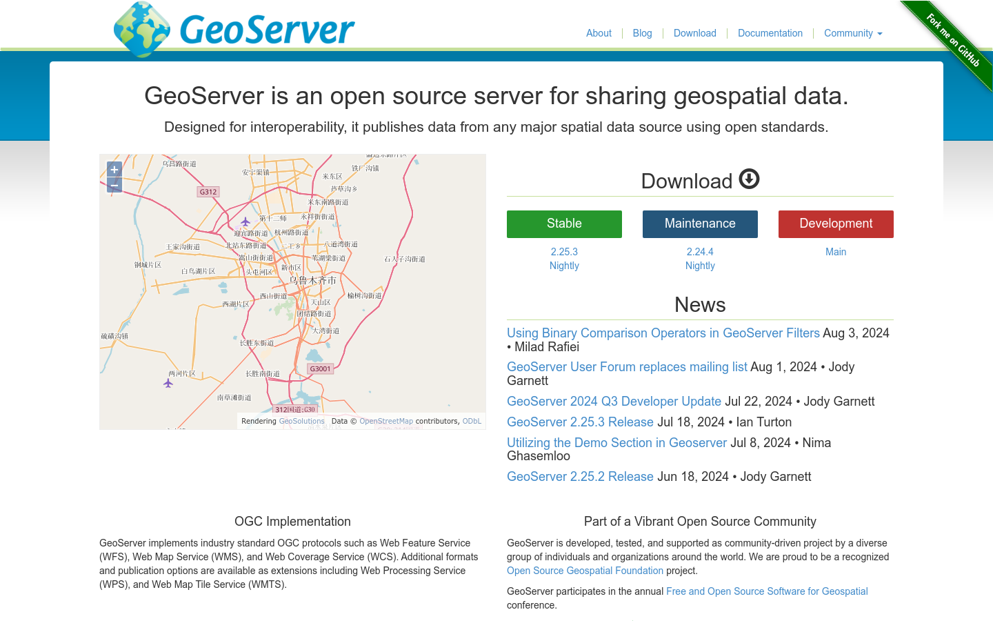
GeoServer is an open source server for sharing geospatial data.
Satellite Eye is a free web-based imaging-satellite pass tracker from the space-tracking site Orbital Radar that estimates how often Earth-observation satellites pass over any location and gives it an A-to-F "surveillance score".

Flock Surveillance Map is an independent surveillance-transparency map that plots the locations and status of Flock Safety camera and drone devices across the United States.

AURA ENGINE is an experimental automated "kindness engine" for New York City that carries out small online good deeds, each logged with a receipt, and maps the mood of each borough.

A tool to estimate the points on the Earth's surface where a shadow of a particular length could occur, for geolocation purposes.

ENHANCE Cities is a free interactive mapping tool from UCL's CASA that visualises urban-planning and sustainable-transport indicators, transport accessibility, travel sustainability, brownfield sites, 15-minute-city access, across England and Wales, from national to neighbourhood scale.