
UP42
UP42 transforms how organizations order, access, and analyze Earth observation data.
Berlin
2019
commercial

Explore 151 projects in the Mapping category of the Civic Tech Field Guide.
UP42 transforms how organizations order, access, and analyze Earth observation data.
The free and open global address collection
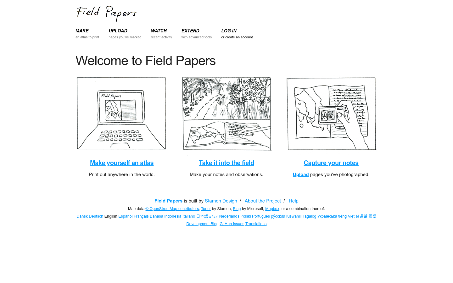
Field Papers is a tool to help you create a multi-page atlas of anywhere in the world.

The North American Cartographic Information Society (NACIS) is an enjoyable society of map enthusiasts
Collaborate across agencies to combat homelessness at the Point of Work on one unified platform.

Mapbox's first event celebrating and exploring the connectedness of the world around us. #explorelocate
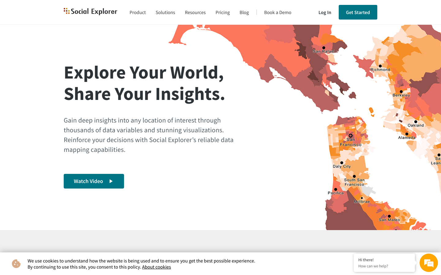
Gain deep insights into any location of interest through thousands of data variables and stunning visualizations. Reinforce your decisions with Social Explorer’s reliable data mapping capabilities. Watch Videoplay_arrow
A tool designed to strengthen the digital infrastructure of public transportation in Mexico and Latin America. With this open-access editor, agencies can generate and manage their GTFS data with full autonomy.
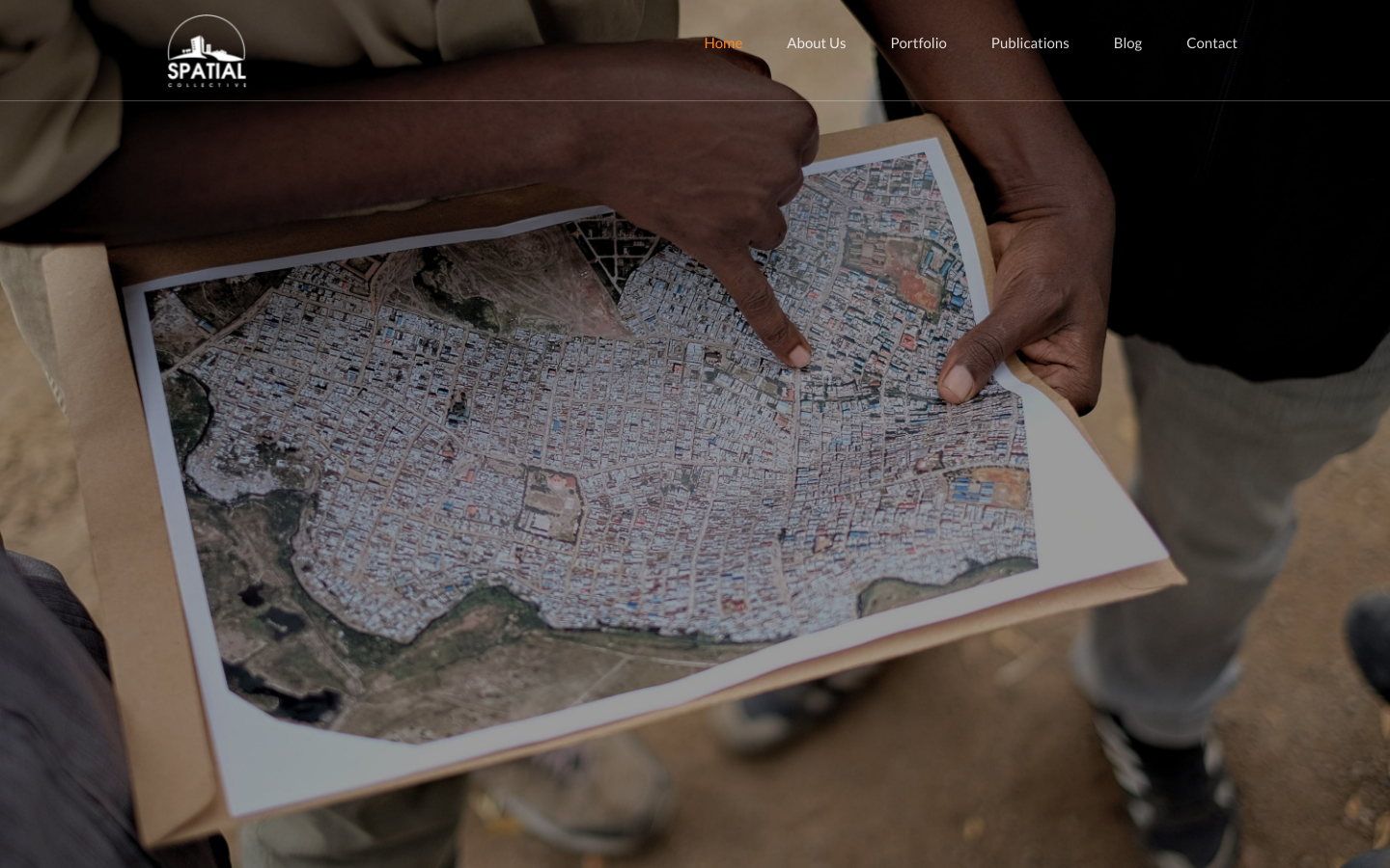
We support communities and organizations in adopting available technologies to collect data that is important to them