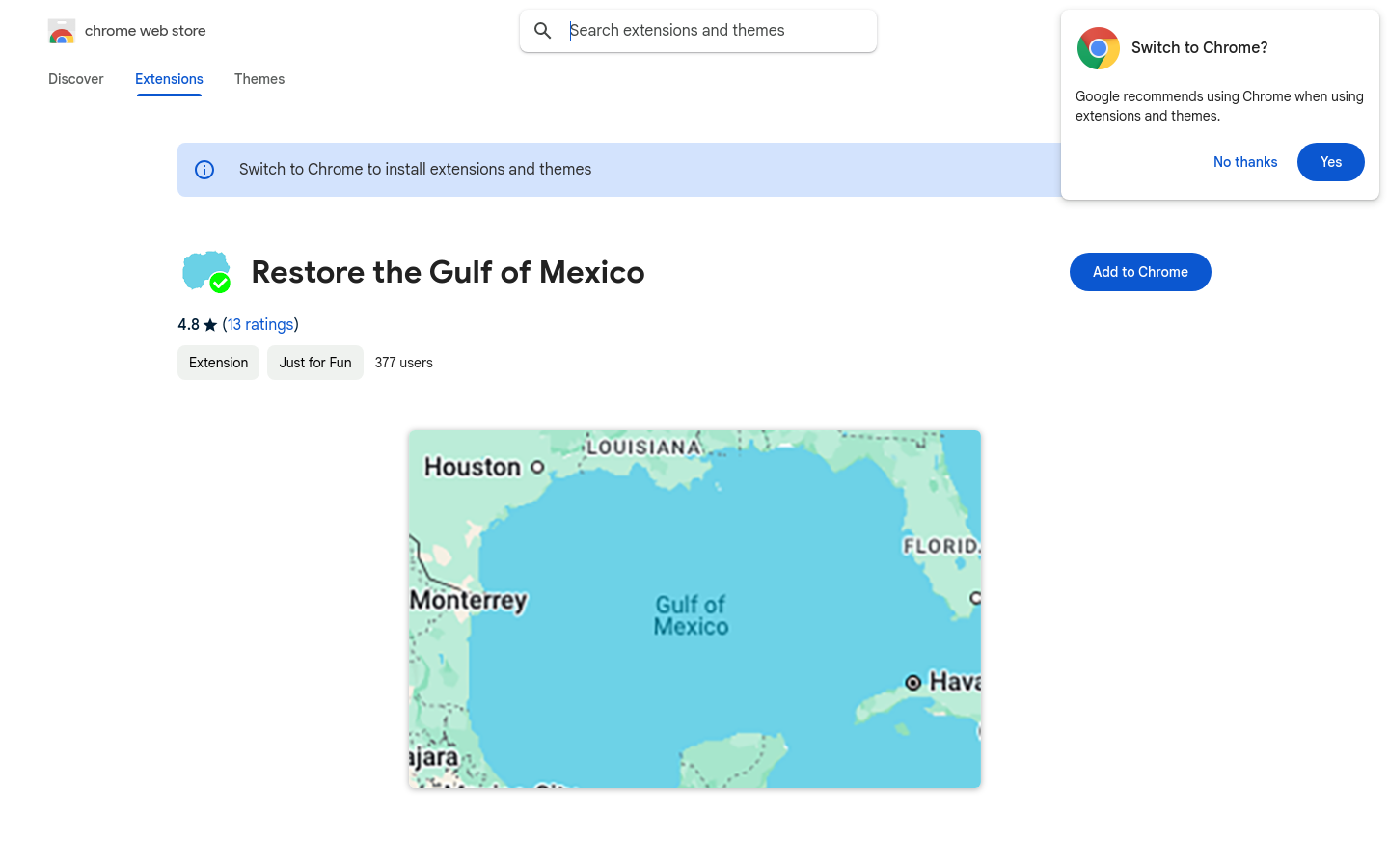
Restore the Gulf of Mexico
Updates Google Maps to show the Gulf of Mexico again.
extensions, Project 2025

Explore 83 projects in the Mapping Tools category of the Civic Tech Field Guide.
Updates Google Maps to show the Gulf of Mexico again.
Verkehrszeichen sind wertvolle Daten in OpenStreetMap.
Urban Analyst provides interactive maps of the properties of cities including of their transport systems and socio-demographic conditions, as well as statistical summaries of all cities.
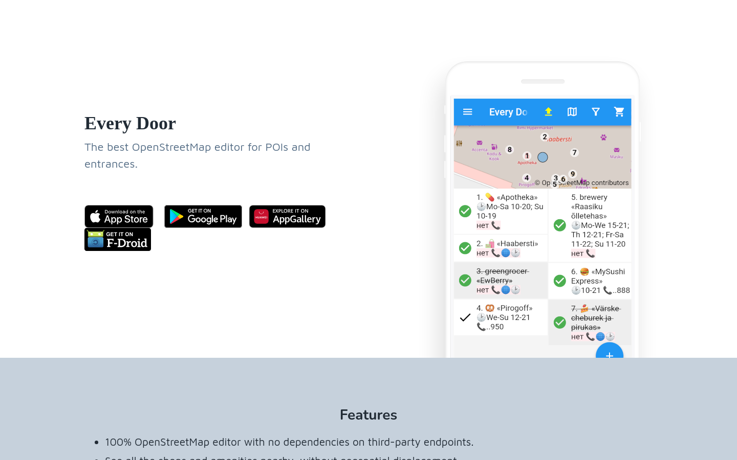
EveryDoor is an OpenStreetMap editor for POIs and entrances.
Making movements visible
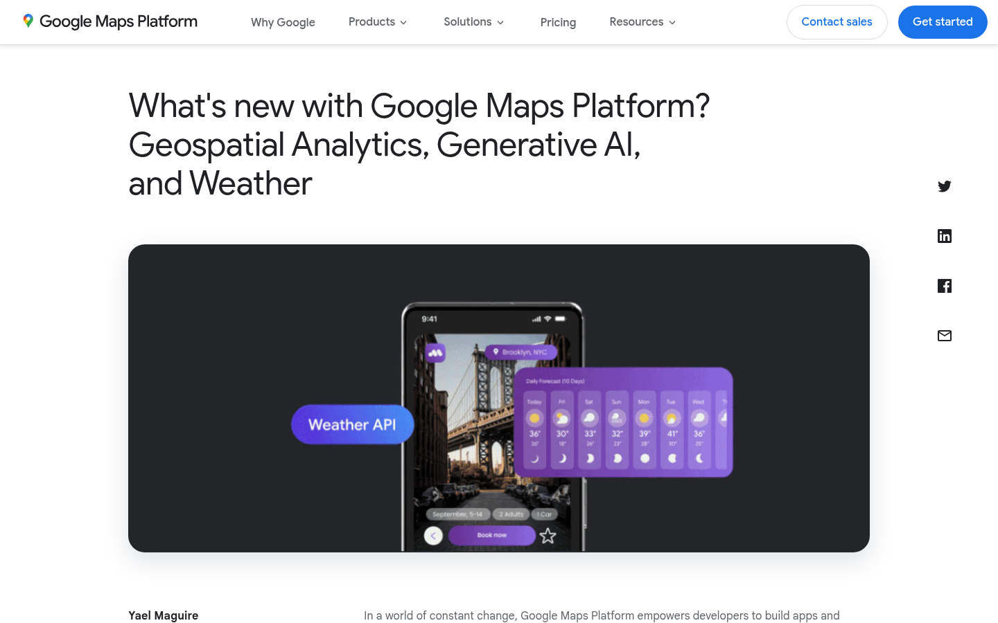
Google Cloud now offers Geospatial Analytics, Generative AI on Street View imagery, and more environmental data as part of the broader Google Maps Platform
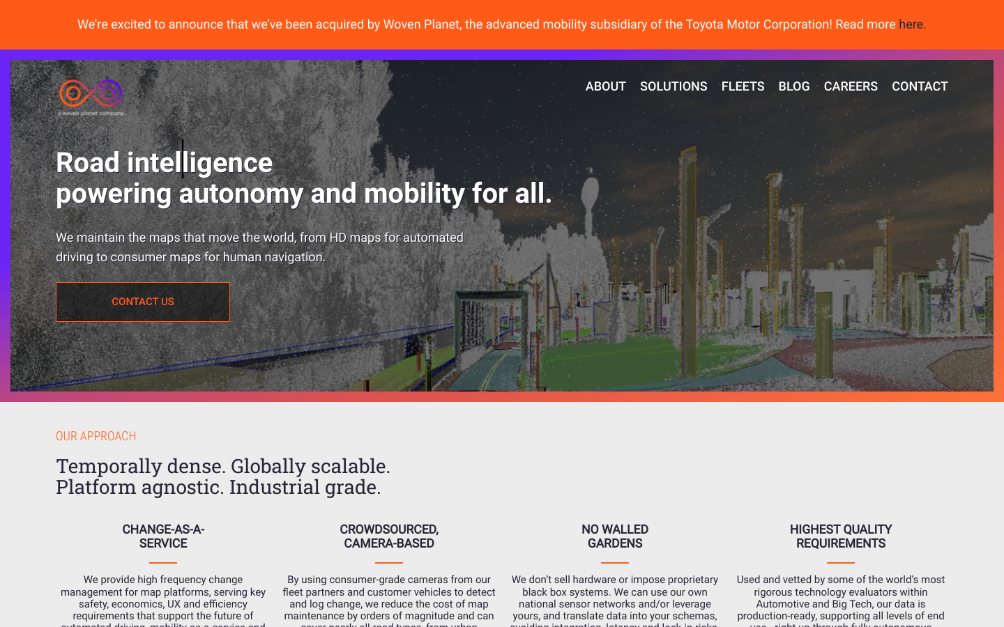
Mapping solution for municipalities