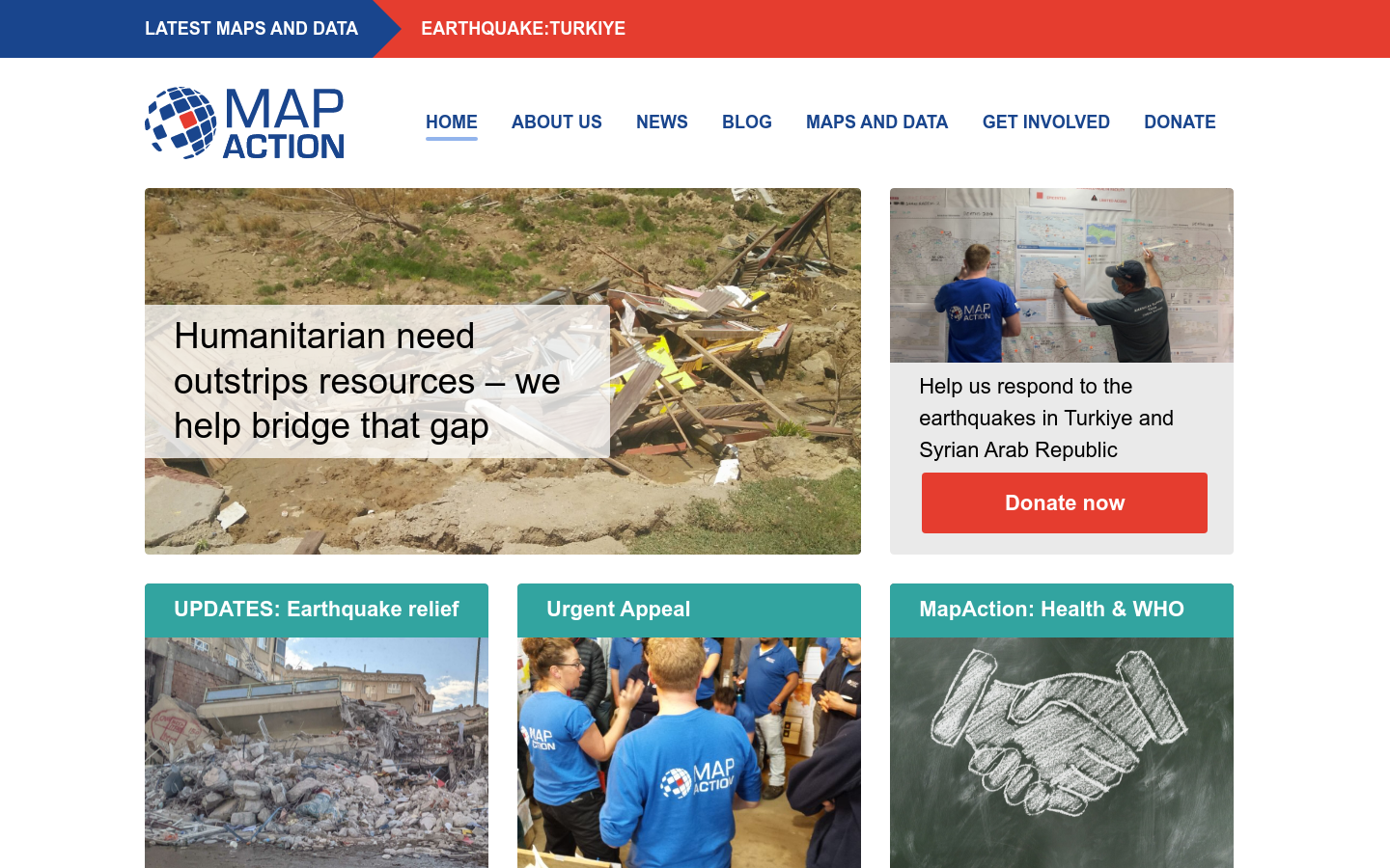
MapAction
An emergency map publishing system that supports humanitarian workers in the field
Oxfordshire, UK
2002

Explore 38 projects in the Mapping Platforms category of the Civic Tech Field Guide.
An emergency map publishing system that supports humanitarian workers in the field
Esri's GIS mapping software is the most powerful mapping and spatial data analytics technology available. Unlock the full potential of your data and improve operational & business results with our location platform.
CARTO Turns Your Location Data Into Business Outcomes.
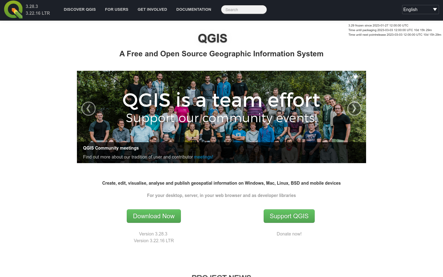
Create, edit, visualise, analyse and publish geospatial information on Windows, macOS, Linux, BSD and mobile devices For your desktop, server, in your web browser and as developer libraries
Supernormal explored an algorithm that integrates social equity as a key variable in prioritizing infrastructural replacements and repairs.

UP42 transforms how organizations order, access, and analyze Earth observation data.
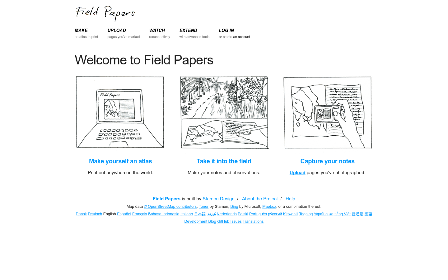
Field Papers is a tool to help you create a multi-page atlas of anywhere in the world.
Collaborate across agencies to combat homelessness at the Point of Work on one unified platform.
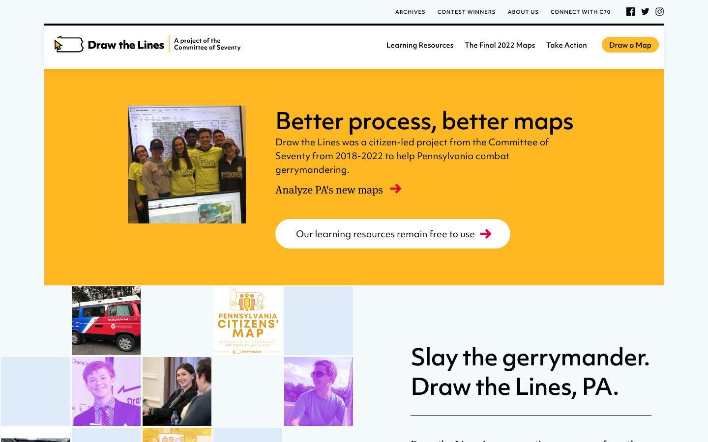
It's our House, so it should be our mouse.