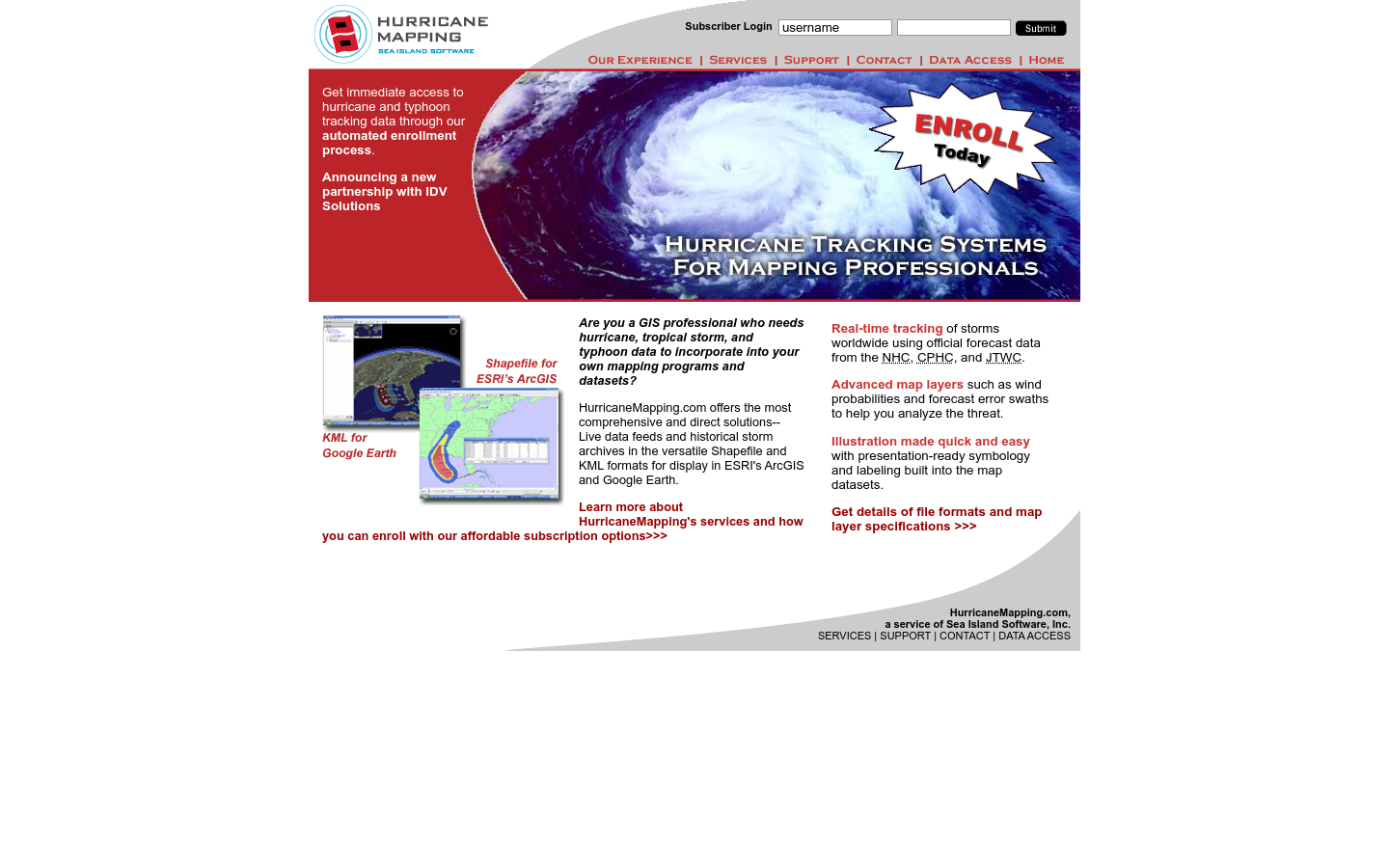
Hurricane Mapping (Sea Island Software)
We are Sea Island Software, Inc., a company specializing in hurricane threat assessment. HurricaneMapping.com is our storm tracking service for Google Earth and ESRI's ArcGIS.
Richmond, VA
hurricanes

Explore 167 projects in the Disaster Response And Humanitarian Tech category of the Civic Tech Field Guide.
We are Sea Island Software, Inc., a company specializing in hurricane threat assessment. HurricaneMapping.com is our storm tracking service for Google Earth and ESRI's ArcGIS.
Our aim is to build a community that supports the Open Data and uptake of the Living Lab paradigm.
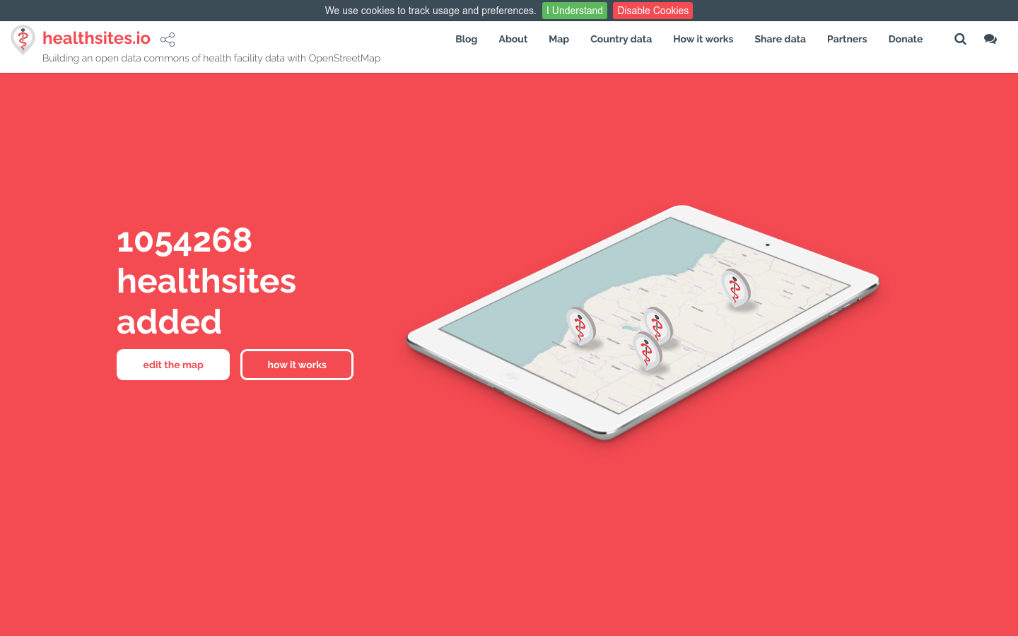
Building an open data commons of health facility data with OpenStreetMap

A non-profit that seeks to eliminate humanitarian language barriers to improve the lives of refugees and immigrants. This service is built for people on the move and non-profit organisations.

Making social services more connected, empathetic and accessible
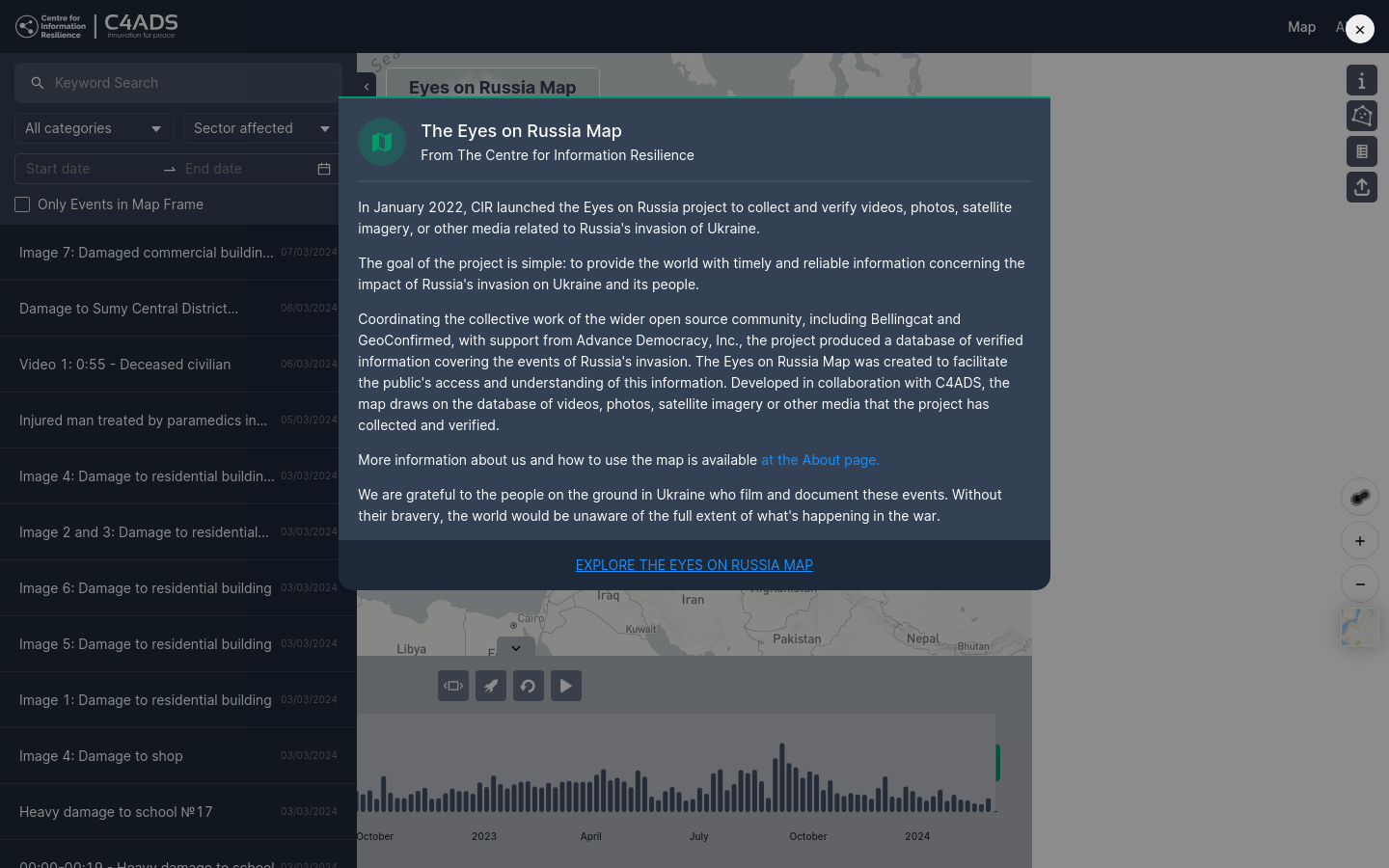
In January 2022, CIR launched the Eyes on Russia project to collect and verify videos, photos, satellite imagery, or other media related to Russia's invasion of Ukraine. The goal of the project is simple: to provide the world with timely and reliable information concerning the impact of Russia's invasion on Ukraine and its people.
PAPO-Heatwave is an open-source conceptual simulation framework designed for AI developers or researchers to develop simulations on heatwave responses.
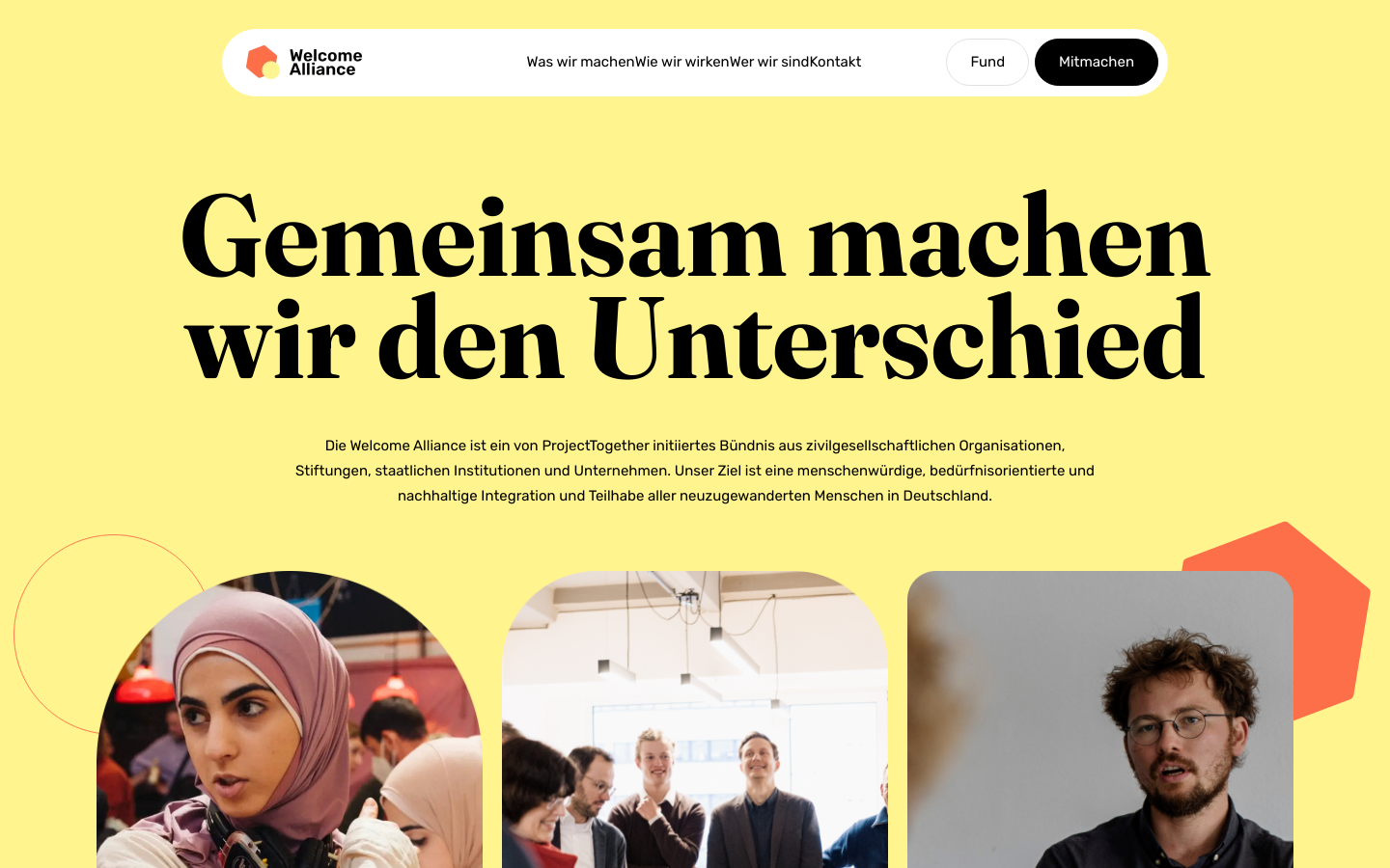
The Welcome Alliance is an alliance of civil society organizations, foundations, state institutions and companies initiated by ProjectTogether. Our goal is humane, needs-oriented and sustainable integration and participation of all new immigrants in Germany.

A 501(c)(3) non-profit creating modern digital solutions for real-world, physical problems.