Extract
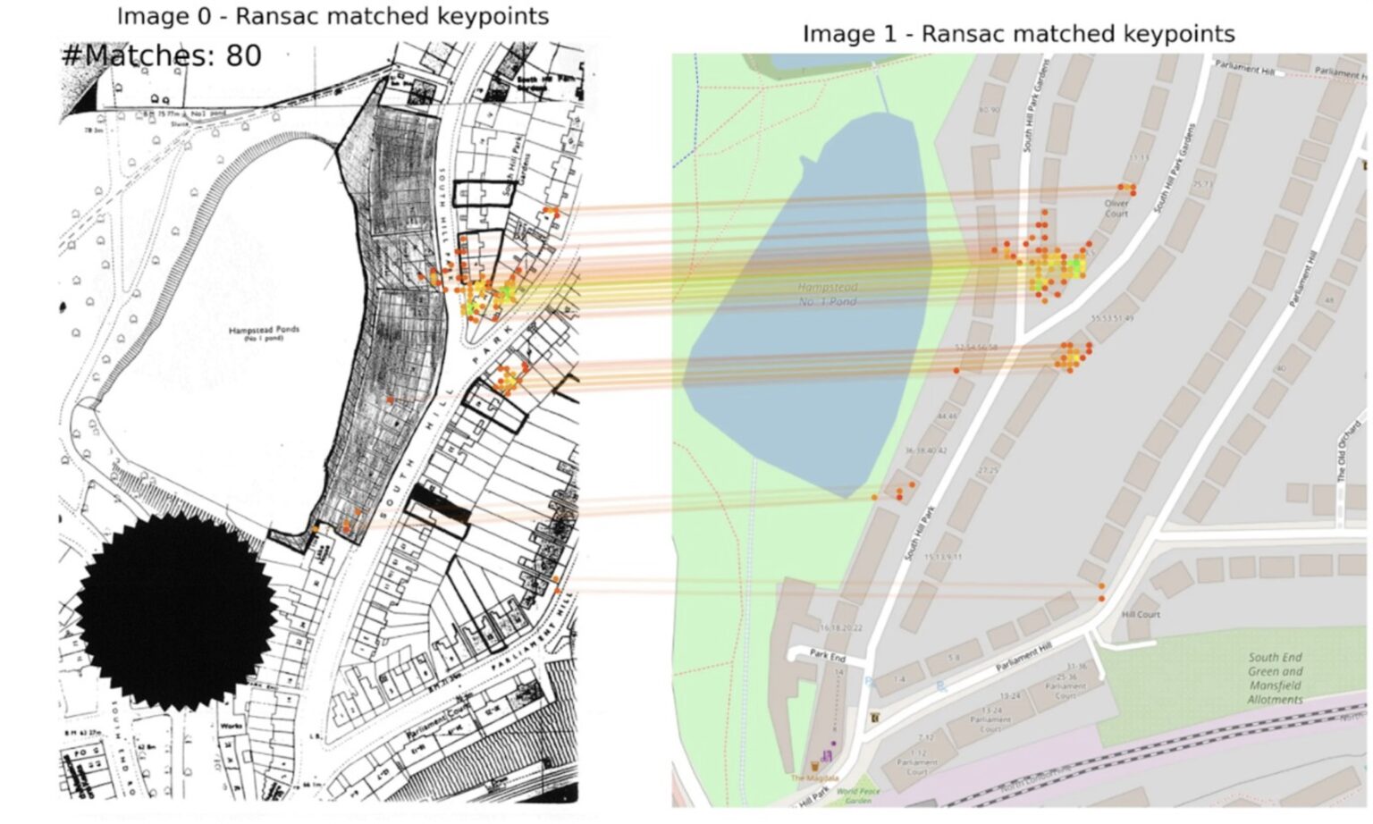
Using AI to unlock historic planning data
10 Downing Street
2025
Gemini, OpenStreetMap

ZoningHub gives municipalities a new way to post their #zoning regulations online. Big cities or small villages, ZoningHub is easy and accessible. #civictech
The Cloud-Native Geospatial Foundation encourages adoption of highly efficient and accessible approaches to working with geospatial data over the Internet.
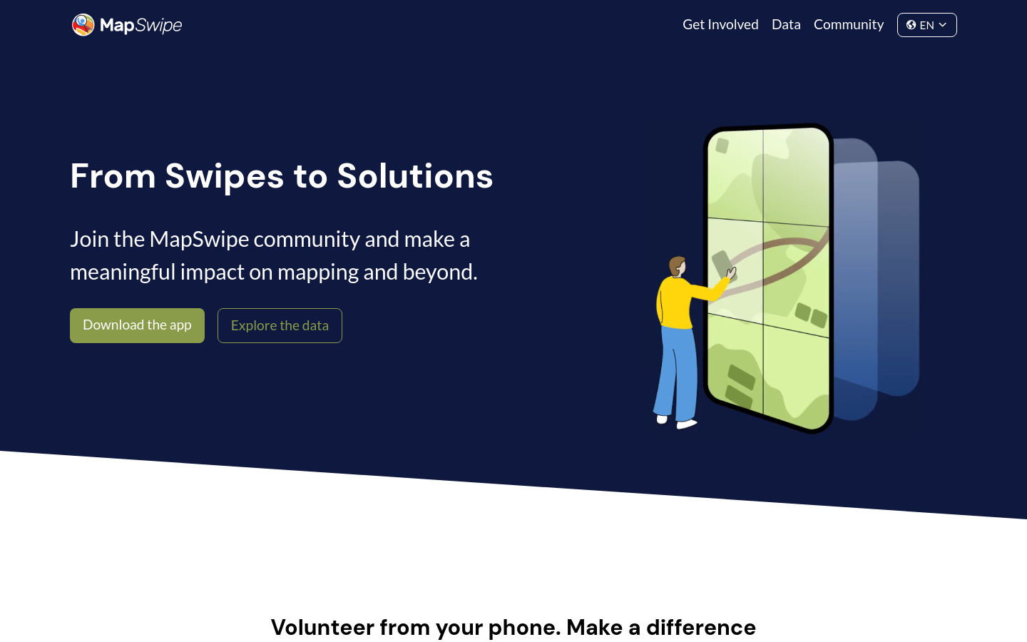
Swipe and tap. Put communities on the map. Help humanitarians find and help vulnerable people.
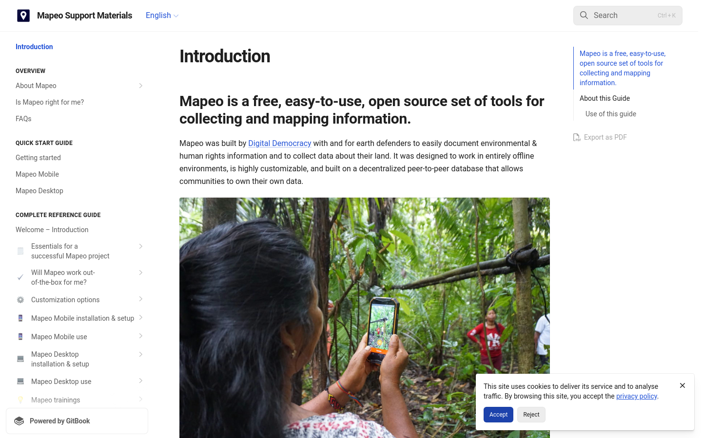
Mapeo is a free, easy-to-use, open source set of tools for collecting and mapping information. Mapeo was built by Digital Democracy with and for earth defenders to easily document environmental & human rights information and to collect data about their land. It was designed to work in entirely offline environments, is highly customizable, and built on a decentralized peer-to-peer database that allows communities to own their own data.