
Satellite Eye
Satellite Eye is a free web-based imaging-satellite pass tracker from the space-tracking site Orbital Radar that estimates how often Earth-observation satellites pass over any location and gives it an A-to-F "surveillance score".
2026

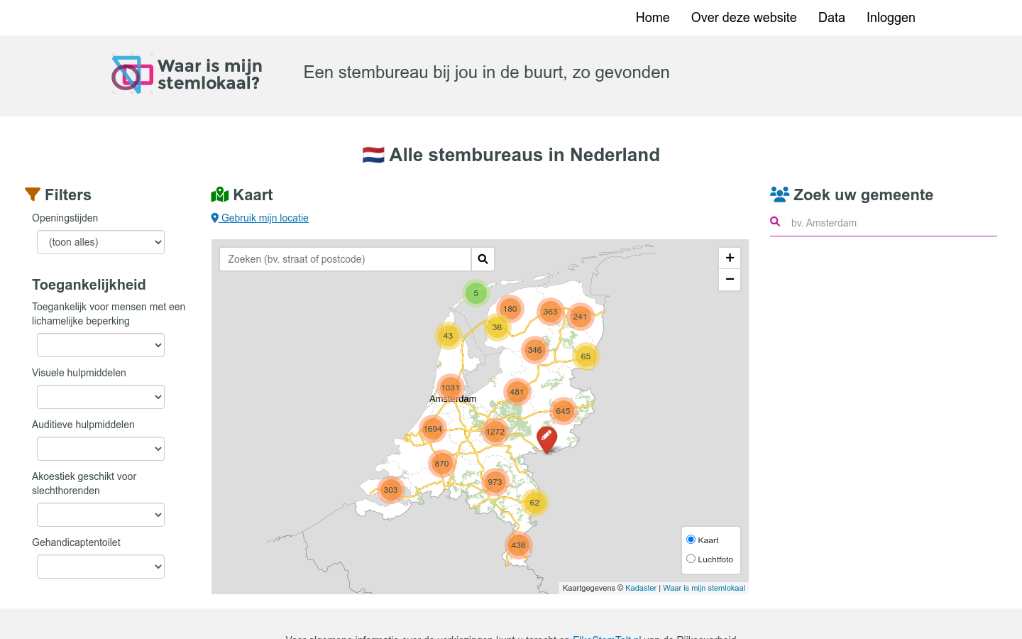
Een stembureau bij jou in de buurt, zo gevonden
Since the 2017 elections to the House of Representatives, we have been collecting data from all polling stations in the Netherlands for every election. We do this in cooperation with the Ministry of the Interior and Kingdom Relations, VNG Realization and the Electoral Council on the platform ‘Where is my polling station‘. Voters can find their nearest polling station on WaarIsMijnStemlokaal.nl and see how accessible their polling station is. Through an open standard, all municipalities can upload data about their polling stations on the platform. These data are open data and can be reused in all kinds of applications. The data is also often used to map and analyze election results by polling station, as for example in 2019 in the Volkskrant and Pointer of KRO-NCRV.
Satellite Eye is a free web-based imaging-satellite pass tracker from the space-tracking site Orbital Radar that estimates how often Earth-observation satellites pass over any location and gives it an A-to-F "surveillance score".

The 'Harnessing Data for Democratic Development in South and Southeast Asia' project currently being implemented by LIRNEasia is focused on the data policy ecosystems in South and Southeast Asia.

Flock Surveillance Map is an independent surveillance-transparency map that plots the locations and status of Flock Safety camera and drone devices across the United States.

Search CMS nursing home ratings, federal penalties, staffing, and ownership records for every certified U.S. nursing home.
