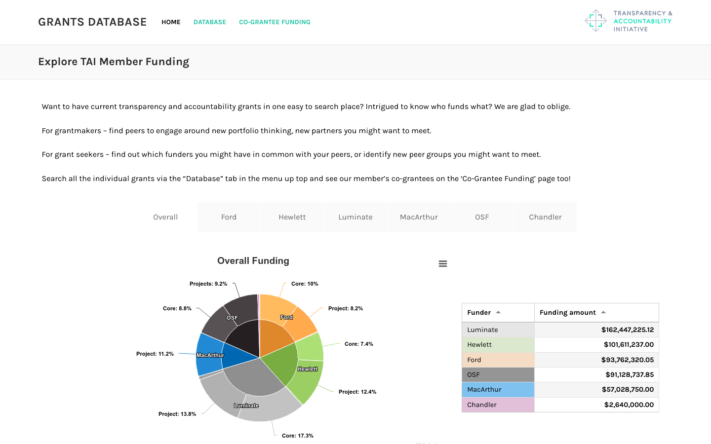
Transparency & Accountability Initiative Grants Database
Includes funding from Ford, Hewlett, Luminate, MacArthur, OpenSocietyFoundation, and Chandler foundations totaling over half a billion dollars
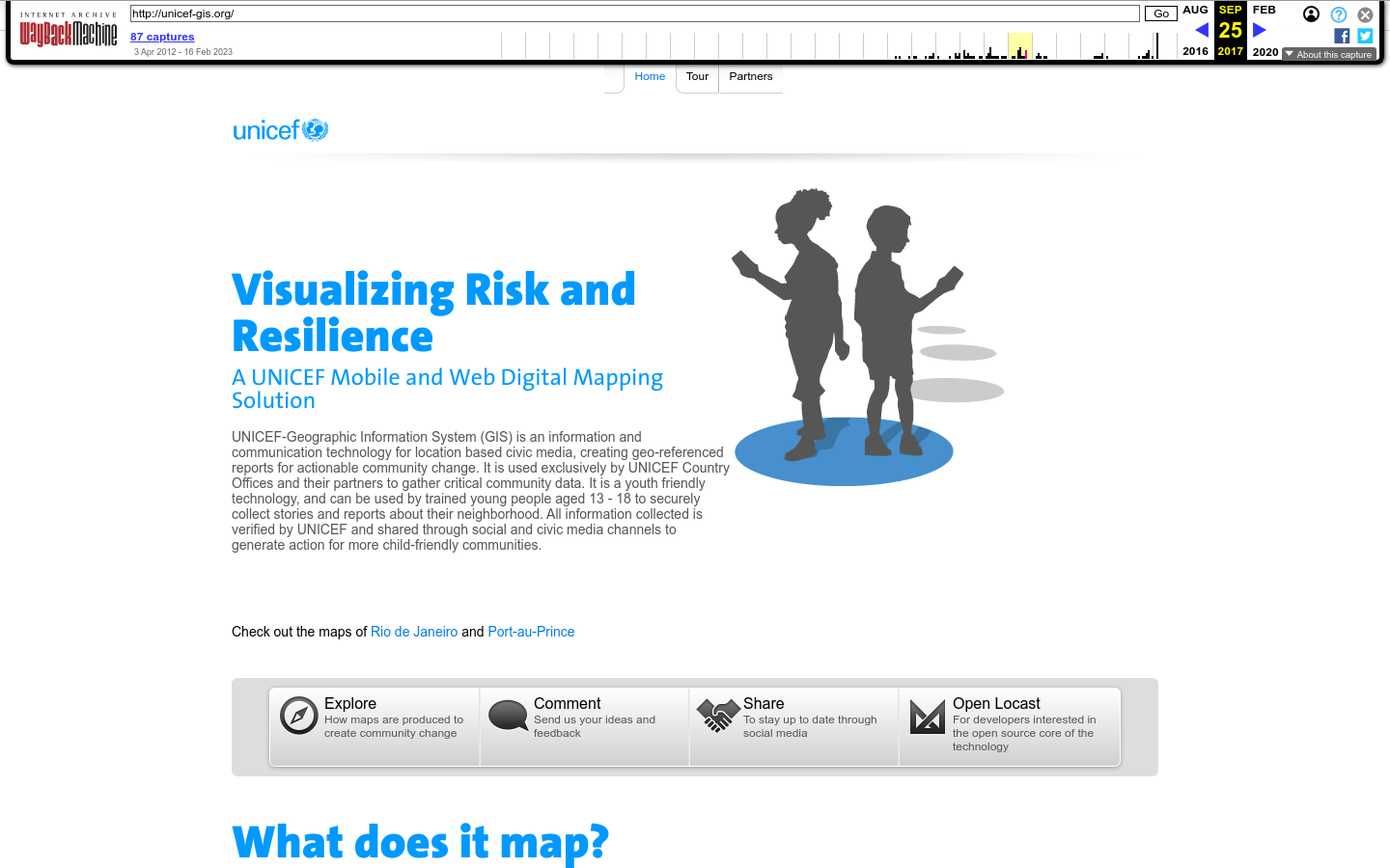
A UNICEF Mobile and Web Digital Mapping Solution
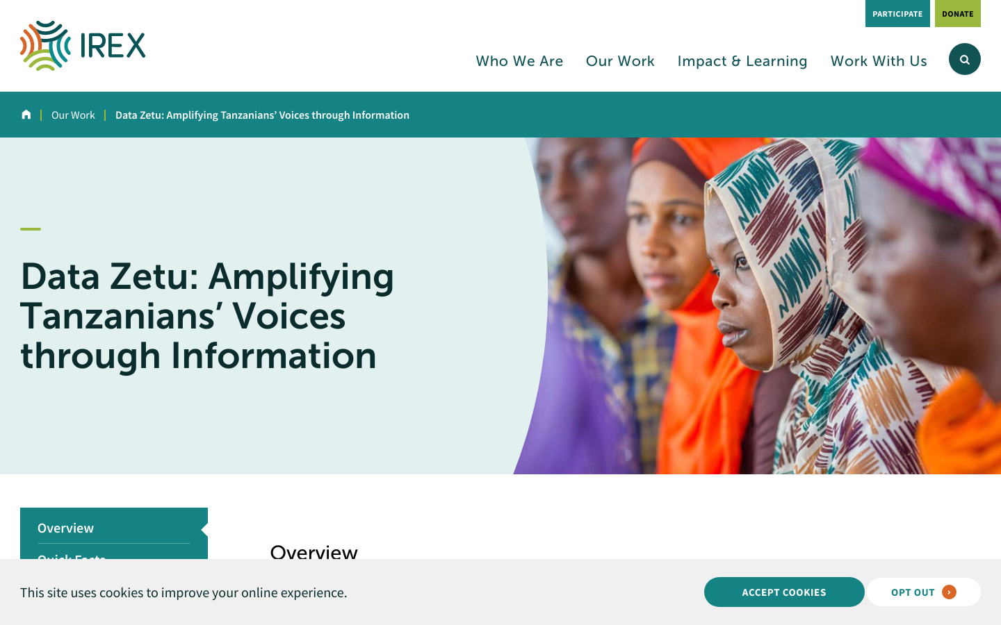
Visualizing Risk and Resilience UNICEF-Geographic Information System (GIS) is an information and communication technology for location based civic media, creating geo-referenced reports for actionable community change. It is used exclusively by UNICEF Country Offices and their partners to gather critical community data. It is a youth friendly technology, and can be used by trained young people aged 13 – 18 to securely collect stories and reports about their neighborhood. All information collected is verified by UNICEF and shared through social and civic media channels to generate action for more child-friendly communities.
Shut down


Includes funding from Ford, Hewlett, Luminate, MacArthur, OpenSocietyFoundation, and Chandler foundations totaling over half a billion dollars
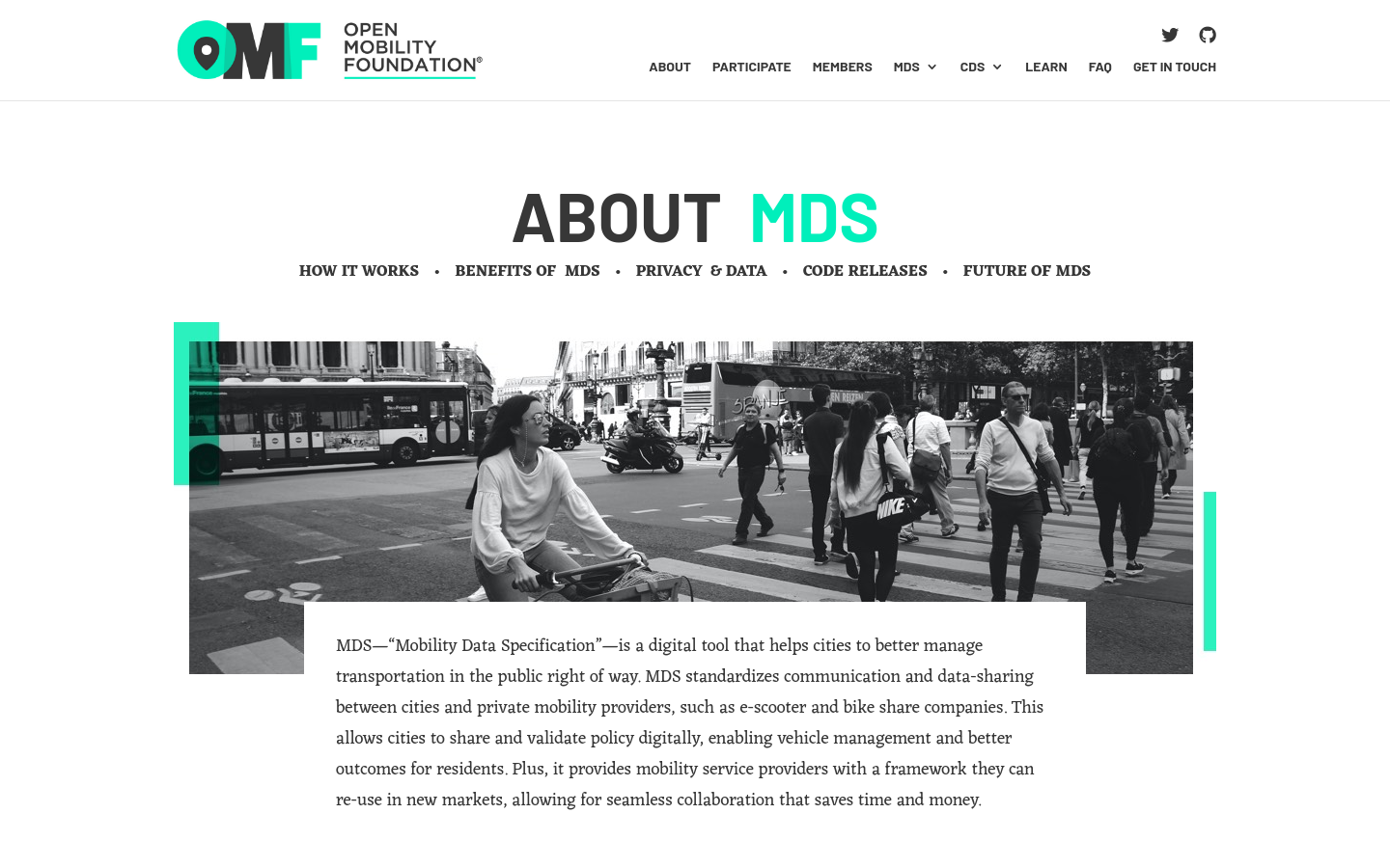
MDS standardizes communication and data-sharing between cities and private mobility providers, such as e-scooter and bike-share companies.

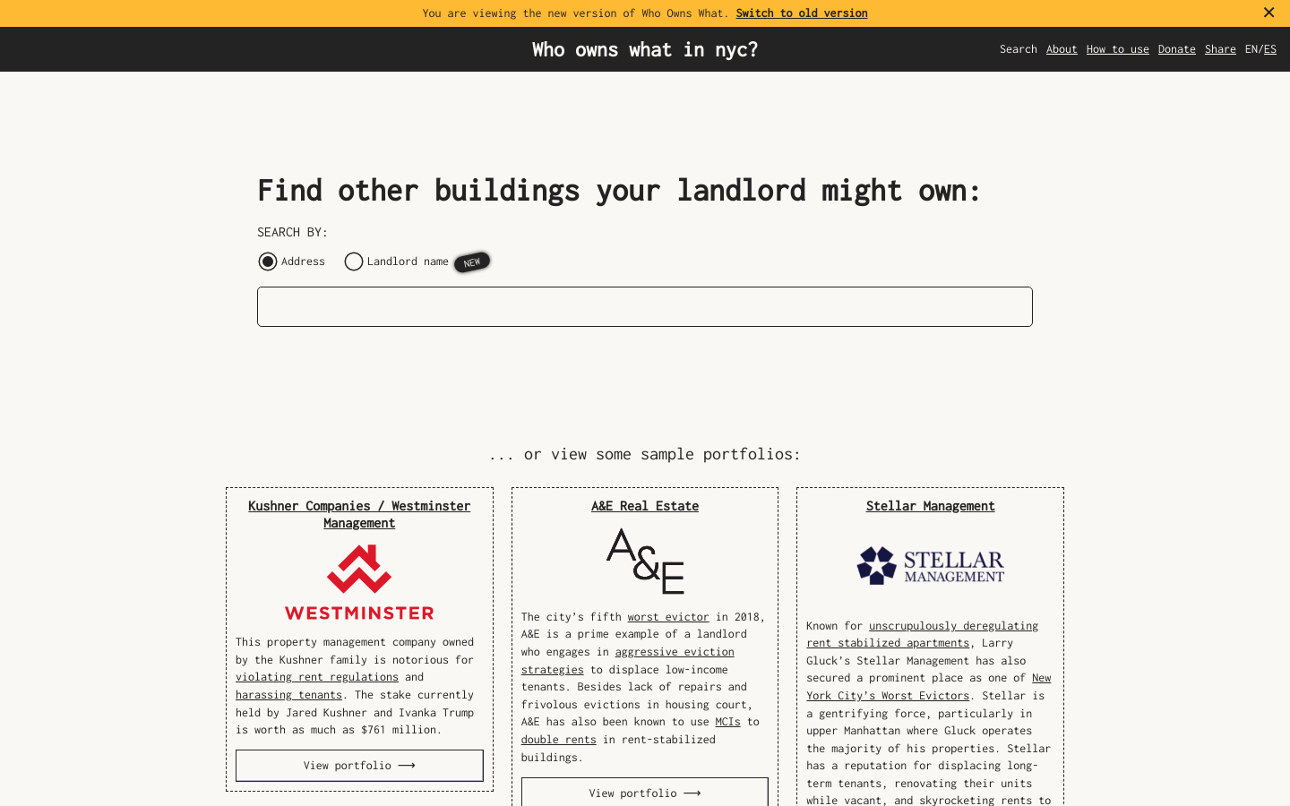
Use this free tool from JustFix to research your building and investigate landlords! We use property ownership mapping to identify a landlord's portfolio

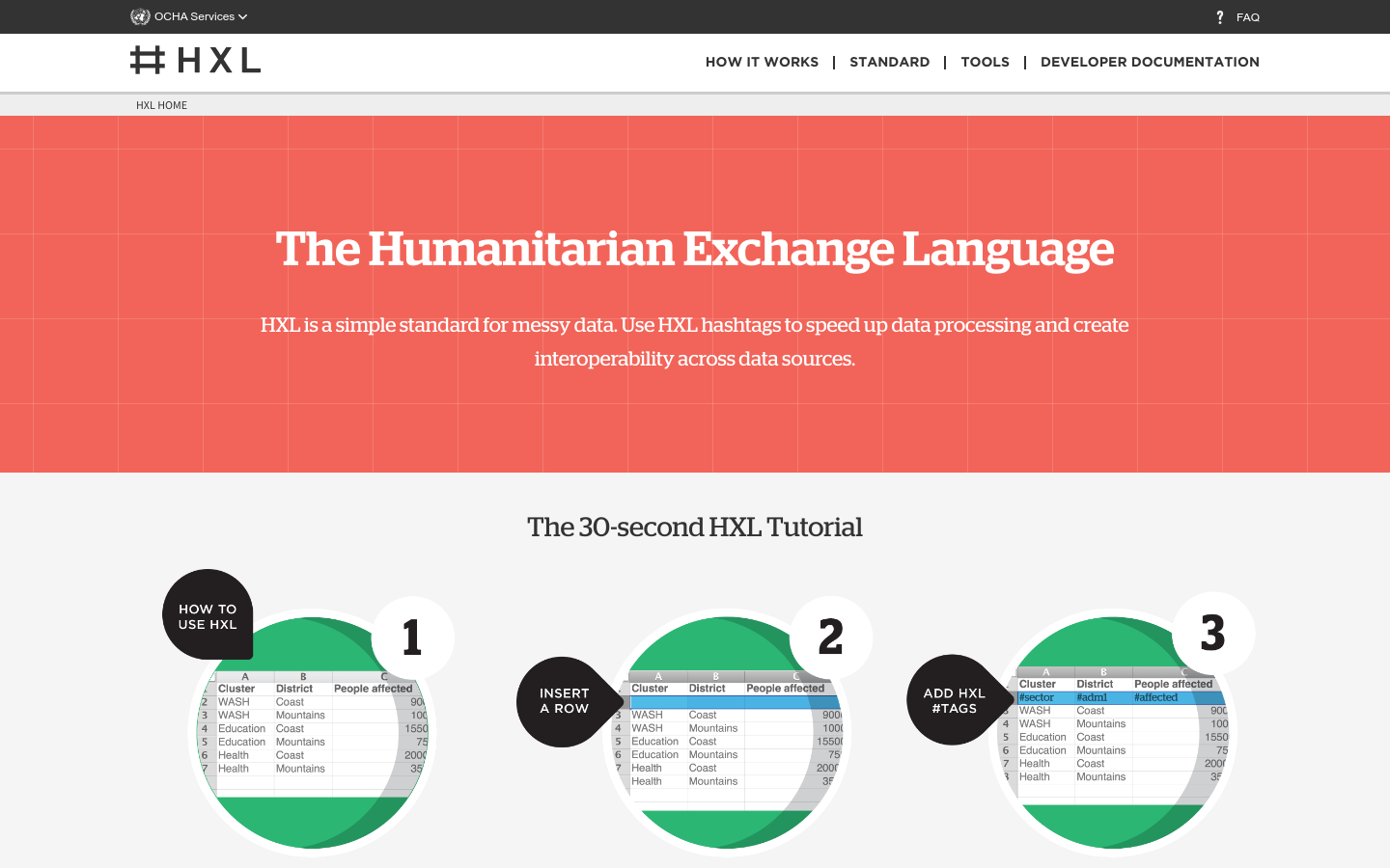
HXL is a different kind of data standard, designed to improve information sharing during a humanitarian crisis without adding extra reporting burdens.