
Satellite Eye
Satellite Eye is a free web-based imaging-satellite pass tracker from the space-tracking site Orbital Radar that estimates how often Earth-observation satellites pass over any location and gives it an A-to-F "surveillance score".
2026

The Under the Surface project, coordinated by Arena for Journalism in Europe and initiated by Datadista, delved into official data from European countries to reveal, for the first time, the extent of the danger we face.
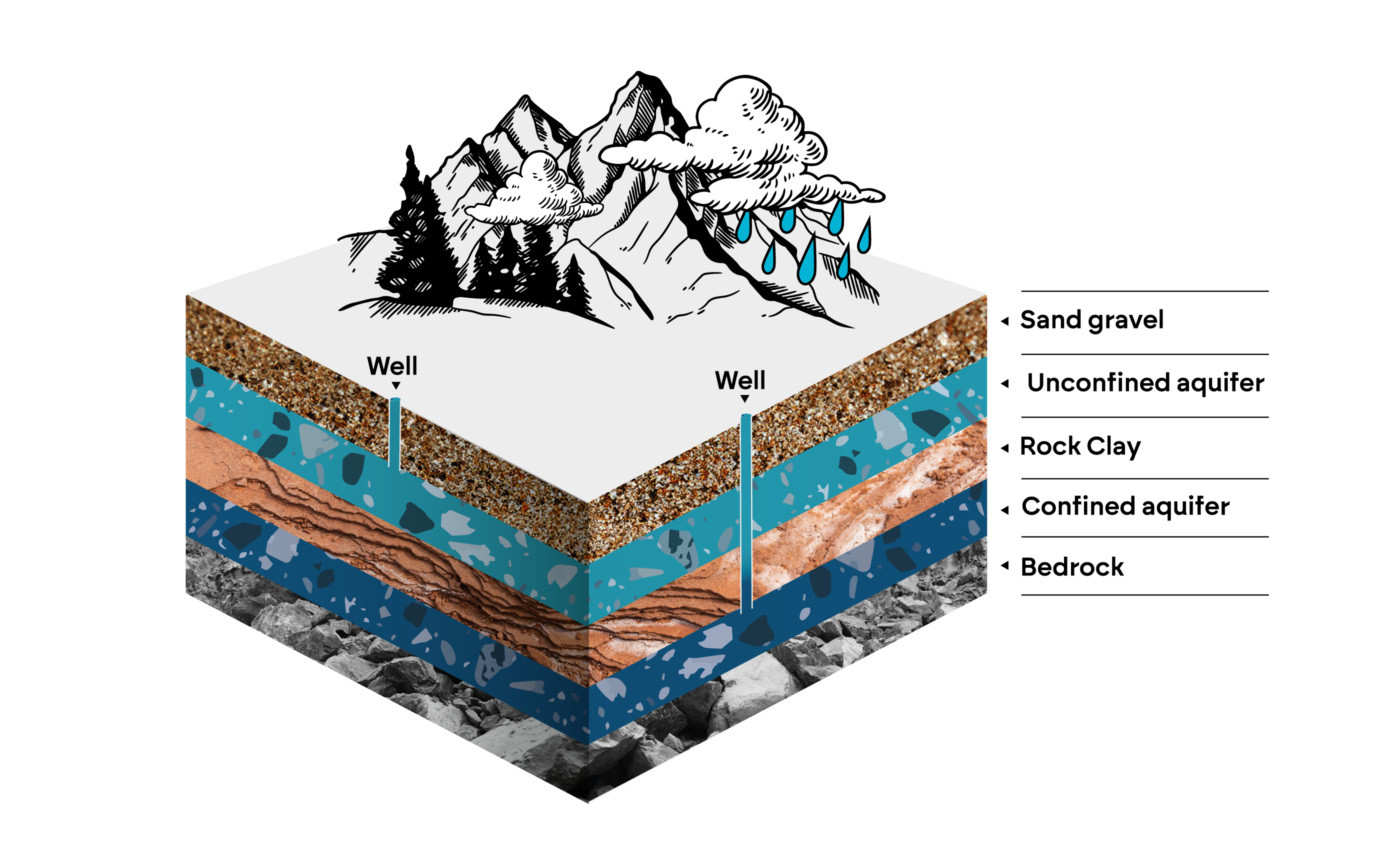
By Zeynep Sentek, Jelena Prtorić, Sarah Pilz Altogether, 14 journalists from seven countries analysed the most up-to-date EU figures and created an interactive map of Europe’s aquifers. The conclusion is that our water is disappearing and what remains is facing near-irreversible pollution. Over 15% of the aquifers mapped are in poor condition — dangerously overexploited, contaminated or both. This figure represents 26% of the aquifers by surface area. And the worst affected are important crop-producing countries, like Spain, France, Belgium, and the Netherlands.
Satellite Eye is a free web-based imaging-satellite pass tracker from the space-tracking site Orbital Radar that estimates how often Earth-observation satellites pass over any location and gives it an A-to-F "surveillance score".

Flock Surveillance Map is an independent surveillance-transparency map that plots the locations and status of Flock Safety camera and drone devices across the United States.

AURA ENGINE is an experimental automated "kindness engine" for New York City that carries out small online good deeds, each logged with a receipt, and maps the mood of each borough.

he Bay Dashboard is an independent, student-built civic dashboard that gathers scattered public planning records across all 101 Bay Area cities, what's being built near you, which board decides it, and when it meets, into one resident-facing tracker with plain-English meeting summaries.

Street by street. Explore San Jose, California crash records from 2020–2024. Compare intersections, roads and serious-injury patterns using official sources. Hotspot layers are enabled only after coordinate and duplicate checks. Independent analysis of official sources; not a City of San José website.