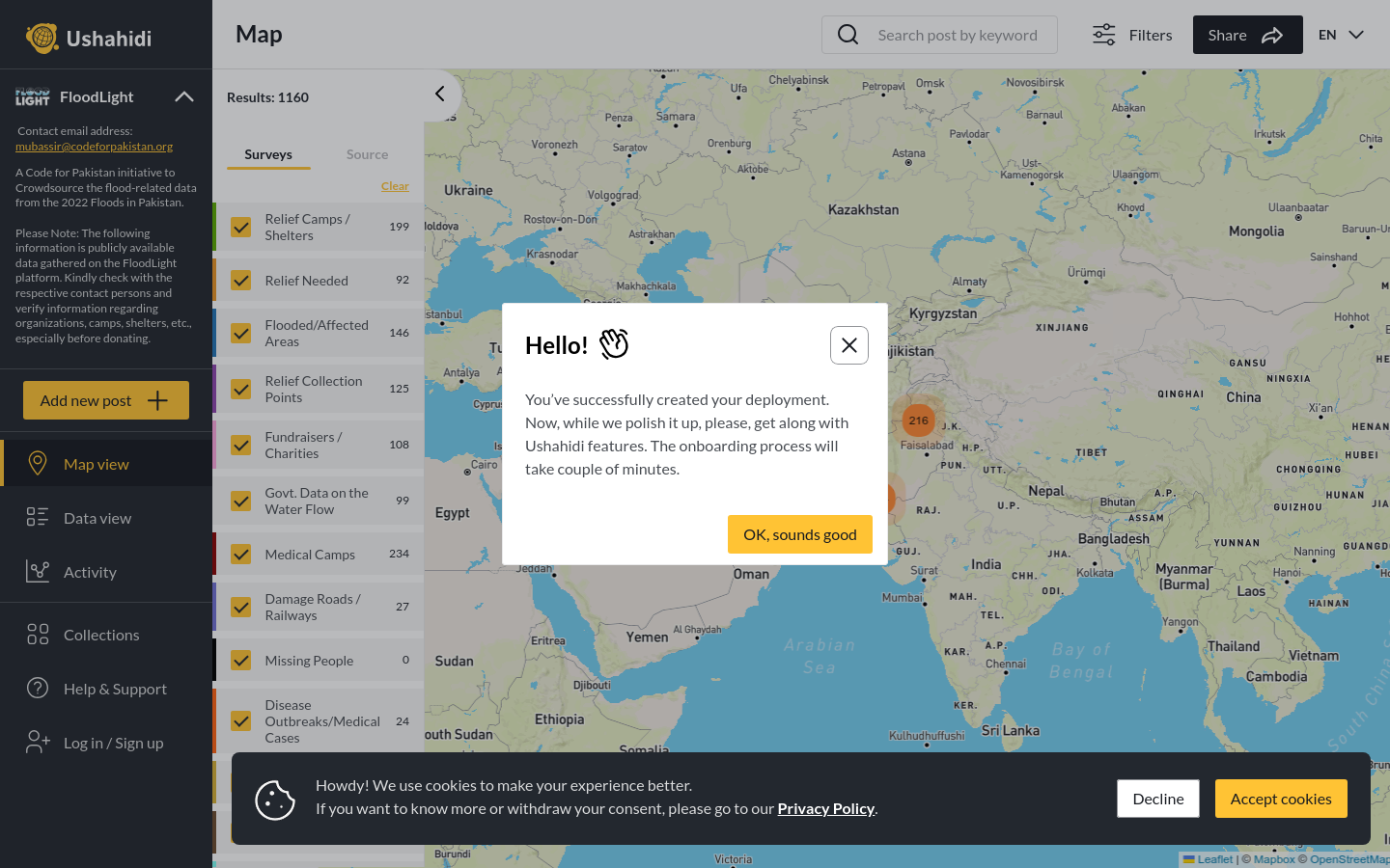
FloodLight
A Code for Pakistan initiative to Crowdsource the flood-related data from the 2022 Floods in Pakistan.
Pakistan
2022
floods

The tool provides Sea Level Rise Maps for New York City, integrating the best available FEMA flood hazard data for each location with information on future sea level rise from two different peer-reviewed sources.
NOAA, in partnership with FEMA, USACE, USGCRP, and CEQ has created a set of map services and related tools to help communities, residents, and other stakeholders consider risks from future sea level rise in planning for reconstruction following Hurricane Sandy. Even if current storm patterns remain the same in the future, sea level rise will increase the impact of coastal flooding during storms. We have resources that help us quantify current risk, such as FEMA’s Most Recent Flood Hazard Data for affected areas of New York and New Jersey, but these do not provide information on future risks. For these New York City maps, the map services integrate FEMA's most recent (SFHA) with regional scenarios of sea level rise developed developed by the New York Panel on Climate Change (NPCC). The NPCC 2013 scenarios and are based on similar global sea level rise assumptions as the NOAA 2012 scenarios. Collectively, this integrated set of products can help decision makers plan for the future risks posed by sea level rise remain flexible and adaptive in the face of environmental change.
A Code for Pakistan initiative to Crowdsource the flood-related data from the 2022 Floods in Pakistan.
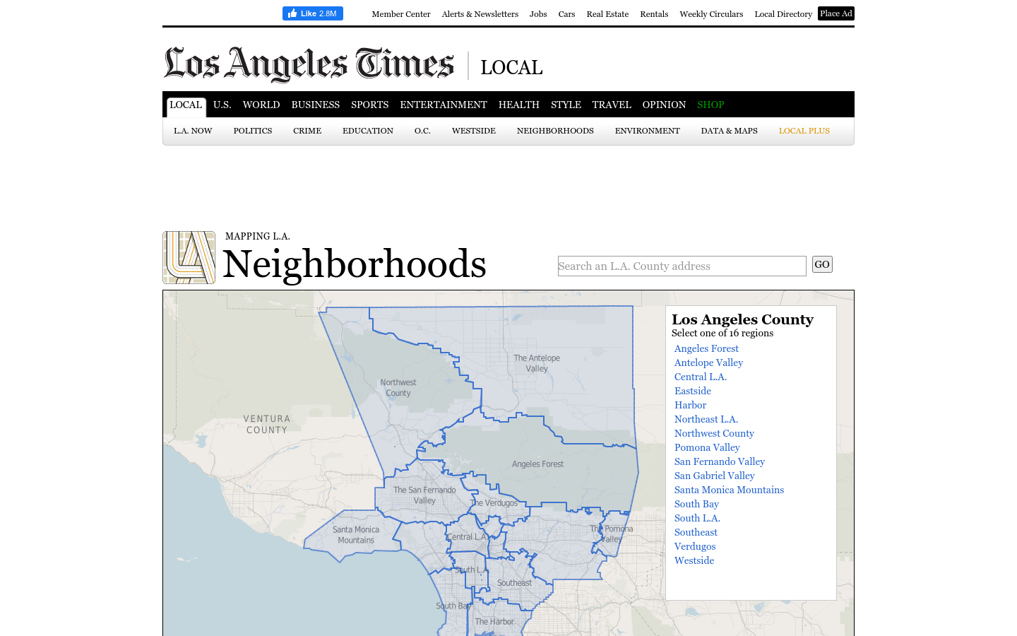
This regional view is your portal to individual maps and statistics for 158 cities and unincorporated places and 114 neighborhoods within the city of Los Angeles.
A 12-year retrospective of problems that have bothered Bangkok residents | สำรวจปัญหากวนใจชาว กทม.
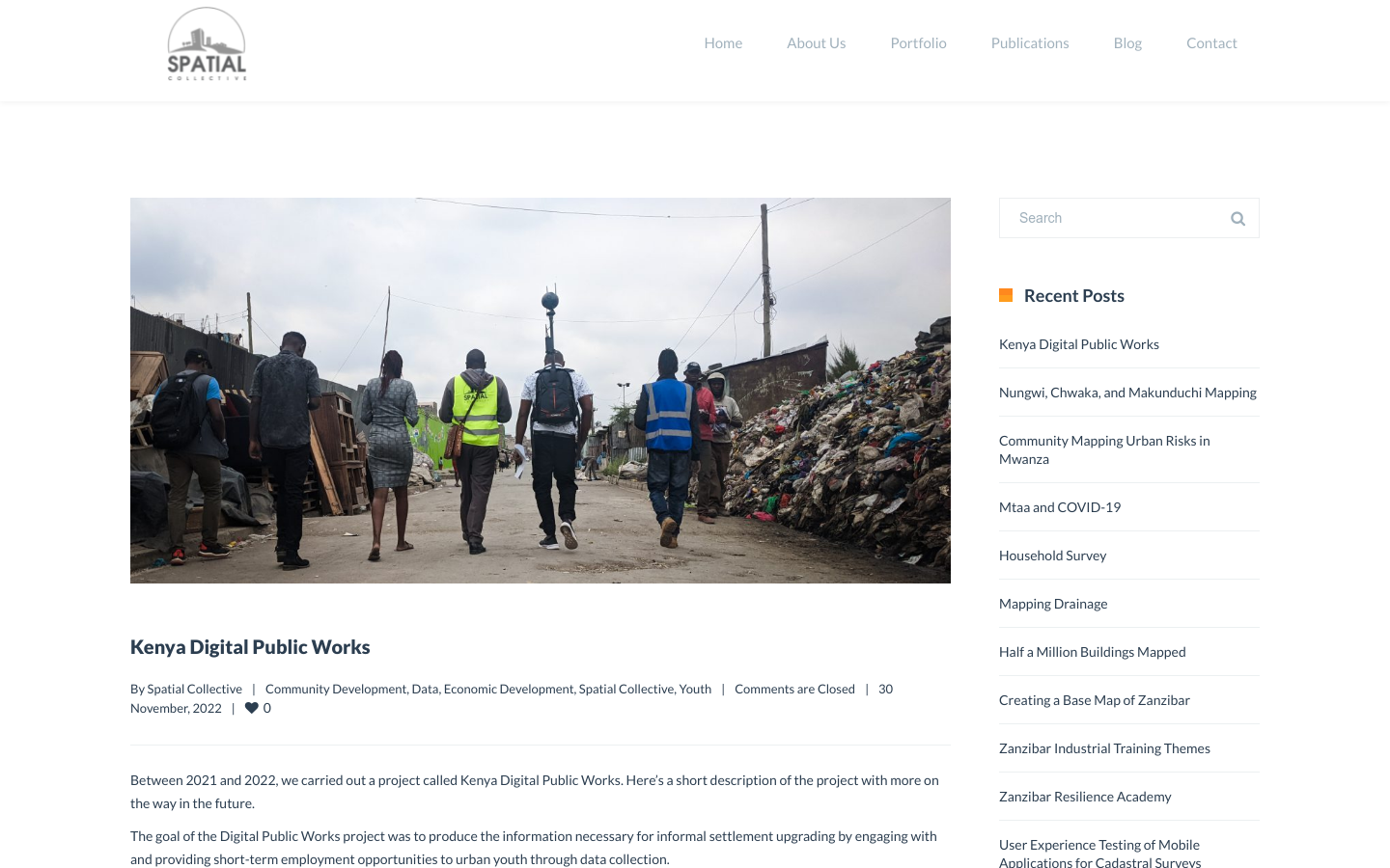
"DPW set out to answer a question: Can the youth use affordable and widely available technologies to gather the information necessary to support informal settlement upgrading?"