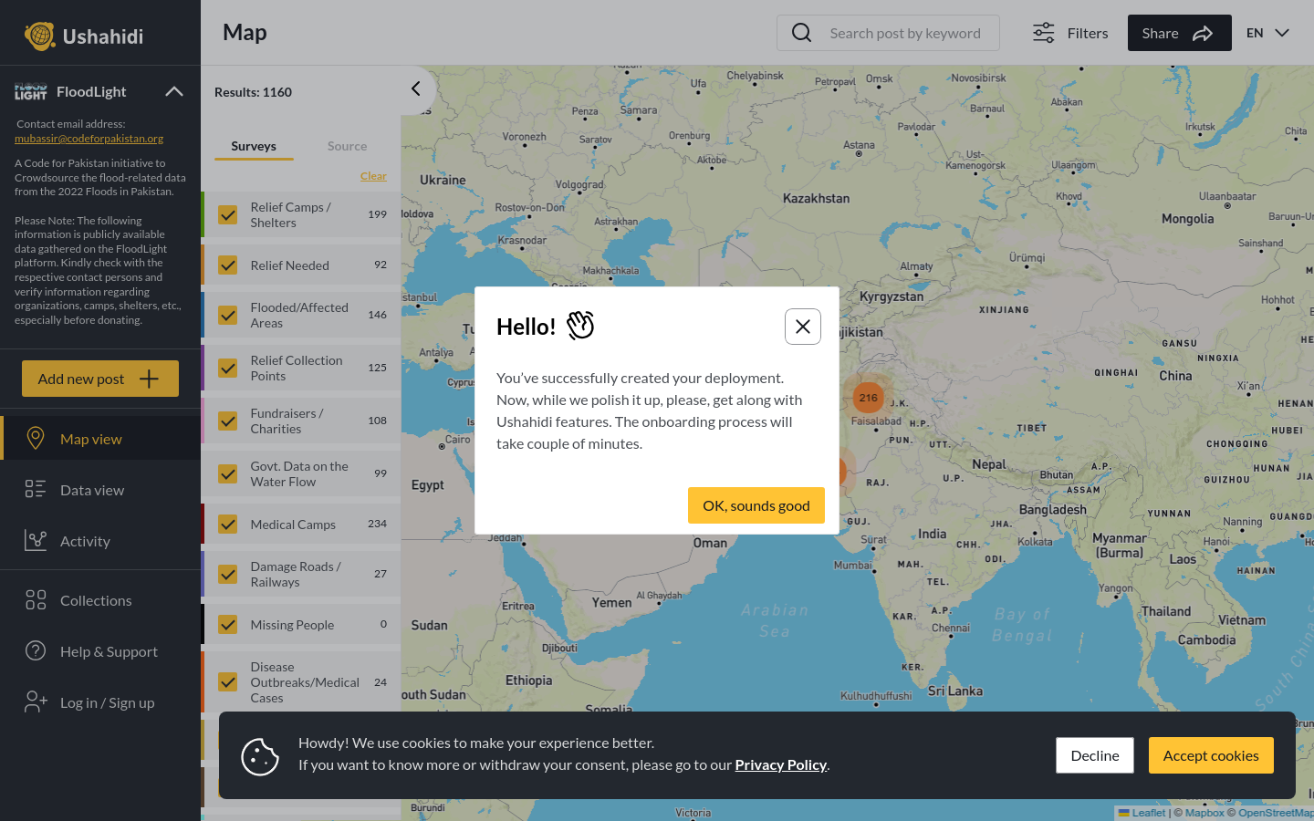
FloodLight
A Code for Pakistan initiative to Crowdsource the flood-related data from the 2022 Floods in Pakistan.
Pakistan
2022
floods

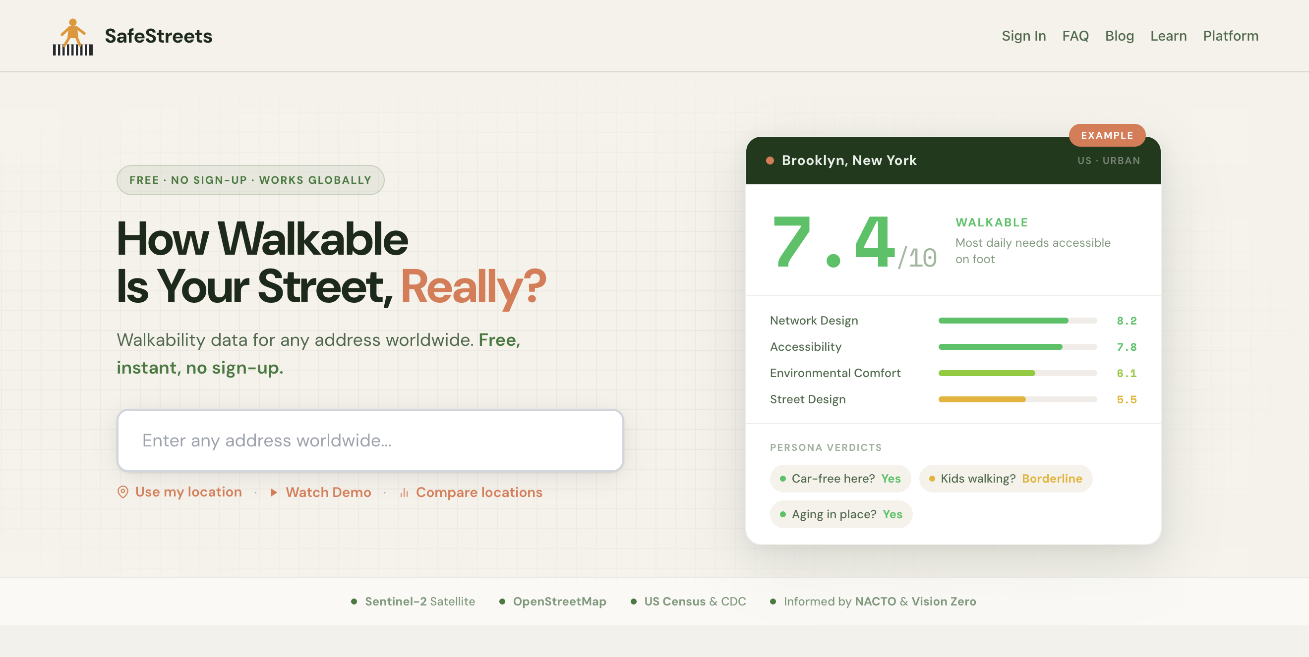
Free walkability and pedestrian safety analysis for any street address globally, scoring streets using OpenStreetMap, satellite imagery, and open government data.
SafeStreets began in late 2025 out of Streets & Commons, a civic tech initiative based in Southeast Asia. It's built for two audiences: citizens who want evidence to bring to local government about unsafe streets, and urban planners who need data to justify infrastructure spending. The tool analyzes any street address globally and produces a 0-100 walkability score across four components (network design, environment, accessibility, and street design) using OpenStreetMap, Sentinel-2 satellite imagery, and open government data. No account required, works in 190+ countries. We've been piloting in Chiang Mai, Thailand, where municipalities spend millions on street improvements but allocate nothing for systematic pedestrian audits. The tool generates the evidence that fills that gap. People can help by using the tool on their own street, reporting results to local government, and contributing pedestrian infrastructure tags to OpenStreetMap in underrepresented cities.
A Code for Pakistan initiative to Crowdsource the flood-related data from the 2022 Floods in Pakistan.
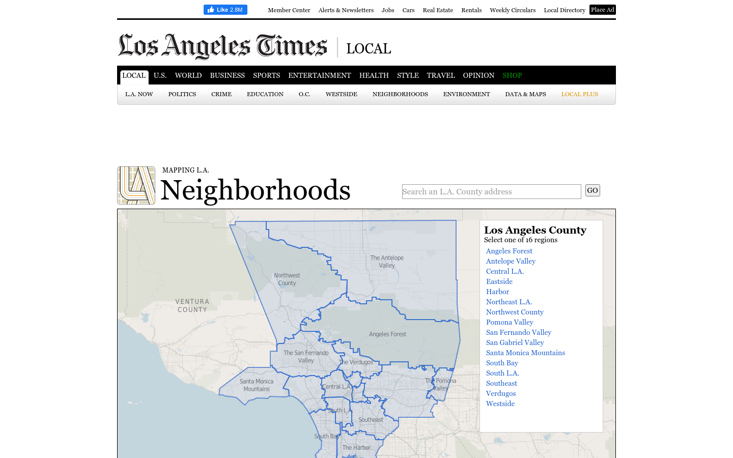
This regional view is your portal to individual maps and statistics for 158 cities and unincorporated places and 114 neighborhoods within the city of Los Angeles.
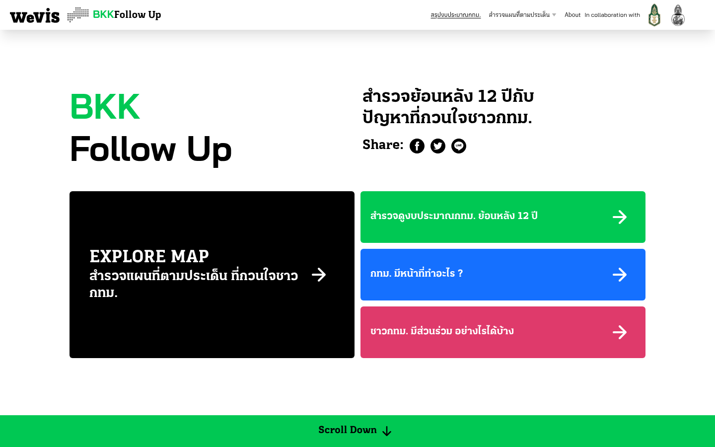
A 12-year retrospective of problems that have bothered Bangkok residents | สำรวจปัญหากวนใจชาว กทม.
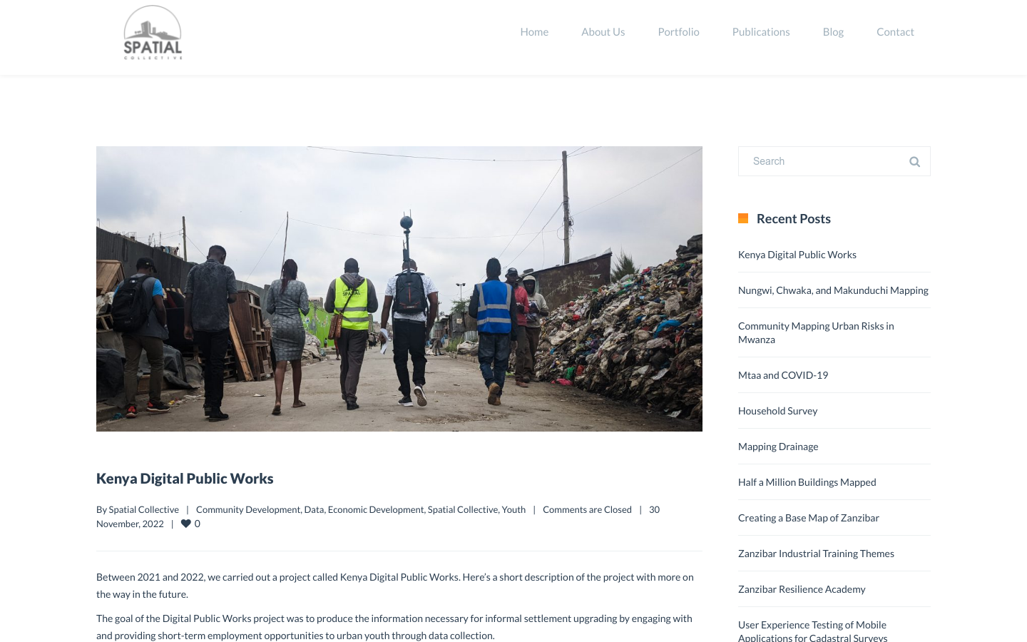
"DPW set out to answer a question: Can the youth use affordable and widely available technologies to gather the information necessary to support informal settlement upgrading?"