Transparency & Accountability Initiative Grants Database
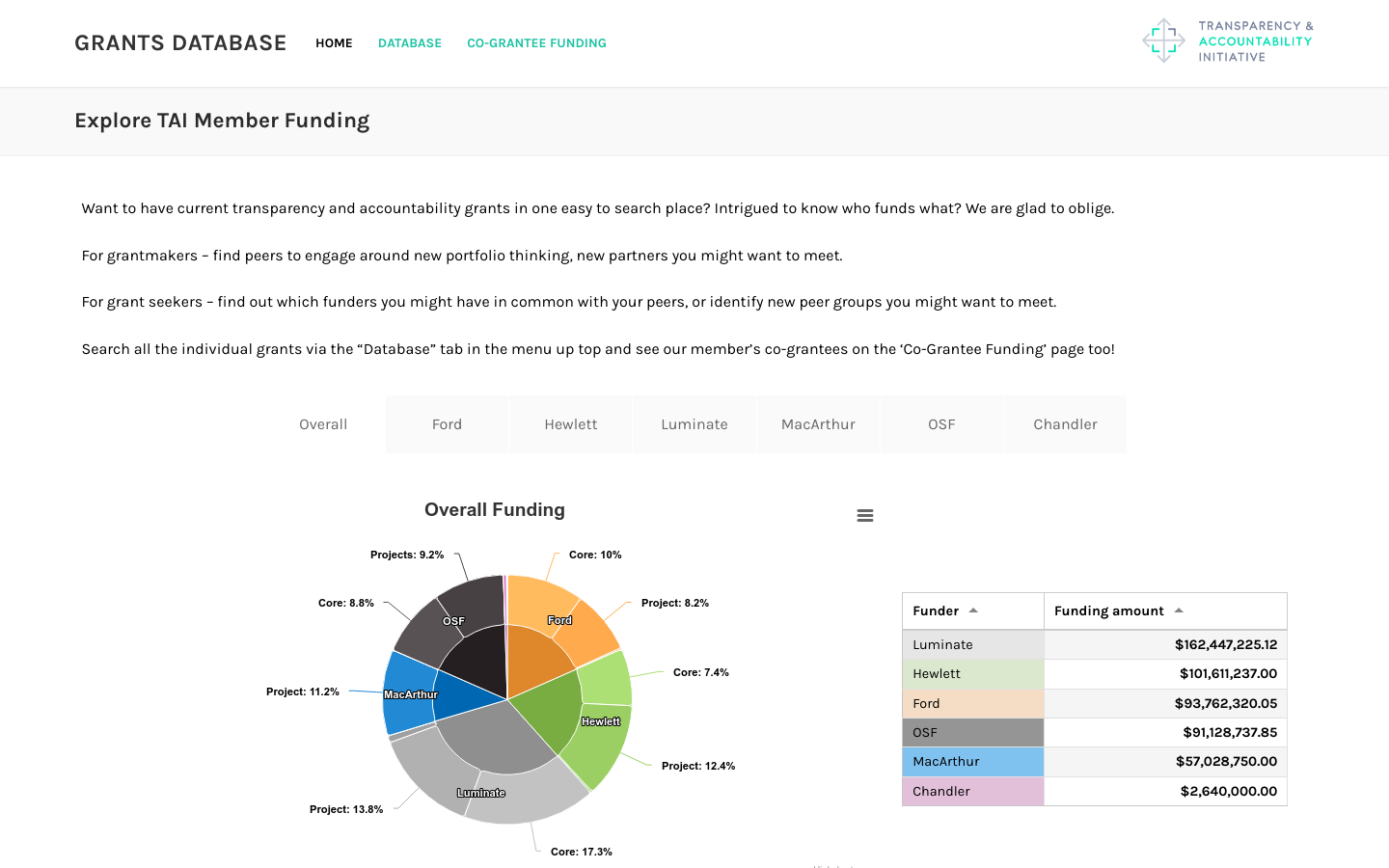
Includes funding from Ford, Hewlett, Luminate, MacArthur, OpenSocietyFoundation, and Chandler foundations totaling over half a billion dollars
Powering current and next-generation map products by creating reliable, easy-to-use, and interoperable open map data
The GA release includes four themes, some of which are already informing use cases: Buildings. Includes 2.3 billion unique building footprints worldwide. It already powers Microsoft’s Bing Maps, Esri’s ArcGIS Living Atlas of the World, and Addresscloud’s insurance service platform, which provides insurers flood-level risk metrics for individual buildings. Look for more use cases from things such as property management, other risk assessment, economic development, 3D visualization, and more. Places of Interest. Offers data on nearly 54 million places worldwide, but will expand as new data is added. More broadly, other members can layer social signals, etc. on top of places for their own offerings. Divisions. National and regional administrative boundaries translated into over 40 different languages to support international use. Base. Contextual layers include land and water data and help complete display maps when needed.

Includes funding from Ford, Hewlett, Luminate, MacArthur, OpenSocietyFoundation, and Chandler foundations totaling over half a billion dollars
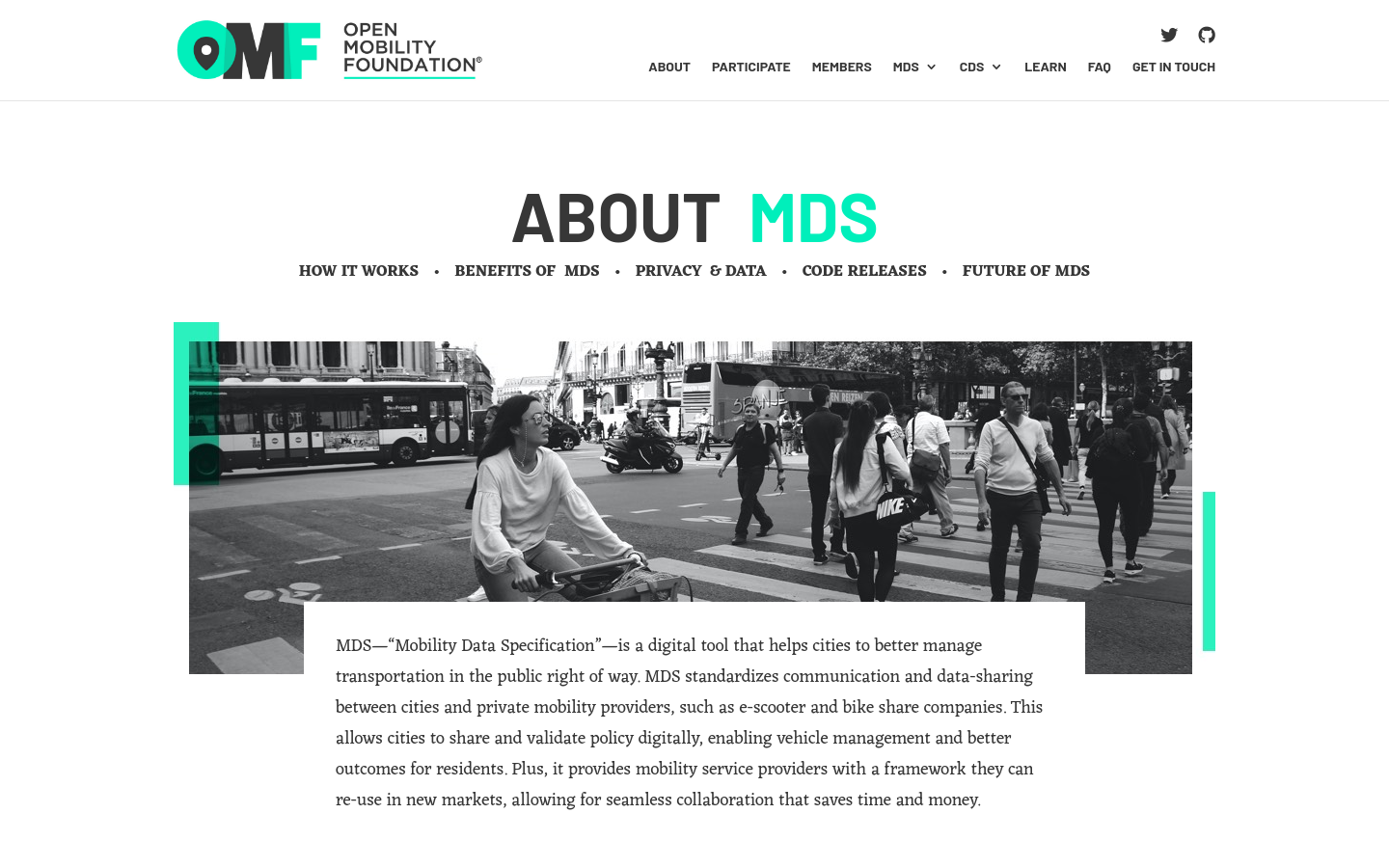
MDS standardizes communication and data-sharing between cities and private mobility providers, such as e-scooter and bike-share companies.

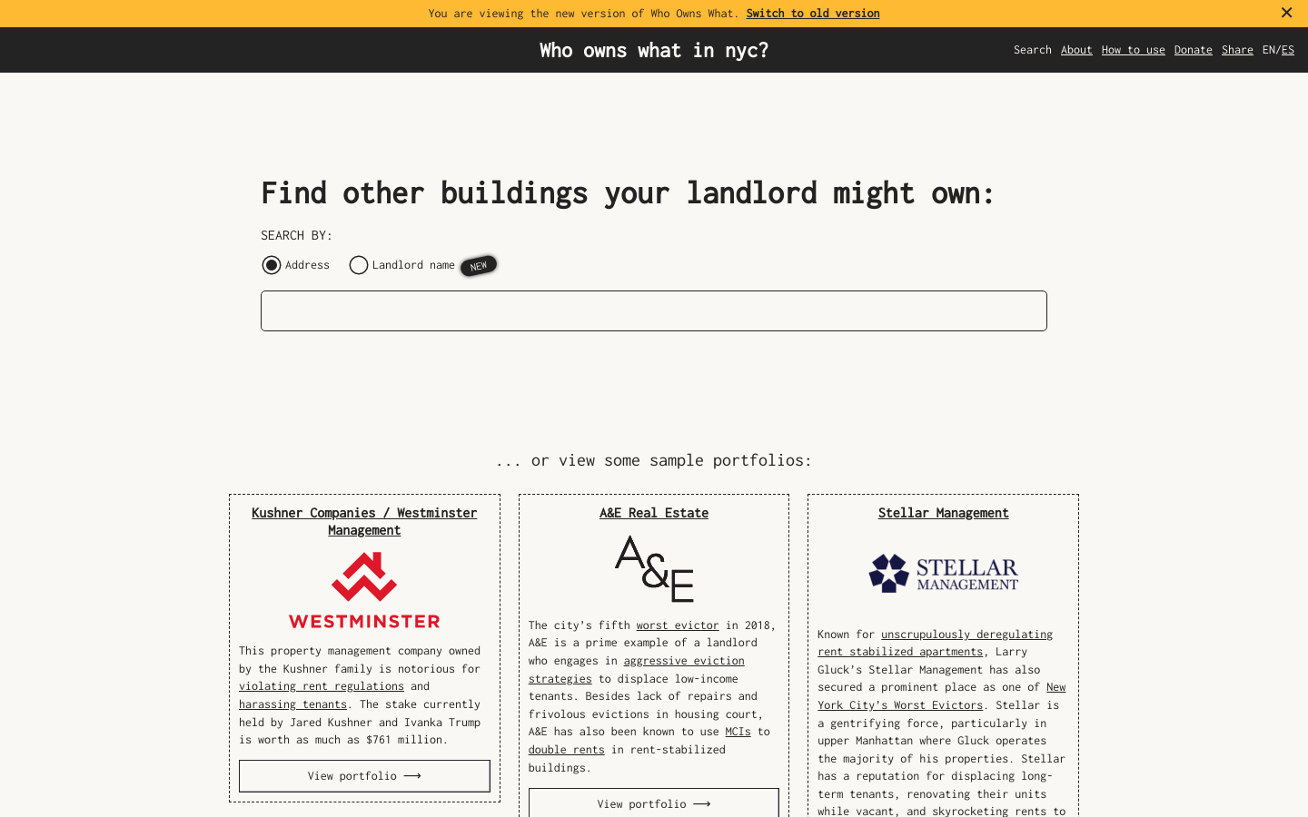
Use this free tool from JustFix to research your building and investigate landlords! We use property ownership mapping to identify a landlord's portfolio

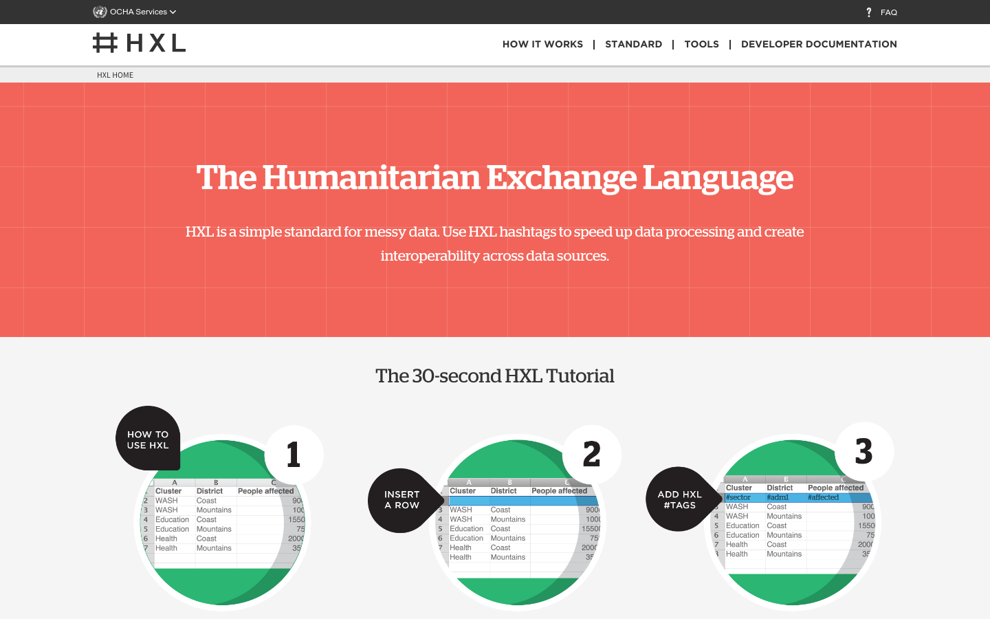
HXL is a different kind of data standard, designed to improve information sharing during a humanitarian crisis without adding extra reporting burdens.