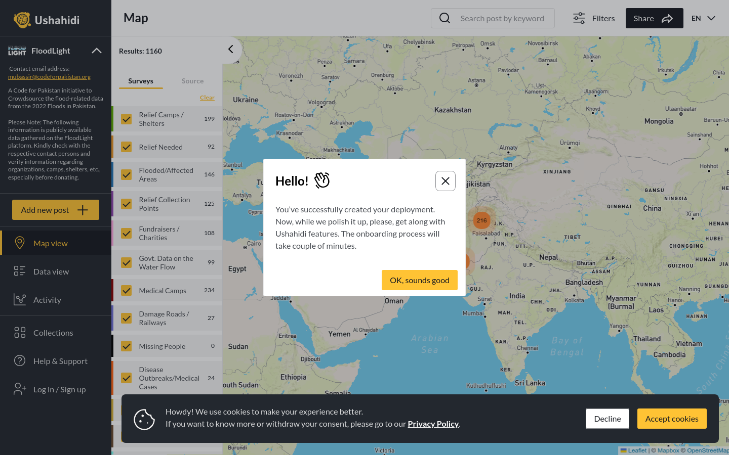
FloodLight
A Code for Pakistan initiative to Crowdsource the flood-related data from the 2022 Floods in Pakistan.
Pakistan
2022
floods

Using GPS mapping technology, Nidoroualmewaafe identifies areas that do not have access to safe drinking water and shares this information with local authorities and communities to inform decision-making.
The project aims to provide decision makers, government and donors with valuable ideas to guide targeted solutions at the local level. The overall objective of the project is to identify, using GPS technology, areas which do not have access to drinking water and which need a healthy living environment by locating these critical areas on maps in order to respond effectively to the needs expressed by citizens. **Health impacts** Reduction in the incidence of: waterborne diseases (diarrhea, typhoid, cholera); diseases due to lack of hygiene (scabies, trachoma, etc.); diseases of aquatic origin (guinea worm). **Social impacts** Reduction in fetching water for women and children; education of young girls; capacity building of beneficiaries; limitation of rural exodus towards other cities; organization of communities and promotion of future open local authorities. **Economic impacts** The availability of drinking water a short distance from users saves time for women in fetching water; this saved time can allow women to develop other income-producing activities.
A Code for Pakistan initiative to Crowdsource the flood-related data from the 2022 Floods in Pakistan.
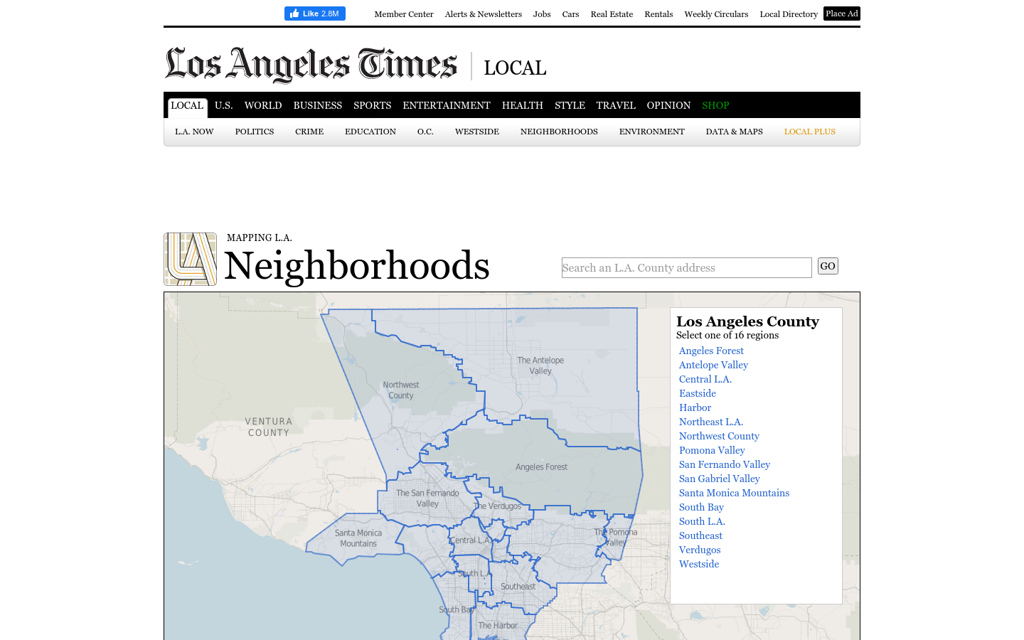
This regional view is your portal to individual maps and statistics for 158 cities and unincorporated places and 114 neighborhoods within the city of Los Angeles.
A 12-year retrospective of problems that have bothered Bangkok residents | สำรวจปัญหากวนใจชาว กทม.
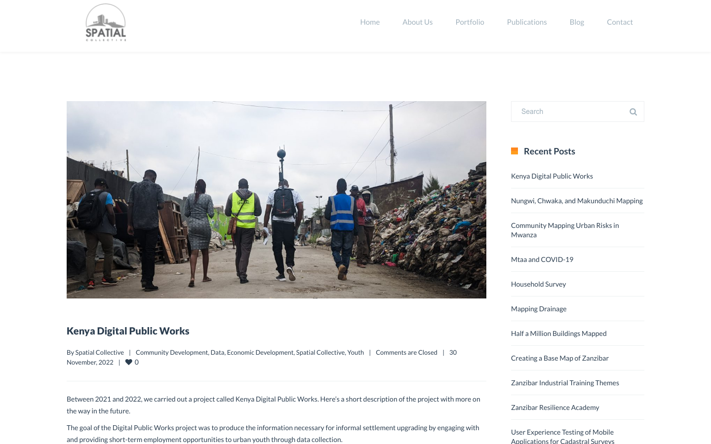
"DPW set out to answer a question: Can the youth use affordable and widely available technologies to gather the information necessary to support informal settlement upgrading?"