Transparency & Accountability Initiative Grants Database
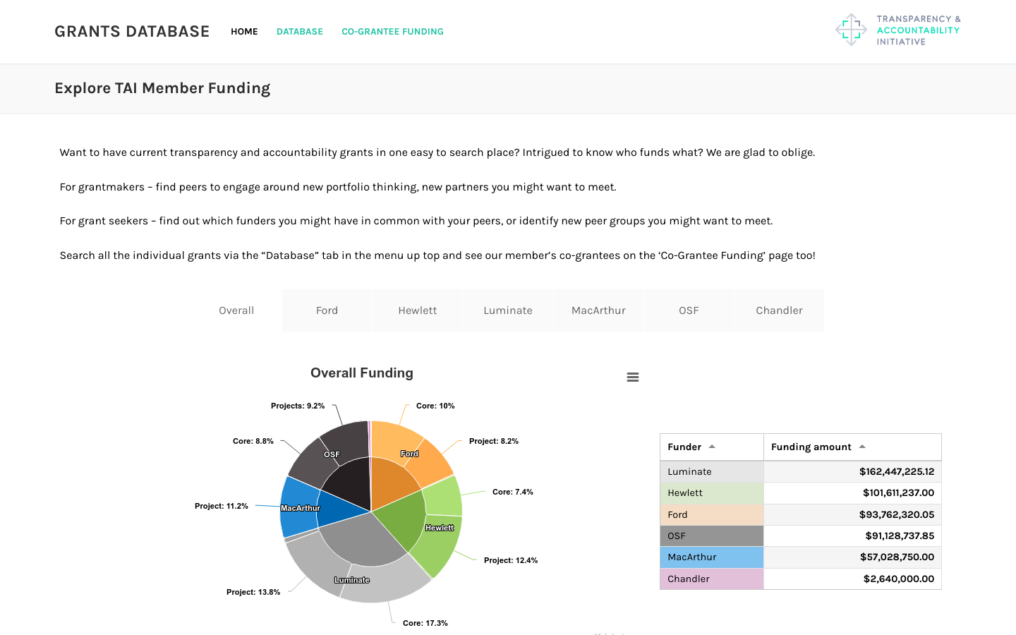
Includes funding from Ford, Hewlett, Luminate, MacArthur, OpenSocietyFoundation, and Chandler foundations totaling over half a billion dollars
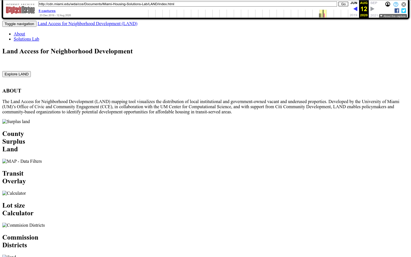
The Land Access Neighborhood Development (LAND) mapping tool visualizes the distribution of local institutional and government-owned vacant, as well as underused properties.
Developed by the University of Miami (UM)’s Office of Civic and Community Engagement (CCE), in collaboration with the UM Institute for Data Science and Computing, and with support from Citi Community Development, LAND will enable policymakers and community-based organizations to identify potential development opportunities for affordable housing in transit-served areas and other uses that benefit the community.
University of Miami's Office of Civic and Community Engagement


Includes funding from Ford, Hewlett, Luminate, MacArthur, OpenSocietyFoundation, and Chandler foundations totaling over half a billion dollars
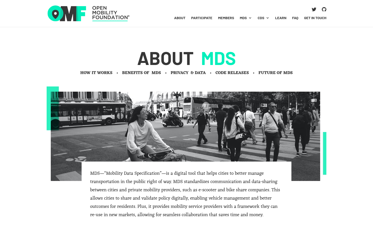
MDS standardizes communication and data-sharing between cities and private mobility providers, such as e-scooter and bike-share companies.

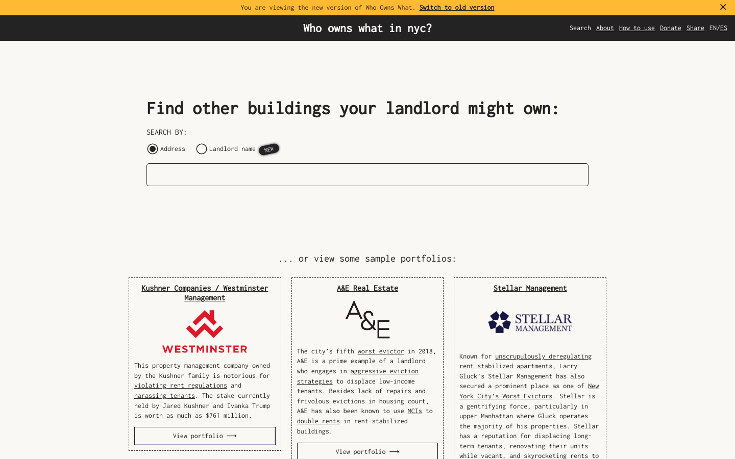
Use this free tool from JustFix to research your building and investigate landlords! We use property ownership mapping to identify a landlord's portfolio

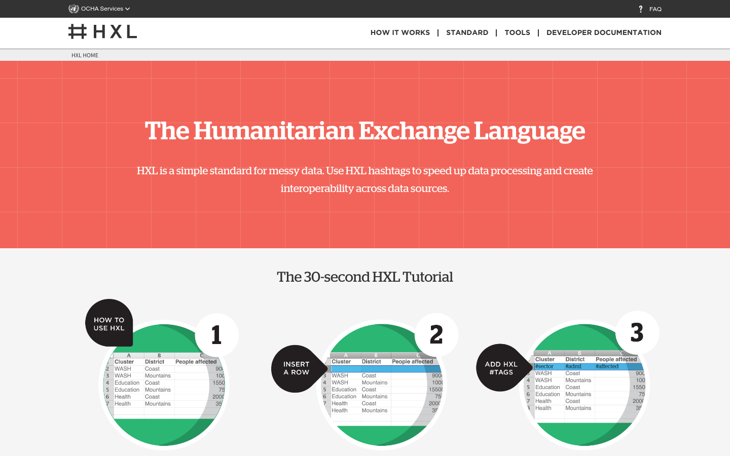
HXL is a different kind of data standard, designed to improve information sharing during a humanitarian crisis without adding extra reporting burdens.