Transparency & Accountability Initiative Grants Database
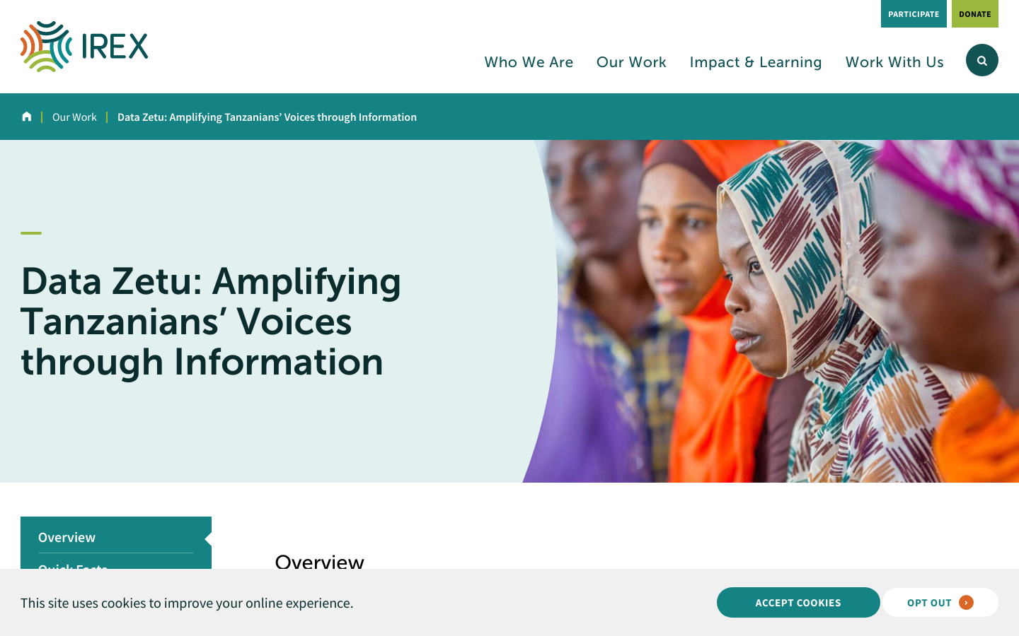
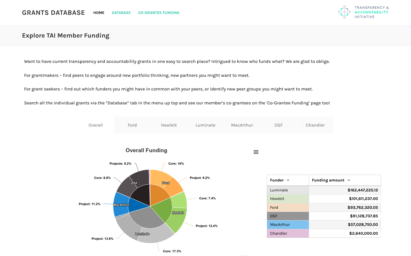
Includes funding from Ford, Hewlett, Luminate, MacArthur, OpenSocietyFoundation, and Chandler foundations totaling over half a billion dollars
電子地図を活用して地域を科学的に理解し、データリテラシーと分析スキルを育成する教育プロジェクト。
This project provides an educational resource that helps students and educators understand their local region through digital maps and data analysis. By combining geographic information with statistical data, the project promotes data literacy, spatial thinking, and evidence‑based understanding of communities. Developed and published by Gakujoken (the Institute for School Education Research), the project offers a structured learning experience where learners explore real regional datasets using an interactive digital map tool. The materials are designed for use in schools and community learning settings, supporting inquiry‑based learning and civic understanding. The project aims to make data literacy accessible to all learners by enabling them to visualize, interpret, and discuss regional characteristics through maps. Although the mapping tool is free to use, it is closed‑source. The educational content was produced under contract with Gakujoken.


Includes funding from Ford, Hewlett, Luminate, MacArthur, OpenSocietyFoundation, and Chandler foundations totaling over half a billion dollars
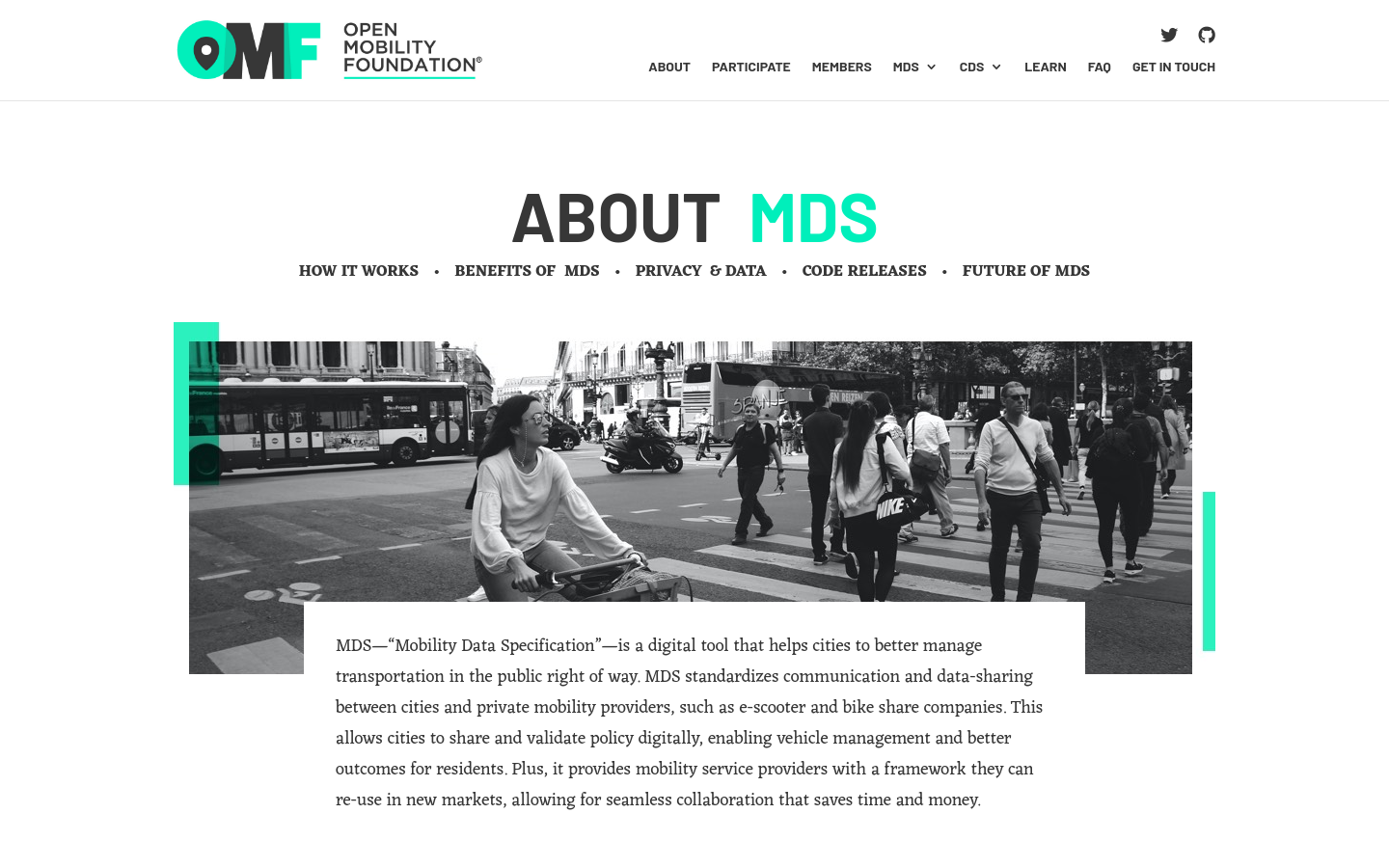
MDS standardizes communication and data-sharing between cities and private mobility providers, such as e-scooter and bike-share companies.

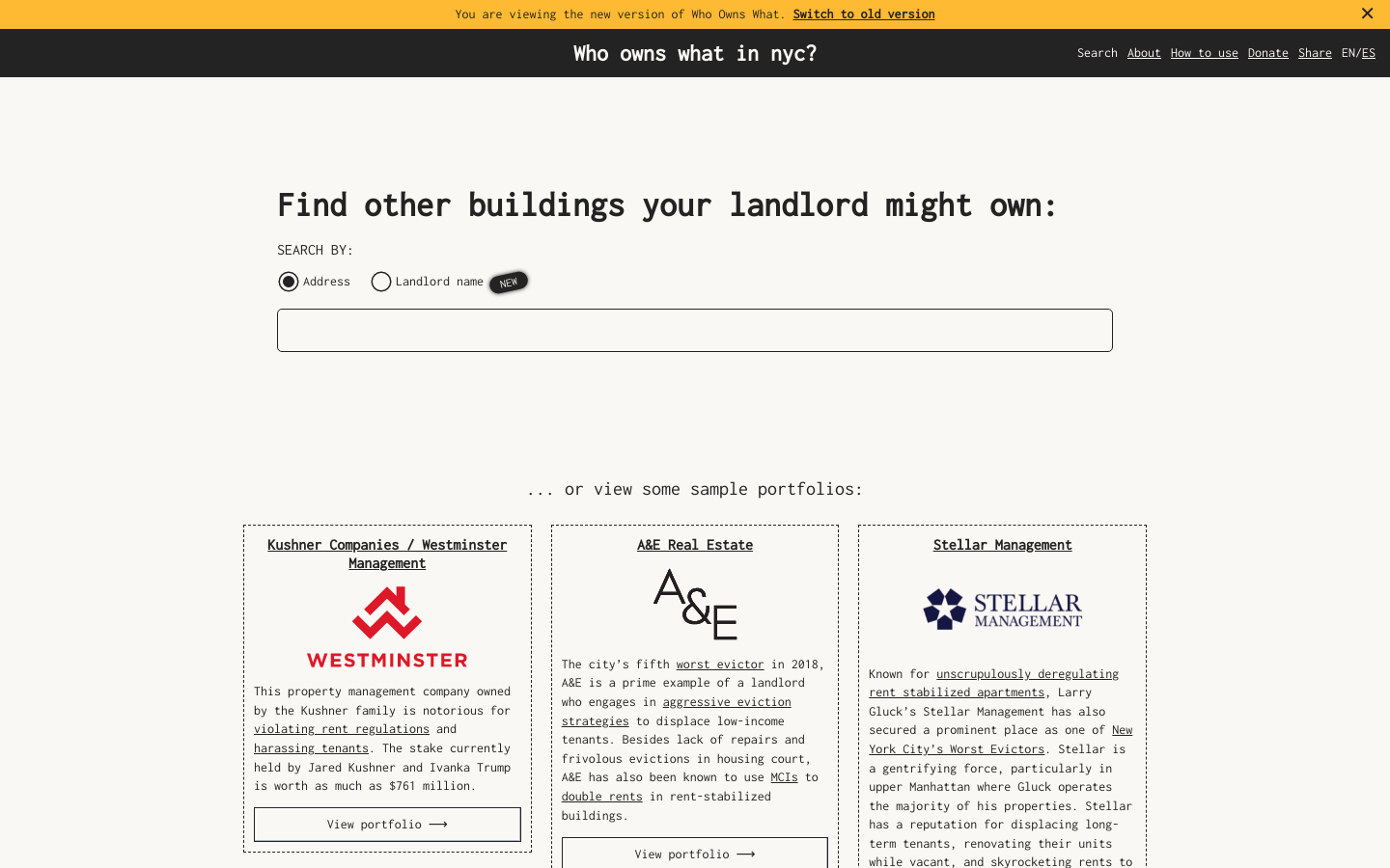
Use this free tool from JustFix to research your building and investigate landlords! We use property ownership mapping to identify a landlord's portfolio

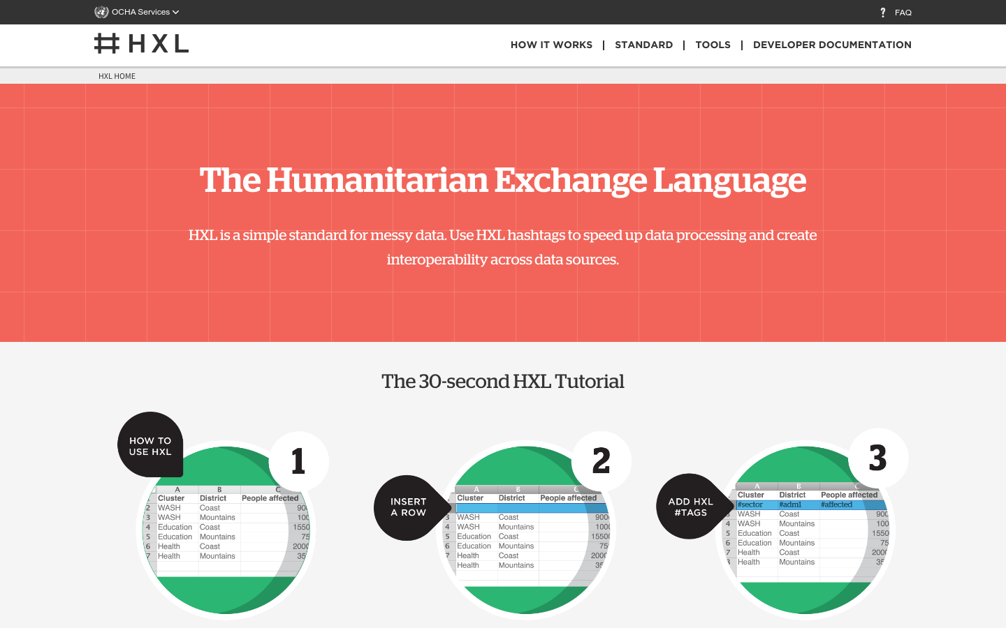
HXL is a different kind of data standard, designed to improve information sharing during a humanitarian crisis without adding extra reporting burdens.