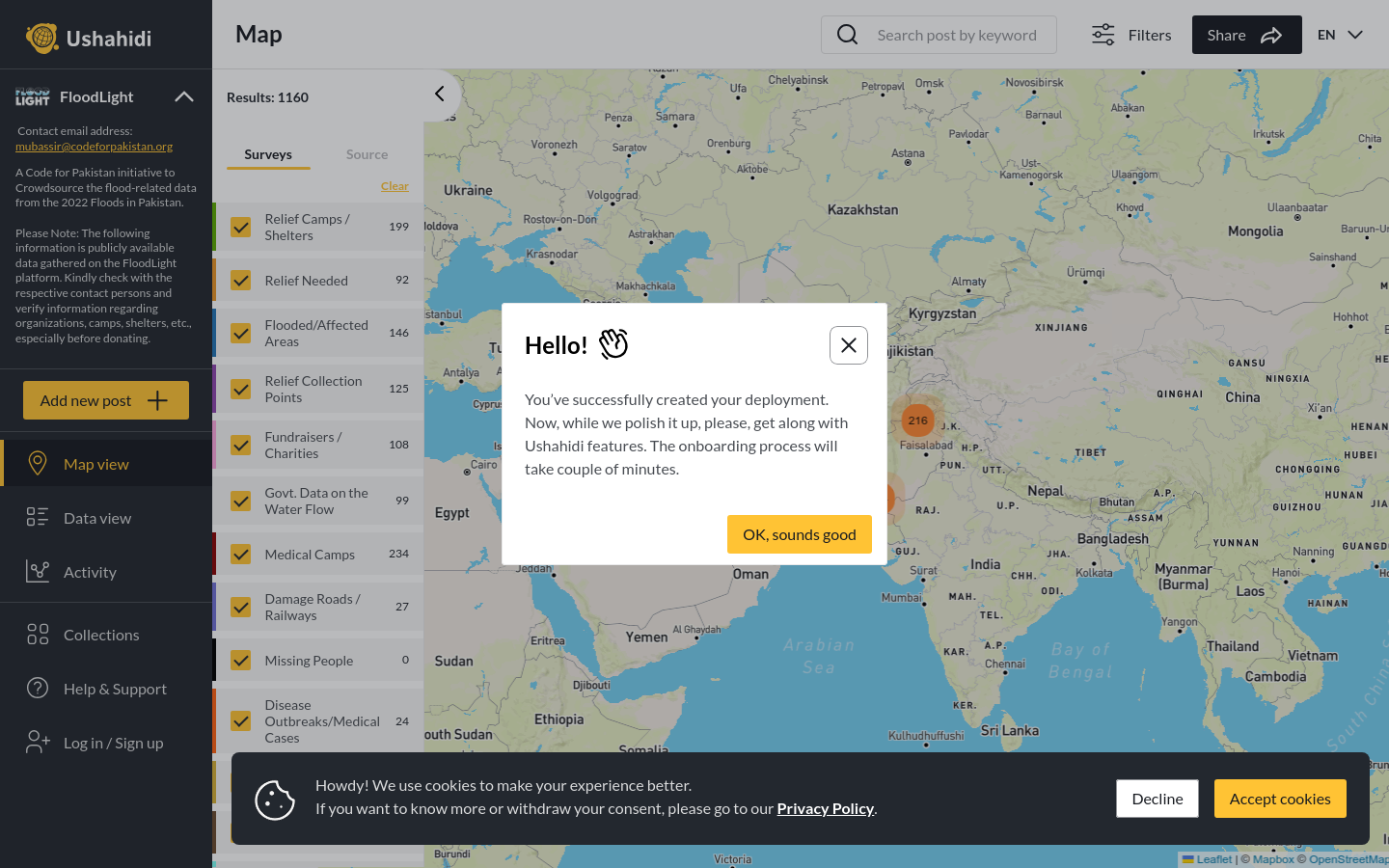
FloodLight
A Code for Pakistan initiative to Crowdsource the flood-related data from the 2022 Floods in Pakistan.
Pakistan
2022
floods

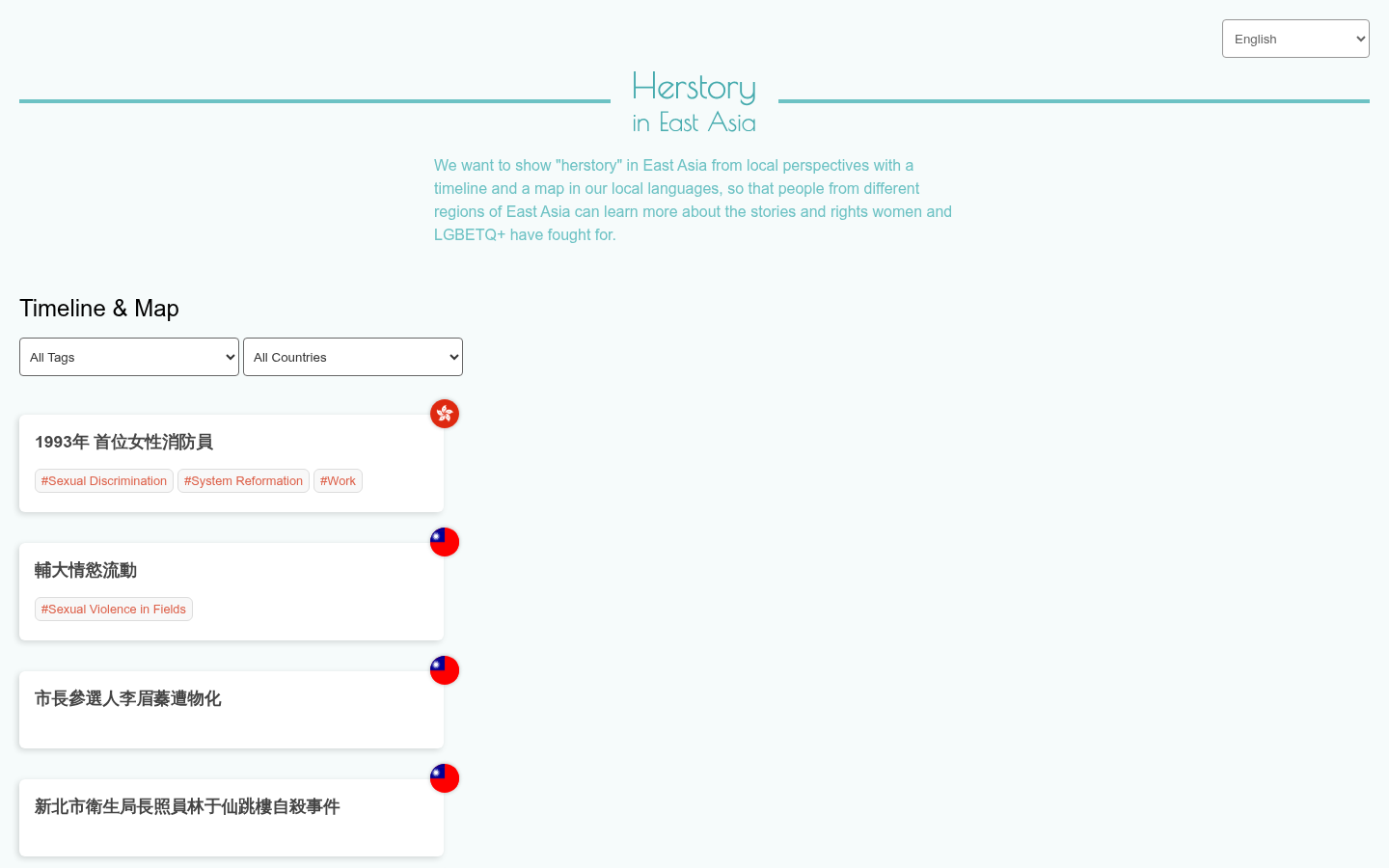
We want to show "herstory" in East Asia from local perspectives with a timeline and a map in our local languages, so that people from different regions of East Asia can learn more about the stories and rights women and LGBETQ+ have fought for.
Parent organization: nullfull
A Code for Pakistan initiative to Crowdsource the flood-related data from the 2022 Floods in Pakistan.
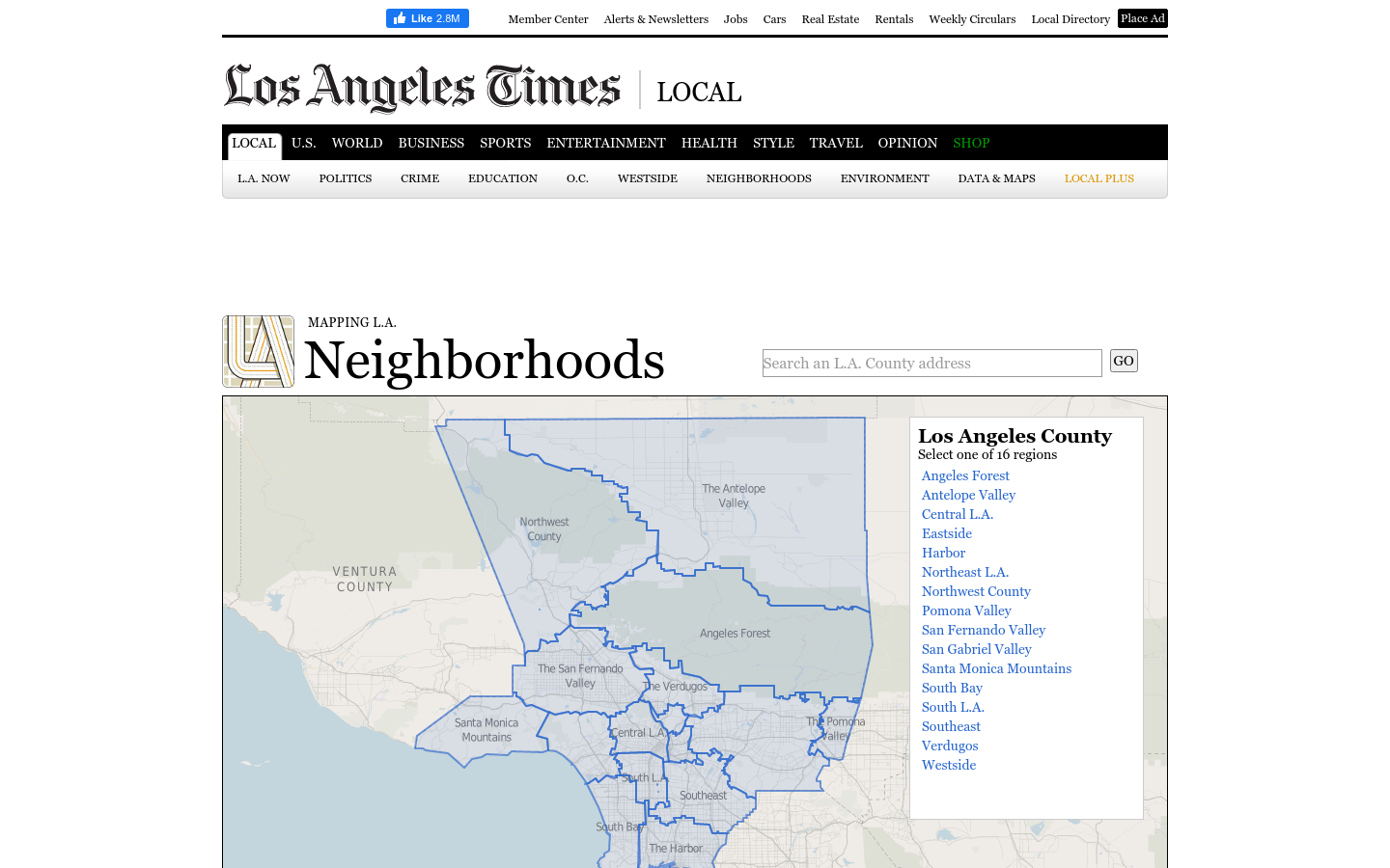
This regional view is your portal to individual maps and statistics for 158 cities and unincorporated places and 114 neighborhoods within the city of Los Angeles.
A 12-year retrospective of problems that have bothered Bangkok residents | สำรวจปัญหากวนใจชาว กทม.
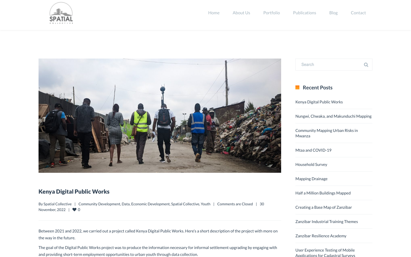
"DPW set out to answer a question: Can the youth use affordable and widely available technologies to gather the information necessary to support informal settlement upgrading?"