Civic Tech Field Guide
Donate

https://data.apps.fao.org/?lang=en

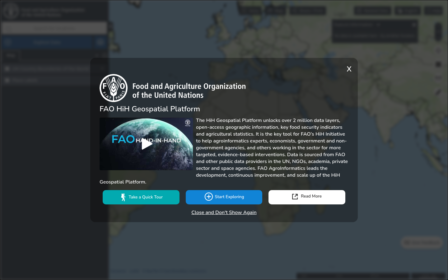
Food and Agriculture Organization Hand-in-Hand Geospatial Platform

The Hand-in-Hand (HiH) Geospatial Platform is the enabling tool for the HiH Initiative unlocking over 2 million data layers for more targeted, evidence-based interventions.

Active

This Digital Public Good provides open-access geographic information, key food security indicators and agricultural statistics sourced from FAO and from external organizations such as NGOs, academia, the private sector, and space agencies. The platform is developed and scaled up by the FAO AgroInformatics team of the Digitalization and Informatics Division.

Project type
Resource
Language(s)
English
Added
2024-09-27
Last modified
2026-07-12T16:44:59.000Z

Additional details

Number of integrations
0
Sustainable Development Goals
2. Zero hunger
Issues addressed
agriculture
Geographic focus
Global
Political unit
United Nations

More in Civic data