
Satellite Eye
Satellite Eye is a free web-based imaging-satellite pass tracker from the space-tracking site Orbital Radar that estimates how often Earth-observation satellites pass over any location and gives it an A-to-F "surveillance score".
2026

Introducing the world’s best way to make & share maps on the internet.
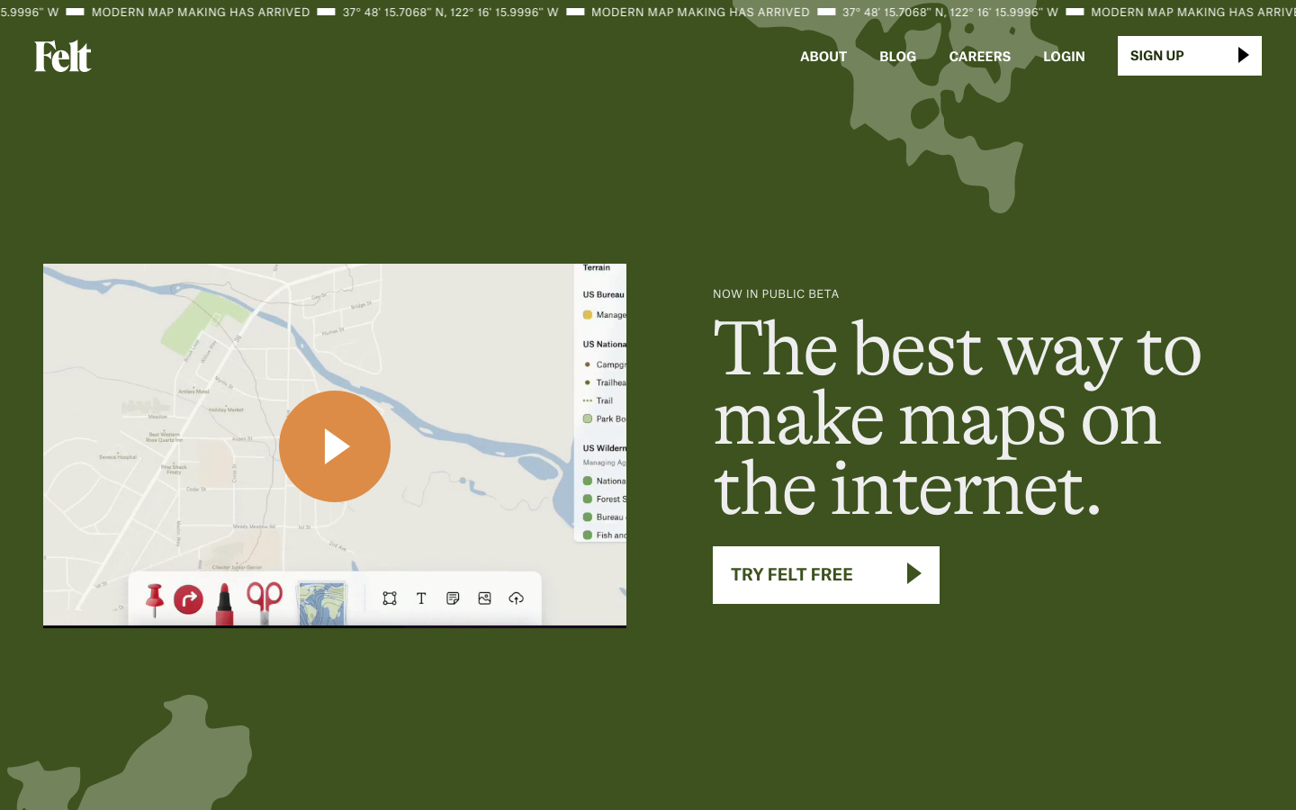
Felt’s built-in drawing tools make map-making approachable and fun. - Marker, Highlighter and Notes allow anyone to treat a map like a piece of sketch paper. - Route and Clip make drawing along roads and boundaries a snap. - Photos, Links, and Videos make maps internet-native for the first time. - All the table-stakes features for a great spatial UI are there from Day 1: copy-paste, undo, rotation, multi-select, touch-support, etc. If you’ve ever tried to make a map before, you’ll find Felt is a radically different experience.
Satellite Eye is a free web-based imaging-satellite pass tracker from the space-tracking site Orbital Radar that estimates how often Earth-observation satellites pass over any location and gives it an A-to-F "surveillance score".

The 'Harnessing Data for Democratic Development in South and Southeast Asia' project currently being implemented by LIRNEasia is focused on the data policy ecosystems in South and Southeast Asia.

Flock Surveillance Map is an independent surveillance-transparency map that plots the locations and status of Flock Safety camera and drone devices across the United States.

Search CMS nursing home ratings, federal penalties, staffing, and ownership records for every certified U.S. nursing home.
