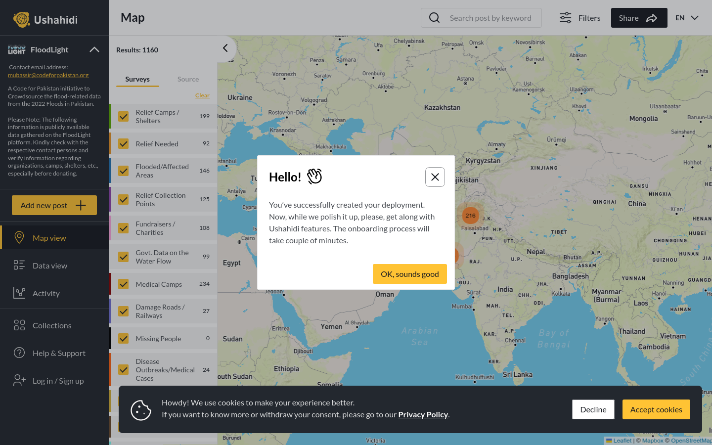
FloodLight
A Code for Pakistan initiative to Crowdsource the flood-related data from the 2022 Floods in Pakistan.
Pakistan
2022
floods

Crowdsourced reporting on Illegal Factories on Farmland in Taiwan
In Taiwan, there has been a long-standing issue of illegal factories built on agricultural land, and local governments lack the resources to proactively investigate these viola- tions. It relies on voluntary reports from citizens. However, with a vast agricultural area and numerous illegal factories, there was a need to mobilize the power of Taiwanese so- ciety and design a more convenient reporting system. In July 2019, Citizen of the Earth, Taiwan (CET), first proposed the idea at the g0v Hackathon. Since the foundation didn’t possess the technical expertise for digital product development, they recruited web en- gineers, programmers, Geographic Information System experts, and project managers to collaborate with g0v contributors in developing the “Agricultural Land Violation Re- porting System.” This system provides an anonymous platform for reporting illegal con- structions, and Disfactory conducts further investigations and submits the data to gov- ernment agencies, relieving the psychological burden on individuals who fear retaliation for reporting. As of September 2023, the official website has accumulated 6,085 reports, 755 complaint documents, and 507 factories have been penalized. Website
A Code for Pakistan initiative to Crowdsource the flood-related data from the 2022 Floods in Pakistan.
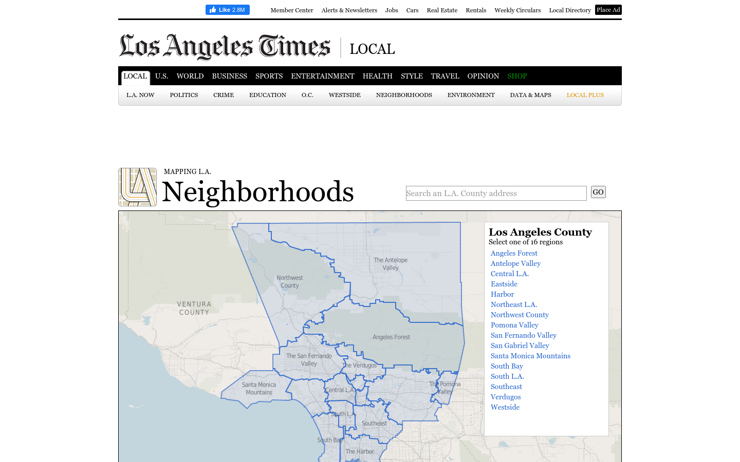
This regional view is your portal to individual maps and statistics for 158 cities and unincorporated places and 114 neighborhoods within the city of Los Angeles.
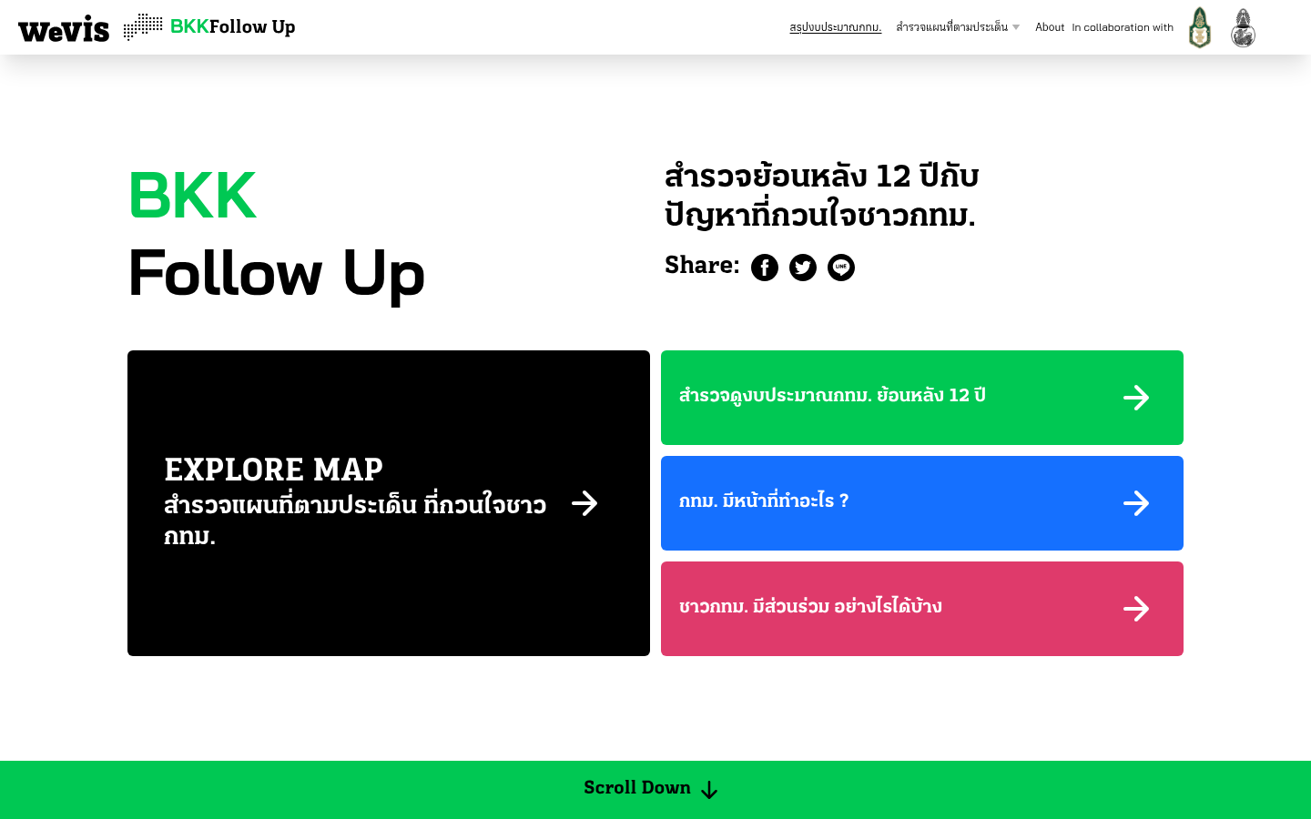
A 12-year retrospective of problems that have bothered Bangkok residents | สำรวจปัญหากวนใจชาว กทม.
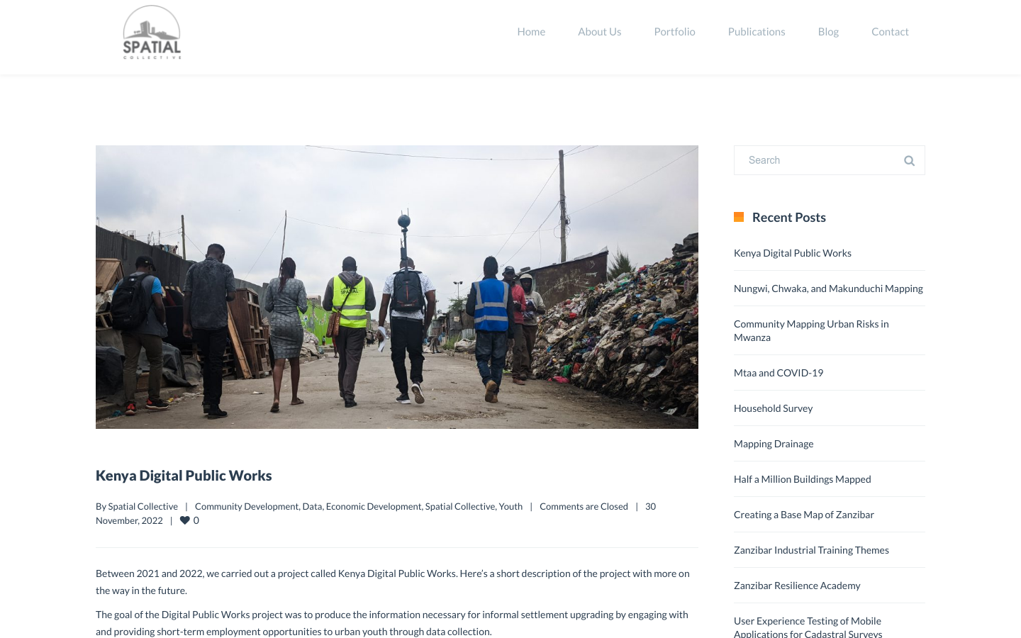
"DPW set out to answer a question: Can the youth use affordable and widely available technologies to gather the information necessary to support informal settlement upgrading?"