
Satellite Networked Open Ground Station (SatNOGS)
SatNOGS (Satellite Networked Open Ground Station) is an open-source, participatory network of satellite ground stations that lets people around the world receive satellite signals.

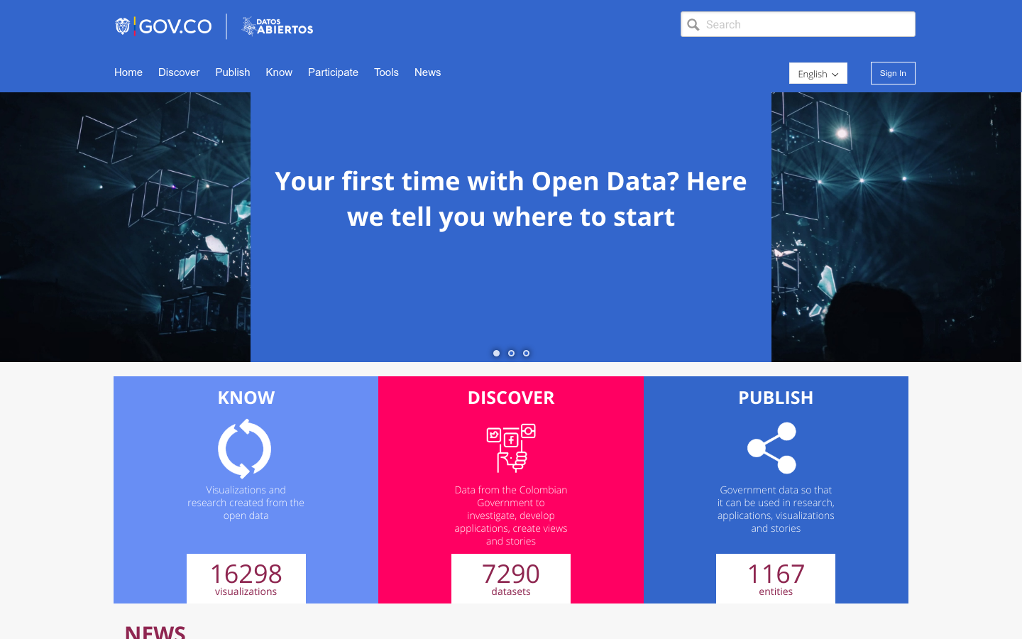
Is the biggest public repository of Open Data in Colombia, created by the IT Ministry with the goal of fostering collaboration and the development of new applications and visualizations. (Socrata platform)
Project(s): ¿Cómo Crear Historia con Datos?
100 / 100 · Active
InactiveActive
SatNOGS (Satellite Networked Open Ground Station) is an open-source, participatory network of satellite ground stations that lets people around the world receive satellite signals.

접근성 지도 (Accessibility Map) is a beta wheelchair-accessibility map that ranks searched places in South Korea by estimated accessibility, color-coded from high to low, using public building and facility data.

No Stairs Please is a venue directory that lists music nights, booking contacts, room capacity and show history at small and mid-size venues, for musicians who book their own shows.

ΦροντίΖΩ is a citizen-reporting tool that lets residents of Agrinio report neighborhood problems such as lighting, roads and cleanliness to the Municipality of Agrinio, placing each report on a map.
