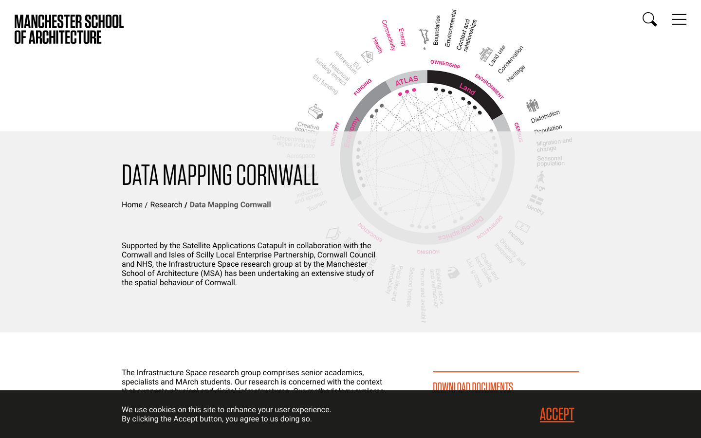
Data Mapping Cornwall provides a summary of this spatial investigation of Cornwall, conducted by a large team of academics, experts and postgraduate students between September 2016 and March 2017.
Generated from a starting point that considers Cornwall as a contemporary urban space within a rural context, this work comprises exploratory mappings that compare and spatially represent publicly available, existing data sets to identify opportunities and challenges for the county. Distance and physical connectivity provide challenges within Cornwall, yet today’s digital communication and applications technologies offer opportunities to reimagine how communities can thrive when supported within wider and more responsive real and virtual networks.
With an overarching goal to understand the context that supports healthcare in the UK, focussing on Cornwall as a place, this work considers existing and potential relationships between physical and digital infrastructures. It explores the potential of creating intertwined relationships between these infrastructures and the spaces they define and inhabit to elevate performance and enhance health provision in the region. The research embeds architectural understanding of human interaction with place and space. This is developed through critically testing, intersecting, representing and refining findings produced by analysis of data sets, supported by targeted field visits within four key themes:
Networks and Connectivity
Demographics and Economy
Energy and Power
Health and Lifestyle
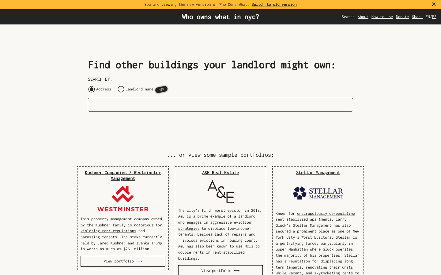
Use this free tool from JustFix to research your building and investigate landlords! We use property ownership mapping to identify a landlord's portfolio