Transparency & Accountability Initiative Grants Database
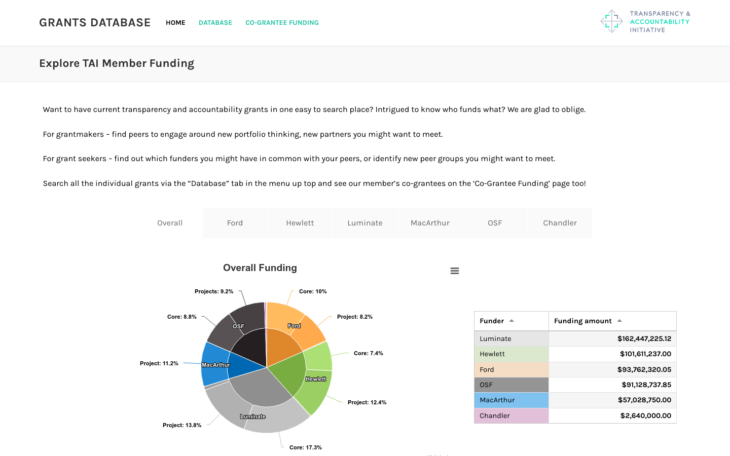
Includes funding from Ford, Hewlett, Luminate, MacArthur, OpenSocietyFoundation, and Chandler foundations totaling over half a billion dollars
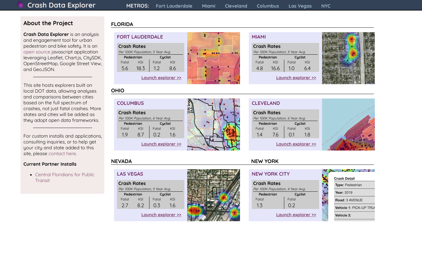
Crash Data Explorer is an open source analysis and engagement tool for urban pedestrian and bike safety.
Crash Data Explorer is an open source mapping tool that was originally created in 2020 by researchers at The Ohio State University to gain new perspective on the challenge of traffic crashes in Columbus, Ohio. Yet it was designed to be adaptable for use by government agencies and groups in communities of all sizes. It is a fast client-side Javascript web application leveraging Leaflet, Chart.js, and CitySDK. Its main setup requirement is for traffic crash and boundary data to be converted into specified GeoJSON formats. Sample Python scripts which do this for Columbus Ohio's crash data and geographies are provided with the source code. If you are interested in using it or improving it we'd be happy to chat.


Includes funding from Ford, Hewlett, Luminate, MacArthur, OpenSocietyFoundation, and Chandler foundations totaling over half a billion dollars
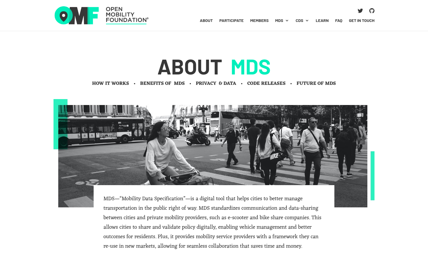
MDS standardizes communication and data-sharing between cities and private mobility providers, such as e-scooter and bike-share companies.

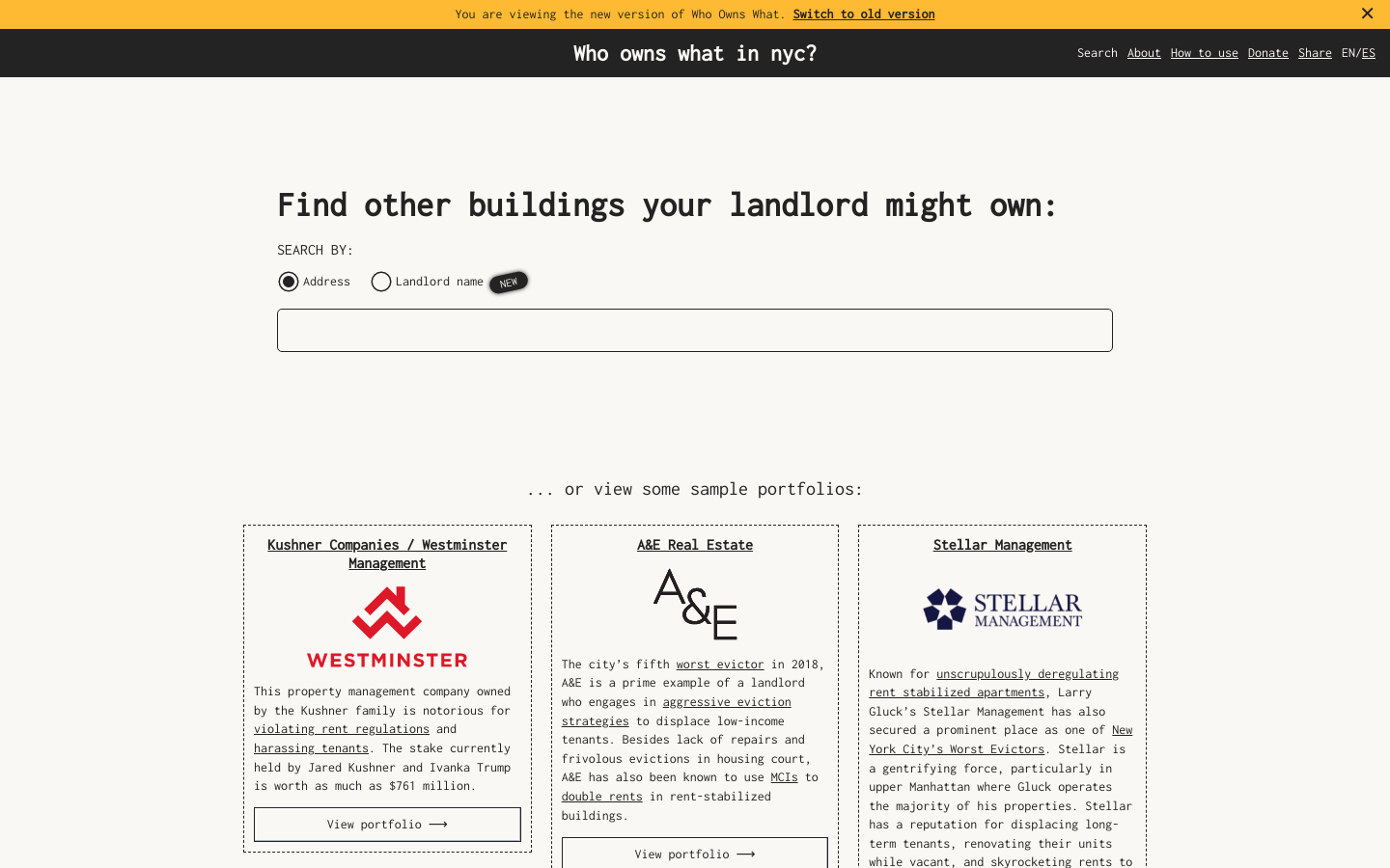
Use this free tool from JustFix to research your building and investigate landlords! We use property ownership mapping to identify a landlord's portfolio

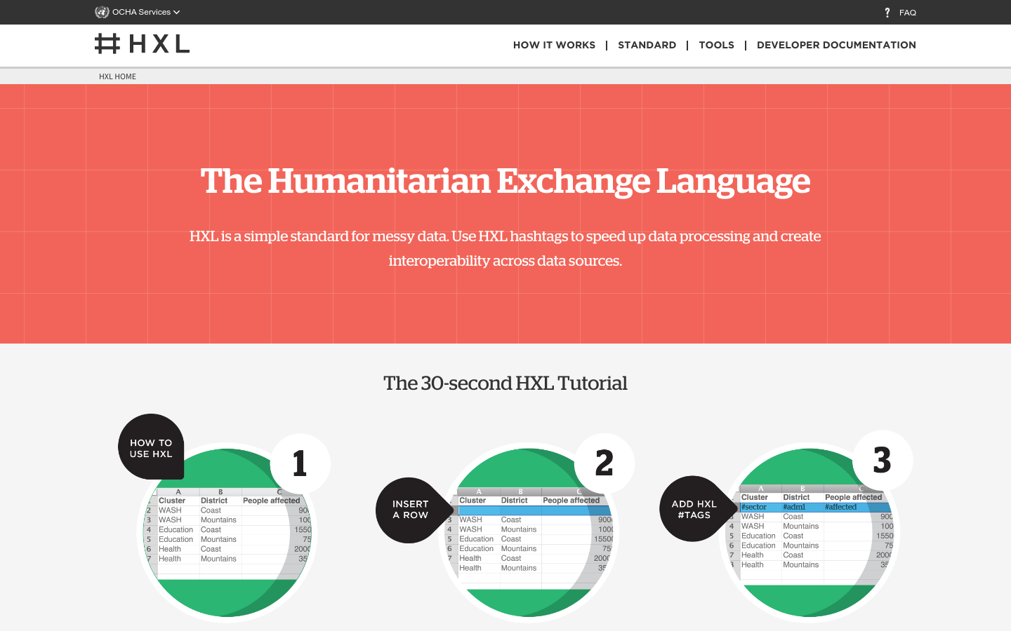
HXL is a different kind of data standard, designed to improve information sharing during a humanitarian crisis without adding extra reporting burdens.