Traffic Cam Photobooth
Take selfies with surveillance!
New York City
city, surveillance, Sustainable cities and communities

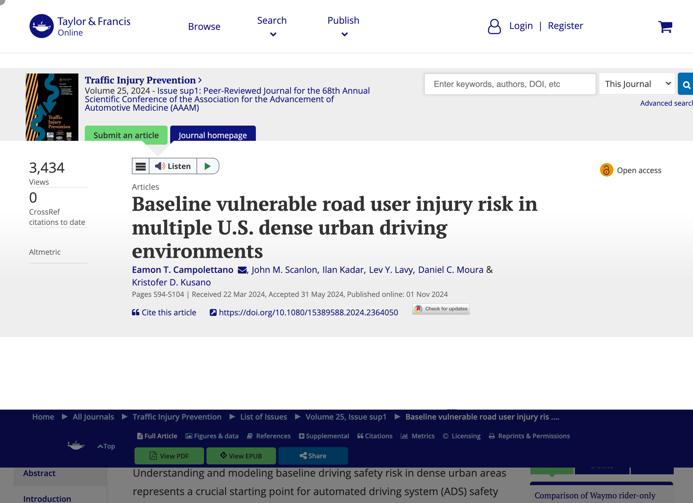
Waymo partnered with dashcam company Nexar to analyze 500 million miles of driving, including 335 crashes, to create the 'largest ever’ dataset of pedestrian and cyclist injuries
By Eamon T. Campolettano, John M. Scanlon, Ilan Kadar, Lev Y. Lavy, Daniel C. Moura & Kristofer D. Kusano Understanding and modeling baseline driving safety risk in dense urban areas represents a crucial starting point for automated driving system (ADS) safety impact analysis. The purpose of this study was to leverage naturalistic vulnerable road user (VRU) collision data to quantify collision rates, crash severity, and injury risk distributions in the absence of objective injury outcome data.
Take selfies with surveillance!
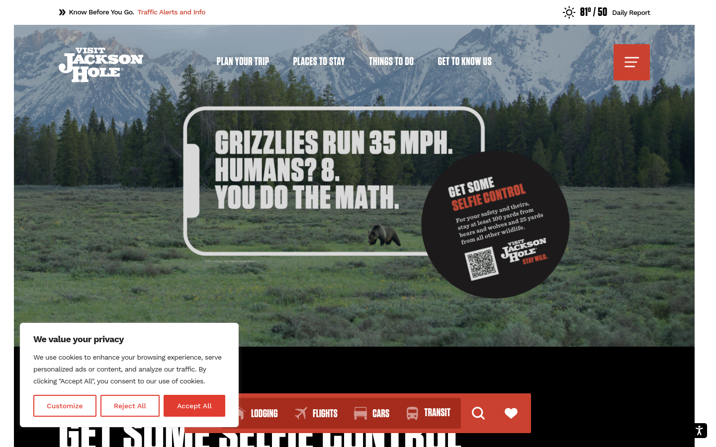
An Instagram filter that reminds you not to get too close to wild animals as you take your photo
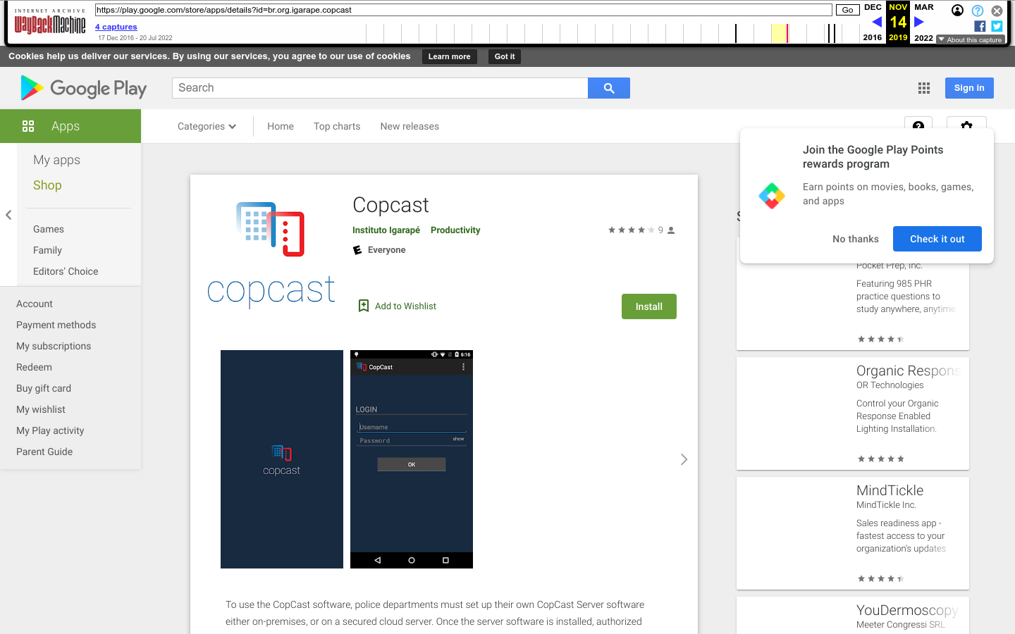
Copcast is an open-source project that can turn any Android phone into a body-worn camera system for law enforcement, providing a more cost-effective and accessible solution for law enforcement officers around the world.