
Satellite Eye
Satellite Eye is a free web-based imaging-satellite pass tracker from the space-tracking site Orbital Radar that estimates how often Earth-observation satellites pass over any location and gives it an A-to-F "surveillance score".
2026

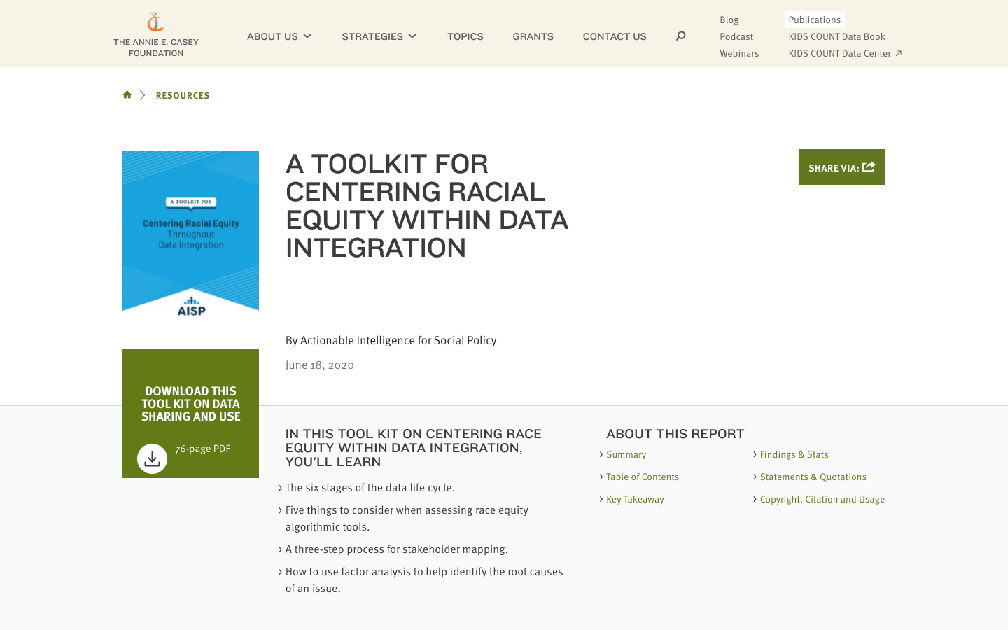
This tool kit, developed by a national workgroup of civic data stakeholders, aims to support data sharing and integration done well.
In this Tool Kit on Centering Race Equity Within Data Integration, You'll Learn The six stages of the data life cycle. Five things to consider when assessing race equity algorithmic tools. A three-step process for stakeholder mapping. How to use factor analysis to help identify the root causes of an issue.
Satellite Eye is a free web-based imaging-satellite pass tracker from the space-tracking site Orbital Radar that estimates how often Earth-observation satellites pass over any location and gives it an A-to-F "surveillance score".

The 'Harnessing Data for Democratic Development in South and Southeast Asia' project currently being implemented by LIRNEasia is focused on the data policy ecosystems in South and Southeast Asia.

Flock Surveillance Map is an independent surveillance-transparency map that plots the locations and status of Flock Safety camera and drone devices across the United States.

Search CMS nursing home ratings, federal penalties, staffing, and ownership records for every certified U.S. nursing home.
